| Area |
North Fork |
| Topic |
Tour: Flynn Creek Dry Season Photos 2001 |
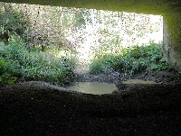 Click on image to enlarge (91K). Click here to display a larger version (802K).
Looking upstream on Flynn Creek from beneath the bridge on Highway 128 with an isolated pool in a stream bed dominated by sand and silt. The string in the middle of the photo is likely the result of some type of survey at this site earlier in summer. Photo by Pat Higgins, 9/21/01.
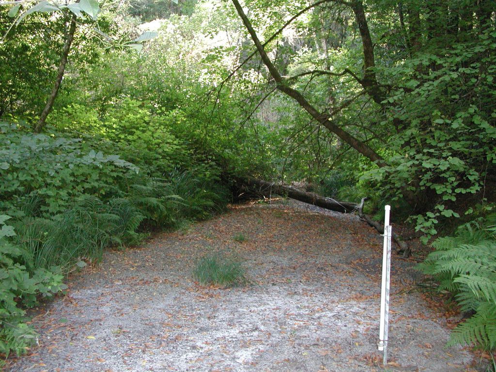
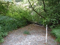 Click on image to enlarge (52K). Click here to display a larger version (259K).
Looking downstream on Flynn Creek near the bridge on Highway 128 with stream gage in the foreground. Material in the streambed is predominately sand with no habitat value and severe aggradation has caused the loss of surface flow at this site. Photo by Pat Higgins, 9/21/01.
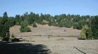 Click on image to enlarge (62K). Click here to display a larger version (479K).
View of Keene Summit, a meadow at the headwaters of Flynn Creek and North Fork Navarro River. This site may be a conversion of coniferous forest to rangeland. Photo by Pat Higgins, 9/21/01.
To learn more about this topic click Info Links
To view additional information (data source, aquisition date etc.) about this page, click Metadata

 Click on image to enlarge (91K). Click here to display a larger version (802K).
 Click on image to enlarge (52K). Click here to display a larger version (259K).
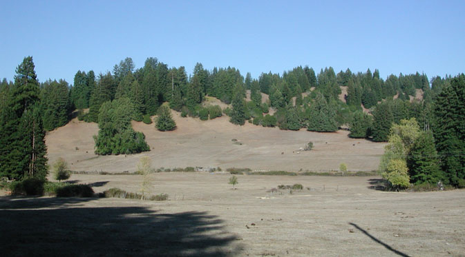 Click on image to enlarge (62K). Click here to display a larger version (479K).
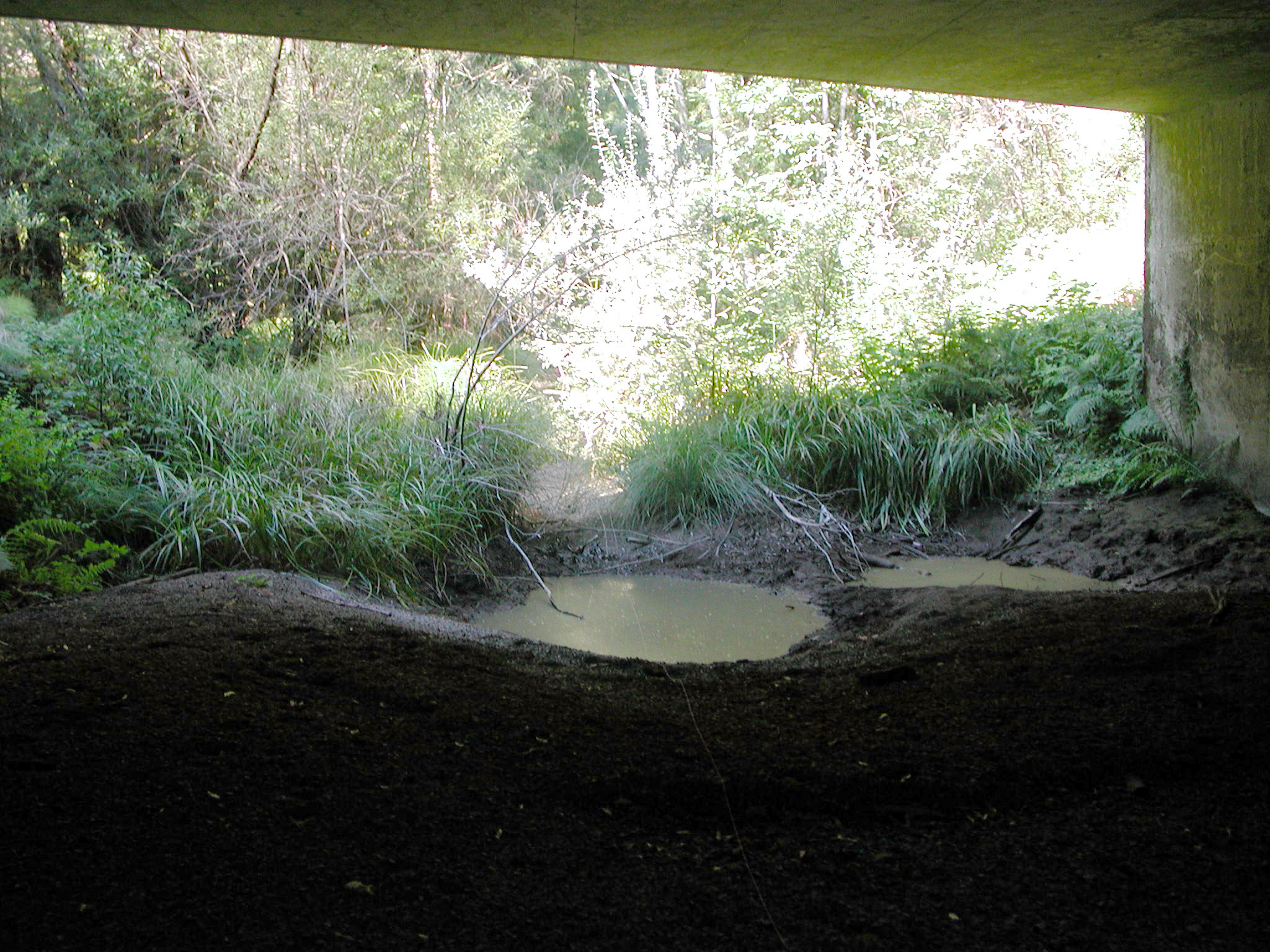