
|
Area/Topic | Bibliography | Background | Hypotheses | Home |
|
Map Page.
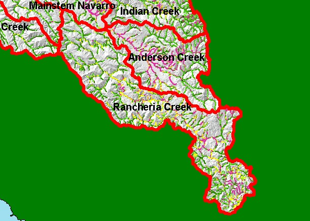
You selected the area Rancheria Creek and the topic Map: 1E USFS Riparian Veg Size, Rancheria Creek Sub-basin |
| This is a map of 1994 USFS Landsat vegetation size data within 90-meter riparian buffer zones in the Rancheria Creek sub-basin. Displayed in the background is a grayscale hillshade of elevation. Lack of trees greater than 40 inches in diameter (Very Large/Giant) in the riparian zone of lower Rancheria Creek and its tributaries is as a result of continuous logging over the last 60 years. Data provided by the U.S. Forest Service Pacific Southwest Region Remote Sensing Lab, Sacramento, CA. Scale = 1:280,482 . | |||
|
|
||
To view metadata about a map layer, click on a link in the table below.
| Name of Layer in Map Legend | Metadata File Name |
|---|---|
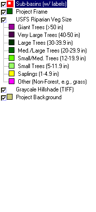
| Sub-basins (w/ labels) | subbasins.shp.txt |
| Project Frame | Unavailable |
| USFS Riparian Veg Size | vegsizebuf.tif.txt |
| USFS Vegetation Size | vegsize.tif.txt |
| Topo Map (1:24k scale) | Unavailable |
| Graycale Hillshade (TIFF) | grayscale_xnv_light.tif.txt |
| Project Background | Unavailable |
| www.krisweb.com |