| Area |
Rancheria Creek |
| Topic |
Tour: Beebe Creek High Winter Flows 2002 |
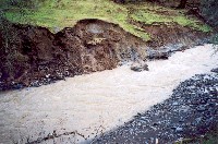 Click on image to enlarge (36K). Click here to display a larger version (276K).
This photo shows Beebe Creek near Highway 128 milepost 39, during high winter flows at 3 P.M. on December 31, 2002, when the Navarro River was flowing at approximately 9,000 cubic feet per second. A portion of the north stream bank several hundred feet long is collapsing. Portions of the bank were flaking off into the creek as the photograph was taken. This photograph was taken immediately upstream from the previous photograph. Photo was taken by Eli Asarian.
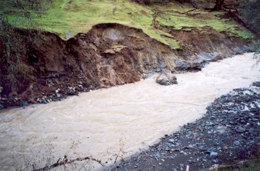
 Click on image to enlarge (35K). Click here to display a larger version (255K).
This photo shows Beebe Creek near Highway 128 milepost 39, during high winter flows at 3 P.M. on December 31, 2002, when the Navarro River was flowing at approximately 9,000 cubic feet per second. A portion of the north stream bank several hundred feet long is collapsing. Portions of the bank were flaking off into the creek as the photograph was taken. This photograph was taken immediately downstream from the next photograph. Photo was taken by Eli Asarian.
To learn more about this topic click Info Links
To view additional information (data source, aquisition date etc.) about this page, click Metadata

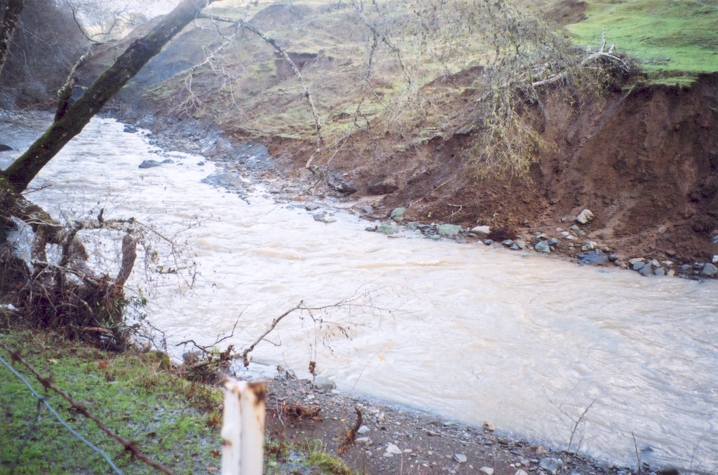
 Click on image to enlarge (36K). Click here to display a larger version (276K).
 Click on image to enlarge (35K). Click here to display a larger version (255K).
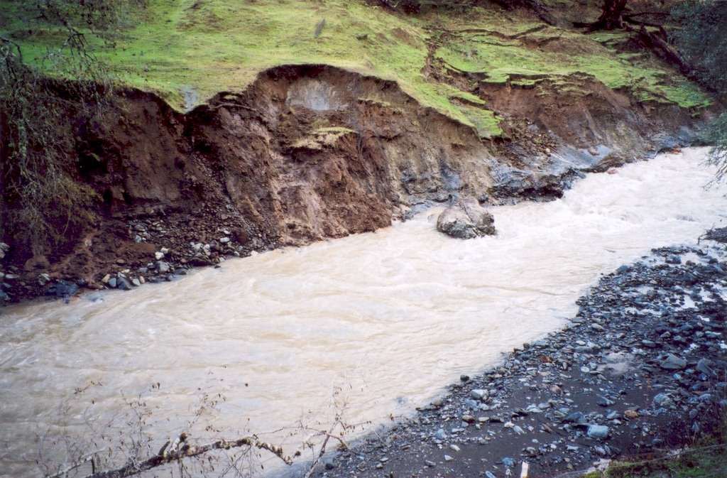