| Area |
Rancheria Creek |
| Topic |
Tour: Rancheria Creek High Winter Flows 2002 |
 Click on image to enlarge (36K). Click here to display a larger version (293K).
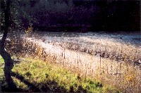
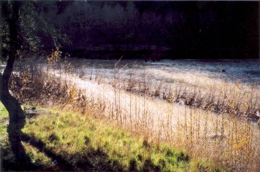
This photo shows Rancheria Creek near Highway 128 milepost 34, during high winter flows at 2 P.M. on December 31, 2002, when the Navarro River was flowing at approximately 10,000 cubic feet per second. This photograph looks upstream. Photo was taken by Eli Asarian.
 Click on image to enlarge (40K). Click here to display a larger version (315K).
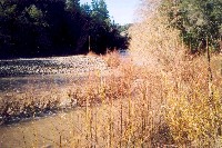
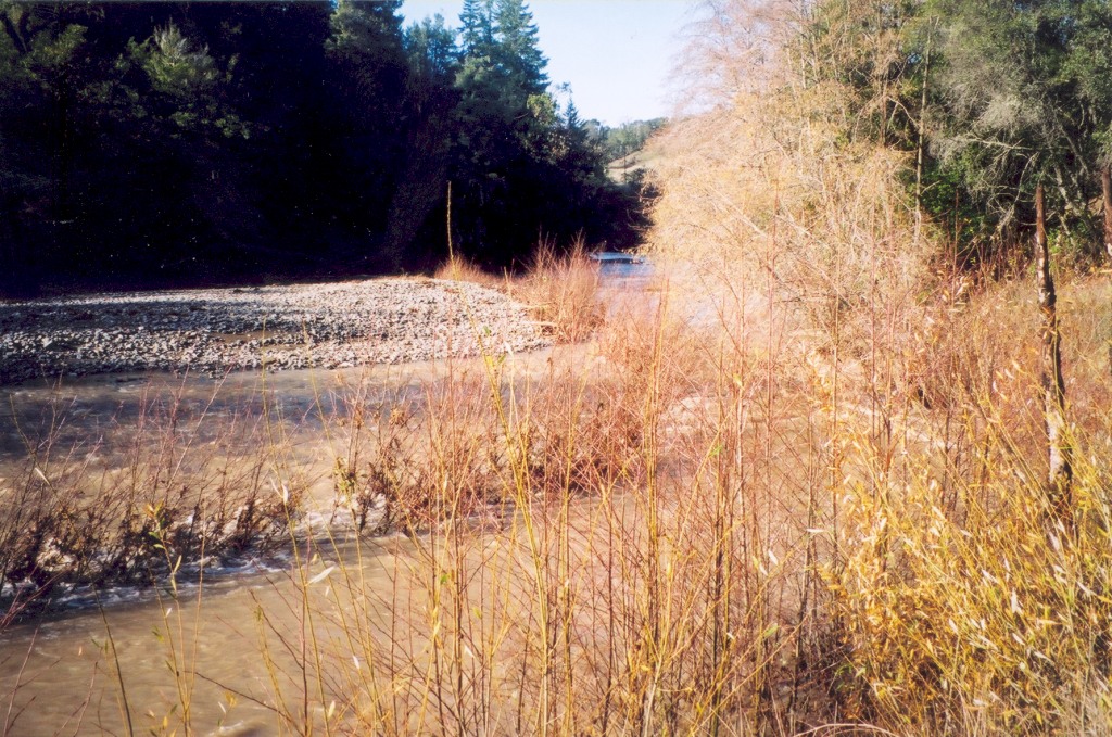
This photo shows Rancheria Creek near Highway 128 milepost 34, during high winter flows at 2 P.M. on December 31, 2002, when the Navarro River was flowing at approximately 10,000 cubic feet per second. This photograph looks downstream. Photo was taken by Eli Asarian.
 Click on image to enlarge (45K). Click here to display a larger version (330K).
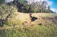
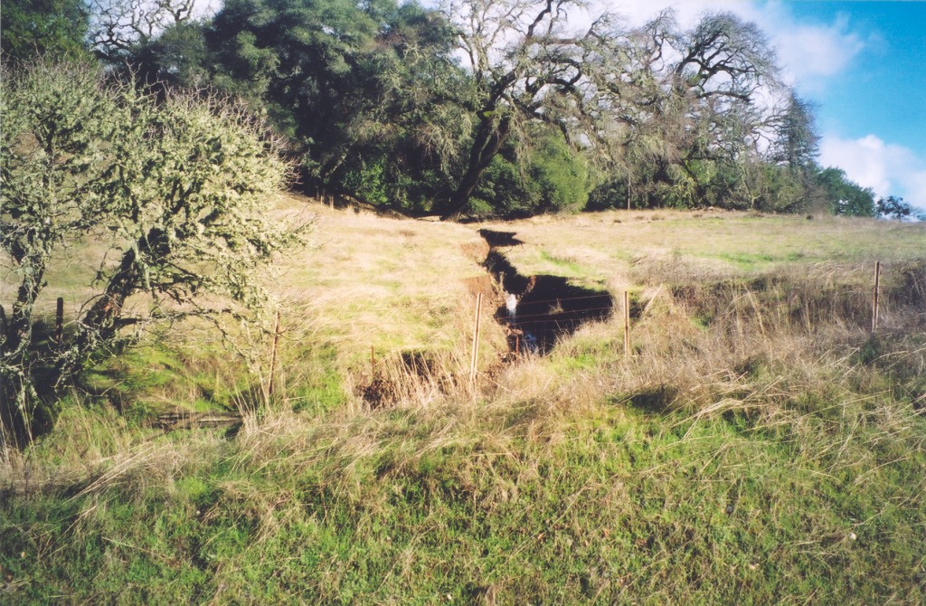
This photo shows a gully (cause unknown) on the hillside above Highway 128, southeast of Shearing Creek. Photo was taken by Eli Asarian on December 31, 2002.
 Click on image to enlarge (32K). Click here to display a larger version (242K).
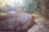
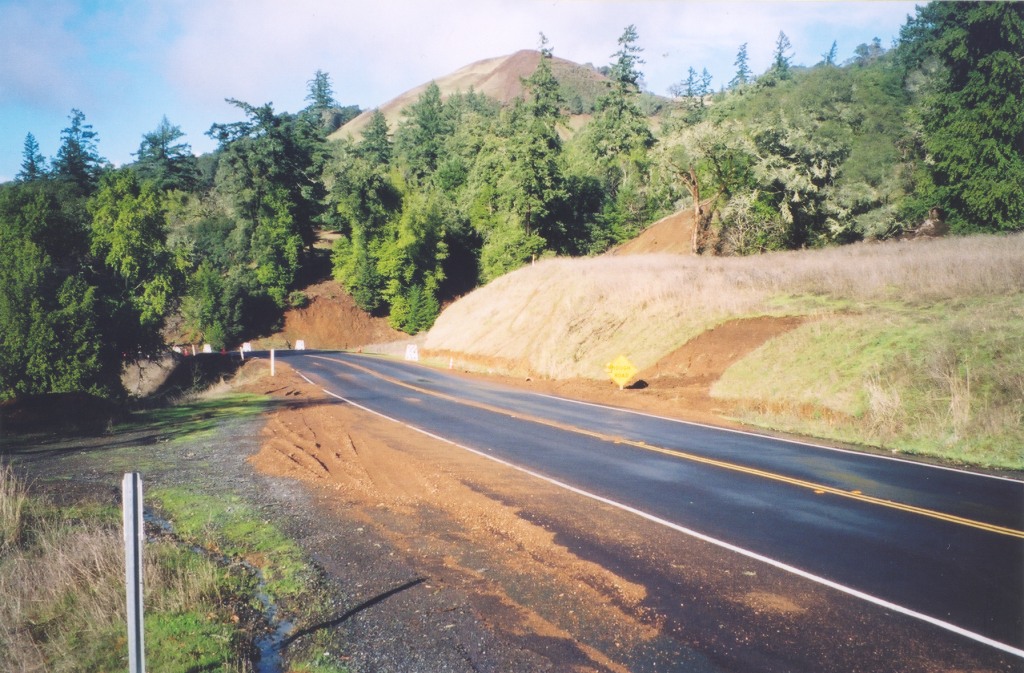
This photo shows erosion sites adjacent to Highway 128, southeast of Shearing Creek. Photo was taken by Eli Asarian on December 31, 2002.
 Click on image to enlarge (34K). Click here to display a larger version (284K).
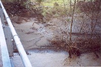
This photo shows Rancheria Creek at the Fish Rock Road bridge, during high winter flows at 3 P.M. on December 31, 2002, when the Navarro River was flowing at approximately 9,000 cubic feet per second. This photograph looks upstream. Photo was taken by Eli Asarian.
 Click on image to enlarge (244K).
This photo shows Rancheria Creek at the Fish Rock Road bridge, during high winter flows at 3 P.M. on December 31, 2002, when the Navarro River was flowing at approximately 9,000 cubic feet per second. This photograph shows the streambank on the southeast side of the bridge. Large amounts of fine sediment are visible. Photo was taken by Eli Asarian.
To learn more about this topic click Info Links
To view additional information (data source, aquisition date etc.) about this page, click Metadata

 Click on image to enlarge (36K). Click here to display a larger version (293K).
 Click on image to enlarge (40K). Click here to display a larger version (315K).
 Click on image to enlarge (45K). Click here to display a larger version (330K).
 Click on image to enlarge (32K). Click here to display a larger version (242K).
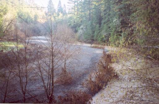 Click on image to enlarge (34K). Click here to display a larger version (284K).
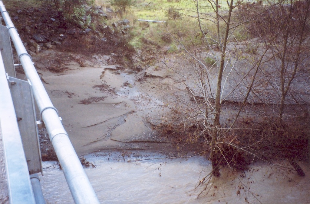 Click on image to enlarge (244K).
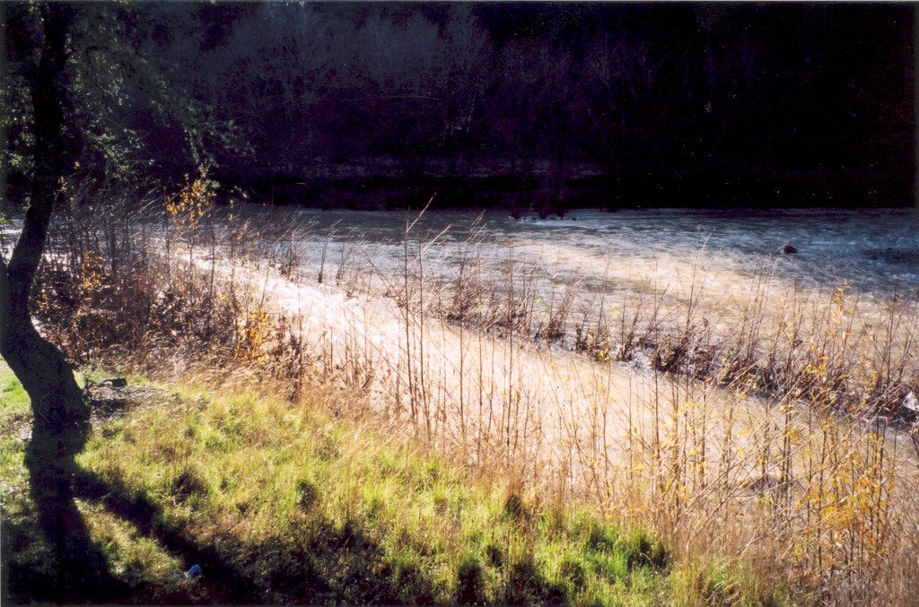