
| Area | Austin Creek |
| Topic | Tour: Austin Creek State Parks Road Erosion Control #3 (PWA) |
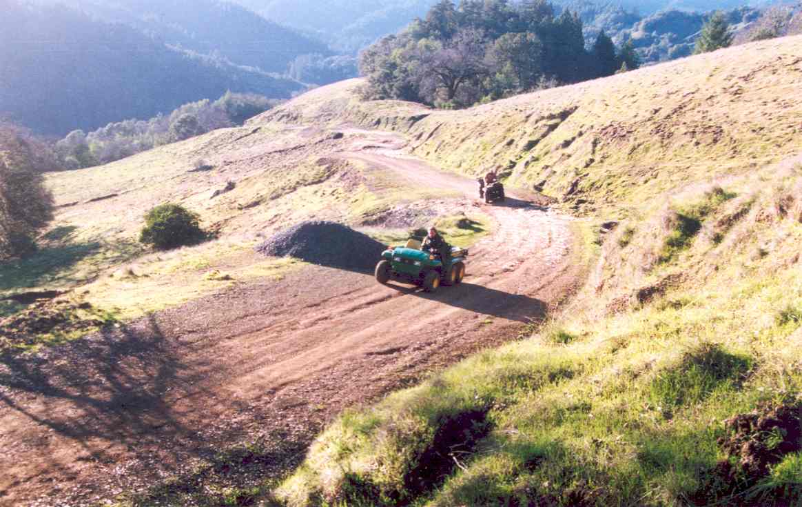
This is Figure 10 from Pacific Watershed Associates (2002) East Austin Creek Watershed Erosion Control and Prevention Project Final Report, which was captioned in the report as follows: "Often in grassland settings, ditches must be retained to insure a stable road bed. However, the road bed should be outsloped and berms removed, where possible, to disperse fine sediment originating from the road bed off the outside edge of the road, and not have it delivered to the ditch. Heavy fall rains terminated the project last year prior to the final road grading and the distribution of road rock. Some rilling of the road bed occurred during the winter. This section of the road was recently re-graded to improve the outslope and insure the road drains properly in future years" (PWA, 2002). Photo taken in 2002.
This is Figure 11 from Pacific Watershed Associates (2002) East Austin Creek Watershed Erosion Control and Prevention Project Final Report and was entitled: The erodibility of the soil and the spacing between rolling dips dictates the extent of erosion occurring on the road bed. This rolling dip shows rills developing on the road bed when the road steepness, however, all sediment is deposited on the hillslope with none contributed to nearby streams" (PWA, 2002). Photo taken in 2001.
 Click on image to enlarge (97K).
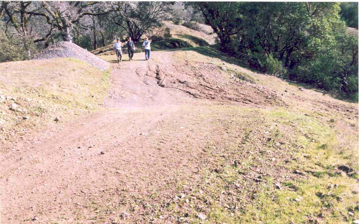 Click on image to enlarge (119K).
To learn more about this topic click Info Links
To view additional information (data source, aquisition date etc.) about this page, click Metadata
| www.krisweb.com |