
| Area | Austin Creek |
| Topic | Tour: Austin Creek Stream Channel |
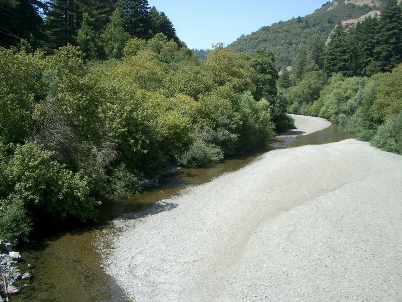
Lower Austin Creek has is a storage reach for sediment and has been subject to gravel mining. Photo by Gary Reedy.
This section of Austin Creek is approximately 4 miles upstream from the Russian River. The substrate is composed mostly of fine sediment. Photo by Gary Reedy.
This section of Austin Creek is approximately 5 miles upstream from the Russian River. A moderate gradient allows for more coarse sediment. Photo by Gary Reedy.
This section of Austin Creek is approximately 5 miles upstream from the Russian River. Note that the riparian covers portions of the stream channel. Photo by Gary Reedy.
This Austin Creek site is located near Cazadero. Photo by Gary Reedy.
This large wood is the only complex habitat in the lower mile of East Austin Creek. Photo by Gary Reedy.
This view of upper Austin Creek was taken from the King Ridge Road. Photo by Gary Reedy.
This view of the lowest reach of Ward Creek, the largest tributary to Austin Creek, was taken from the King Ridge Road. Photo by Gary Reedy.
 Click on image to enlarge (166K).
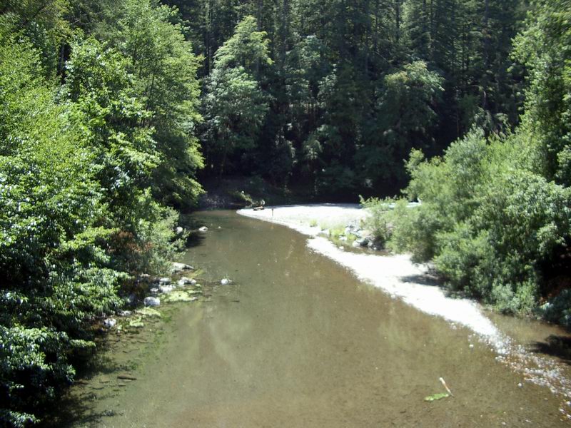 Click on image to enlarge (174K).
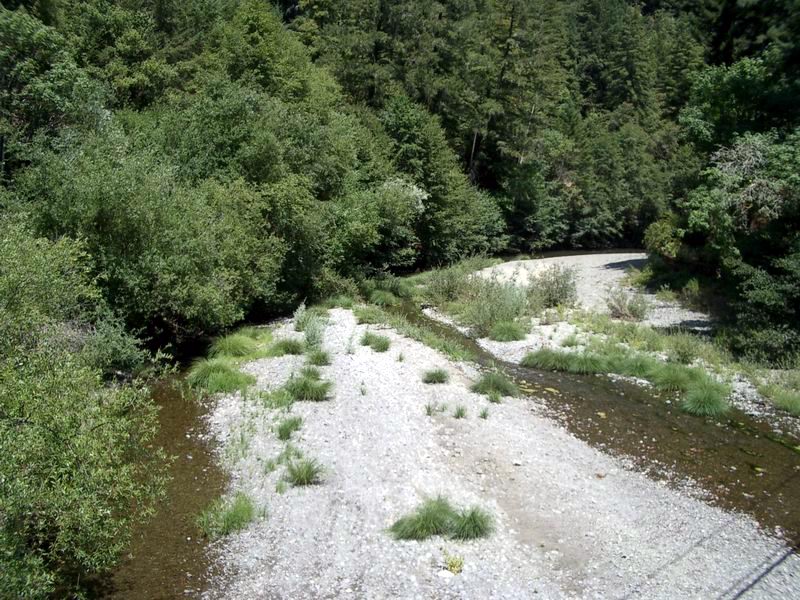 Click on image to enlarge (193K).
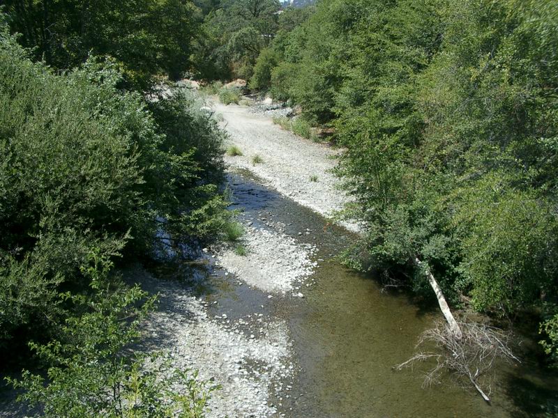 Click on image to enlarge (209K).
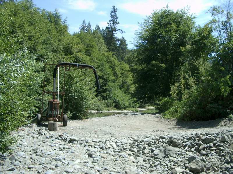 Click on image to enlarge (161K).
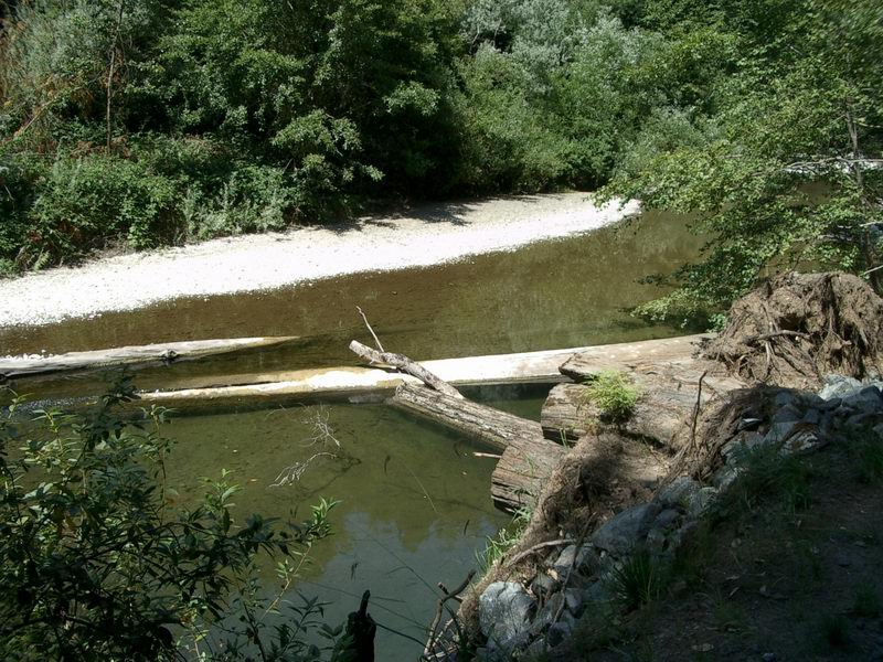 Click on image to enlarge (185K).
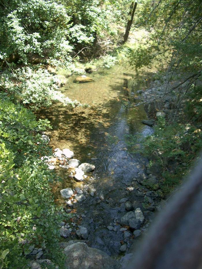 Click on image to enlarge (236K).
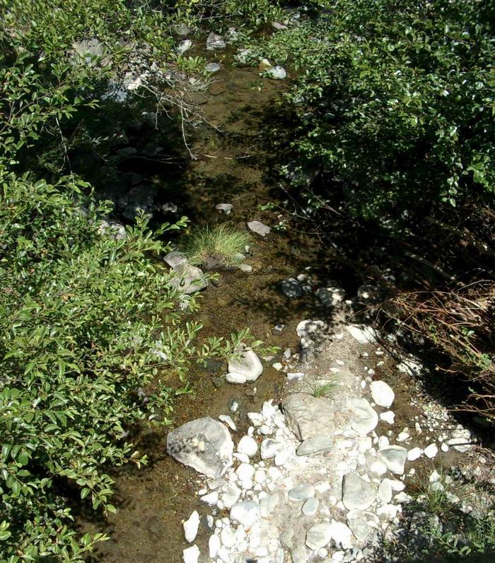 Click on image to enlarge (242K).
To learn more about this topic click Info Links
To view additional information (data source, aquisition date etc.) about this page, click Metadata
| www.krisweb.com |