|
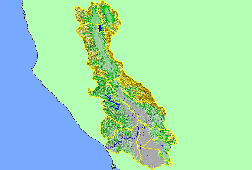
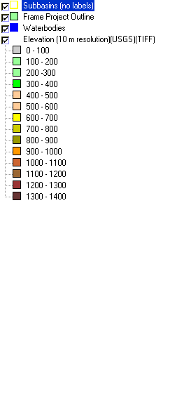
This map is an a Digital Elevation Model (DEM) showing the topography of the landscape in the Russian River basin, displayed with sub-basin boundaries. The majority
of the basin's periphery is steep and mountainous, and there are several broad valleys along the Russian River. Sulphur Creek and the eastern portions of the Ukiah and
Geyserville sub-basins drain the Mayacamas Mountains, which are the highest area in the watershed. The large flat area at the south edge of the basin is the Santa
Rosa Plain. Data were contributed by the U.S. Geological Survey.
|
|