
|
Area/Topic | Bibliography | Background | Hypotheses | Home |
|
Map Page.
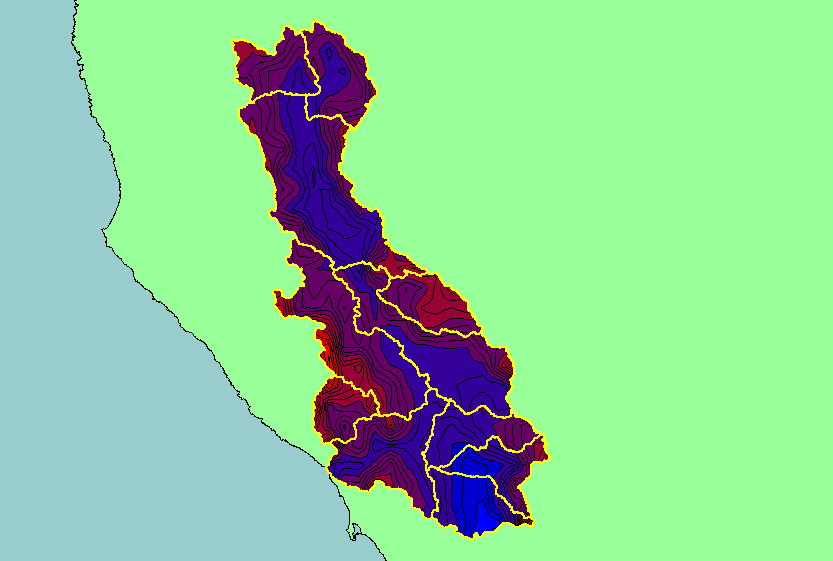
You selected the area Basin-wide/Regional and the topic Map: 1D. Rainfall, Russian River Basin |
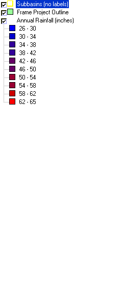
| This is a map of annual rainfall in the Russian River basin based on work by the Oregon Climate Service at Oregon State University, displayed along with sub-basins. Their model was based on 1961-1990 rainfall data. The highest rainfall occurred in areas of higher relief north in the Warm Springs sub-basin north of the Austin Creek sub-basin. | |||
|
|
||
| www.krisweb.com |