|
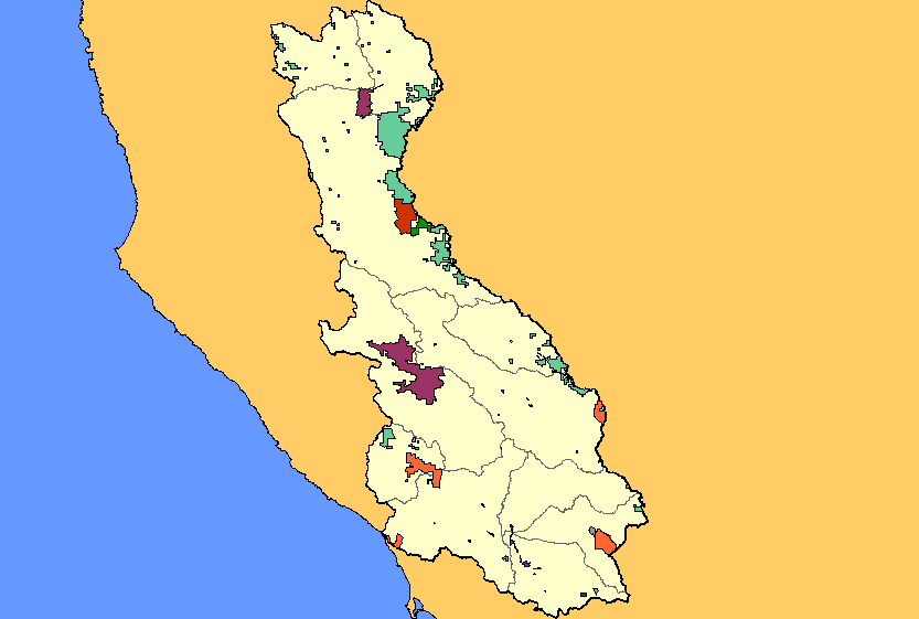
This is a map of the public land ownership in the Russian River basin, displayed with KRIS sub-basins. Public land is relatively scare in the Russian River basin. The
Army Corps of Engineers owns the land behind Coyote and Warm Springs dams, which dam block two of the Russian's largest tributaries. The California Department
of Parks and Recreation owns several parks in the watershed, the most notable for salmonids is Austin Creek State Recreation Area. The U.S. Bureau of Land
Management owns sizeable tracts of land in the Mayacamas mountains at the eastern edge of the watershed. Data were provided by the Teale Data Center. Click the
check box next to a layer to toggle it on/off. Other available layers include additional land ownership layers, Calwater Planning Watersheds, Populated Places,
topographic maps, and streams. Scale = 1:822,559 .
|
|