|
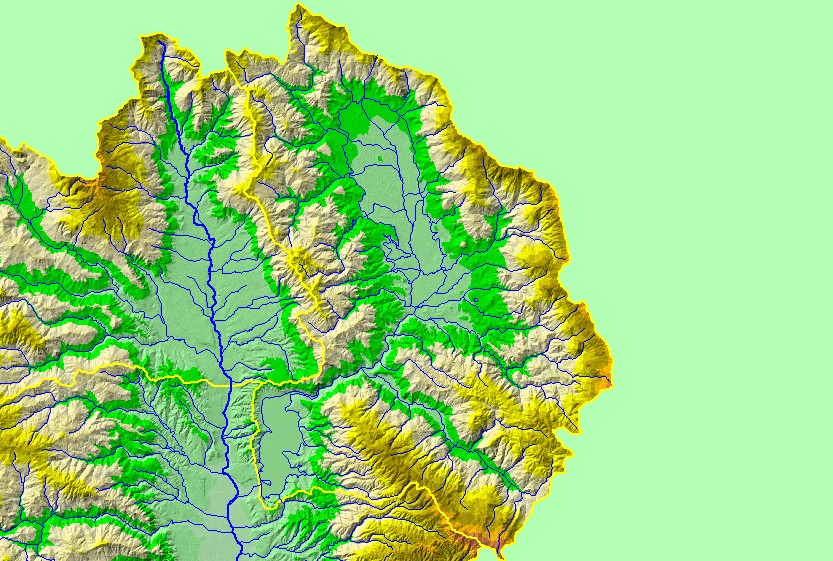
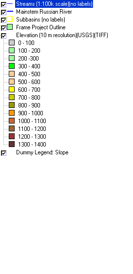
This is a map of the 1:100,000 scale U.S. Geologic Survey hydrography in the Coyote Valley sub-basin, displayed with a Digital Elevation Model (DEM) showing the
topography of the landscape. A diversion tunnel at the top of Potter Valley (large valley at the upper half of the sub-basin) brings in large quantities of water from the
Eel River. Water then flows down the East Fork of the Russian River to Lake Mendocino at the southwest corner of the sub-basin. Most of the perimeter of the
sub-basin is steep terrain, with elevations up to 1200 meters. The large tributary at the southeast corner is Cold Creek. Data were contributed by the U.S. Geological
Survey and the California Department of Forestry.
|
|