
|
Area/Topic | Bibliography | Background | Hypotheses | Home |
|
Map Page.
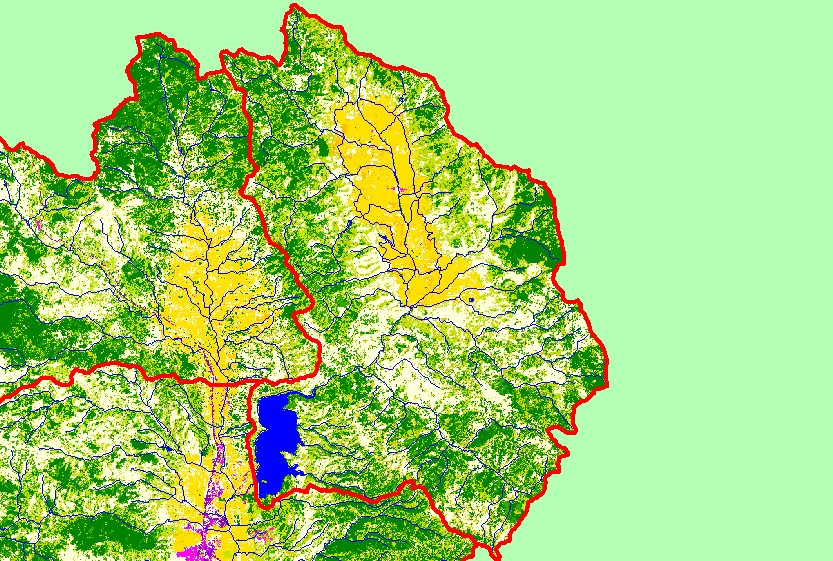
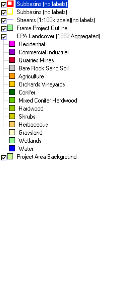
You selected the area Coyote Valley and the topic Map: 1C. EPA Landcover/Landuse, Coyote Valley Sub-basin |
| This is a map of EPA Landcover/Landuse in the Coyote Valley sub-basin, based on a 1992 Landsat TM satellite image, and 1:100,000 scale streams and sub-basins. Potter Valley is covered in grazing and other agricultural lands. The rest of the sub-basin is a mix of conifers, hardwoods, shrubs, grasslands and herbaceous vegetation. Data were provided by the U.S. Environmental Protection Agency. | |||
|
|
||
| www.krisweb.com |