
|
Area/Topic | Bibliography | Background | Hypotheses | Home |
|
Map Page.
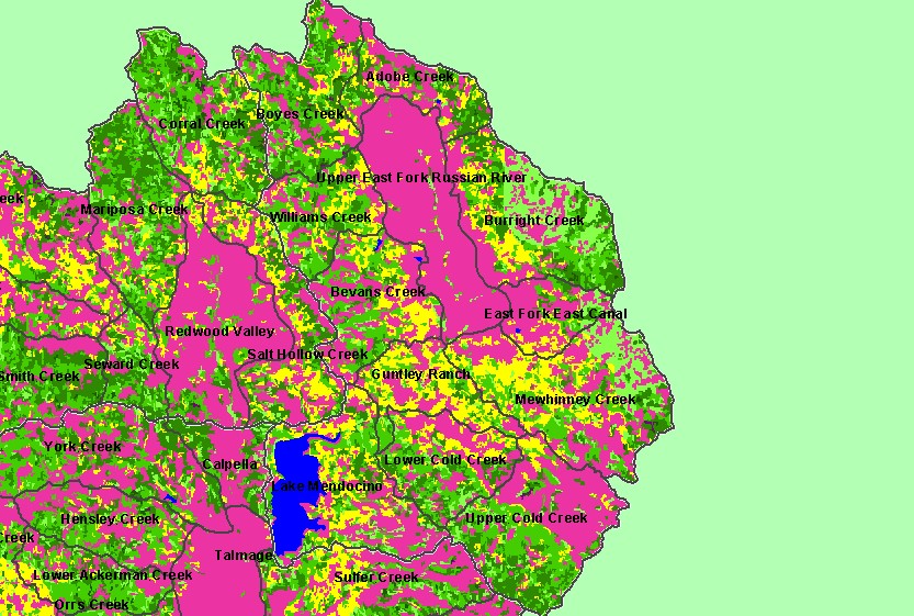
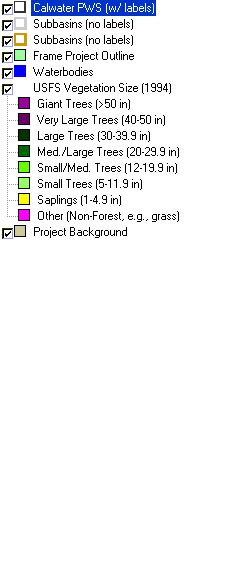
You selected the area Coyote Valley and the topic Land Cover: USFS Veg Size - Coyote Valley Calwaters 1999 |
| This is a map of 1994 USFS Landsat-based vegetation size data in Calwater Planning Watersheds in the Coyote Valley sub-basin. The vegetation classification is accurate at a one-hectare scale and is suitable for stand classification. Data provided by the U.S. Forest Service Spatial Analysis Lab in Sacramento, CA. Click the check box next to a layer to toggle it on/off. Other available themes include Riparian Vegetation Size, Topographic Maps and 1:24,000 streams. Scale = 1:169,365 . | |||
|
|
||
| www.krisweb.com |