
| Area | Coyote Valley |
| Topic | Tour: Lake Mendocino and Outlet of Russian River |
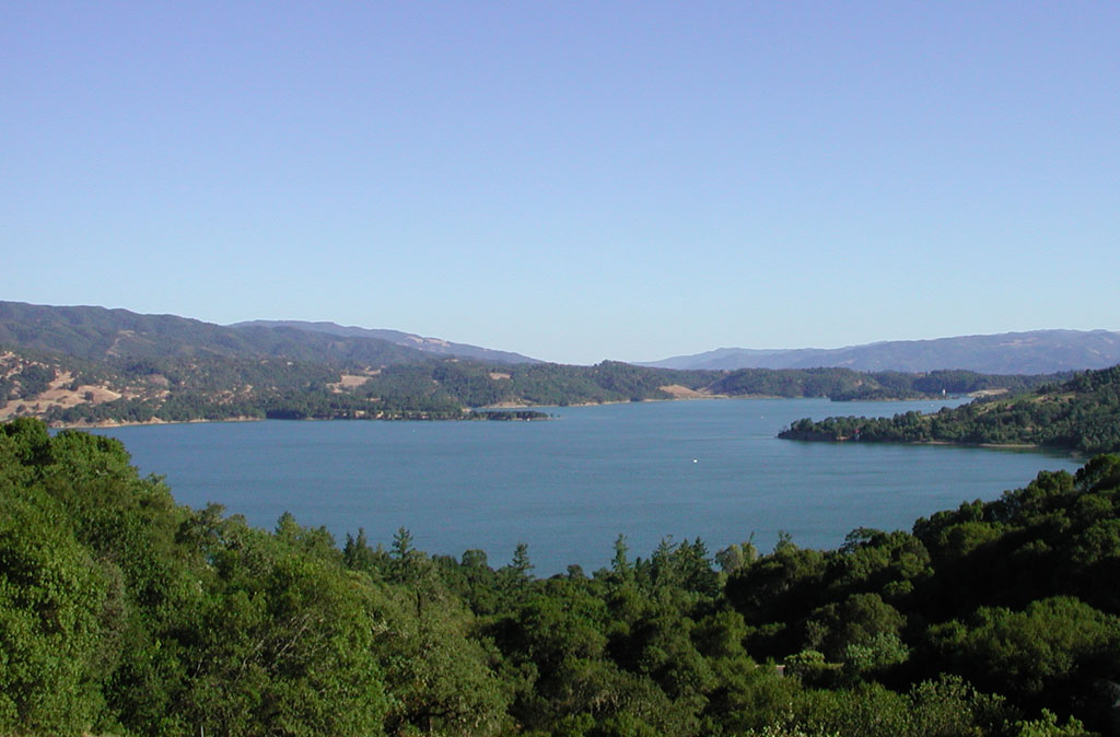
Lake Mendocino looking south from above Highway 20. Picture taken by Patrick Higgins. July 13, 2003.
Looking up East Fork arm of Lake Mendocino with access road for recreation at ACOE campgrounds and boat ramps. Picture taken by Patrick Higgins. July 13, 2003.
Looking downstream on East Fork arm looking west. Picture taken by Patrick Higgins. July 13, 2003.
This photo showing Lake Mendocino and upland vegetation and was taken looking south east off Highway 20. It shows oak woodlands on the ridge immediately up from the reservoir, oak woodlands and interspersed grasslands on the second ridge, while chaparral appears to dominate highest ridges in the distance. Picture taken by Patrick Higgins. July 13, 2003.
This photo shows the Russian River springing from the base of Coyote Dam with the California Department of Fish and Game Coyote Dam Steelhead Rearing Facility adjacent. Picture taken by Patrick Higgins. July 15, 2003.
This photo shows Lake Mendocino with the East Fork flowing in from the right during high flow conditions in winter. Notice snow on ridges and the highly turbid condition of the East Fork. Photo provided by the Sonoma County Water Agency.
 Click on image to enlarge (132K).
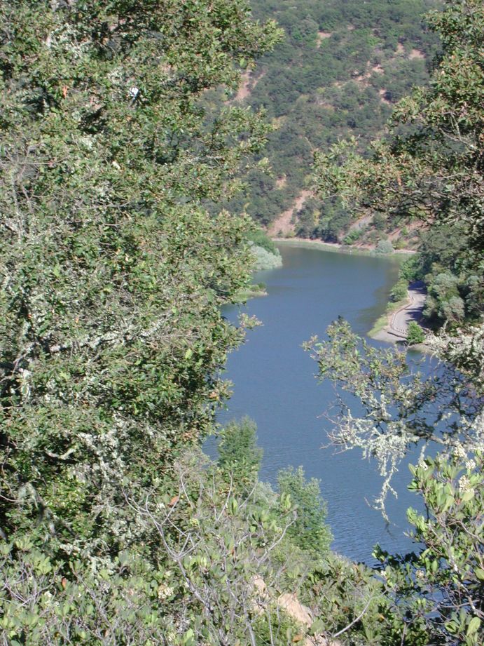 Click on image to enlarge (216K).
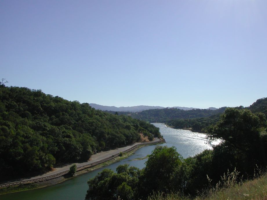 Click on image to enlarge (71K).
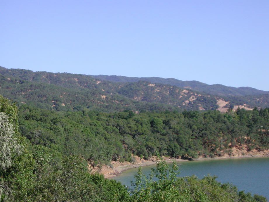 Click on image to enlarge (102K).
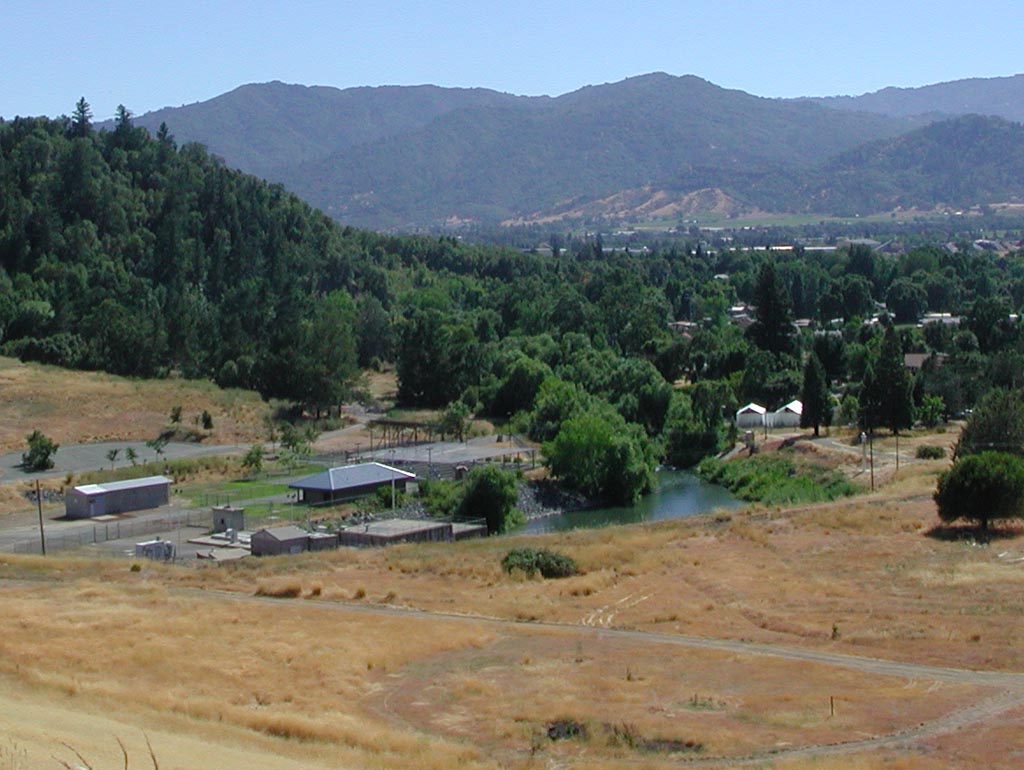 Click on image to enlarge (133K).
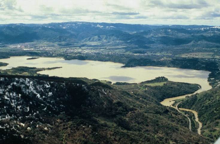 Click on image to enlarge (51K).
To learn more about this topic click Info Links
To view additional information (data source, aquisition date etc.) about this page, click Metadata
| www.krisweb.com |