
| Area | Forsythe Creek |
| Topic | Tour: Forsythe Creek Channel Below Highway 101 (Downcutting) |
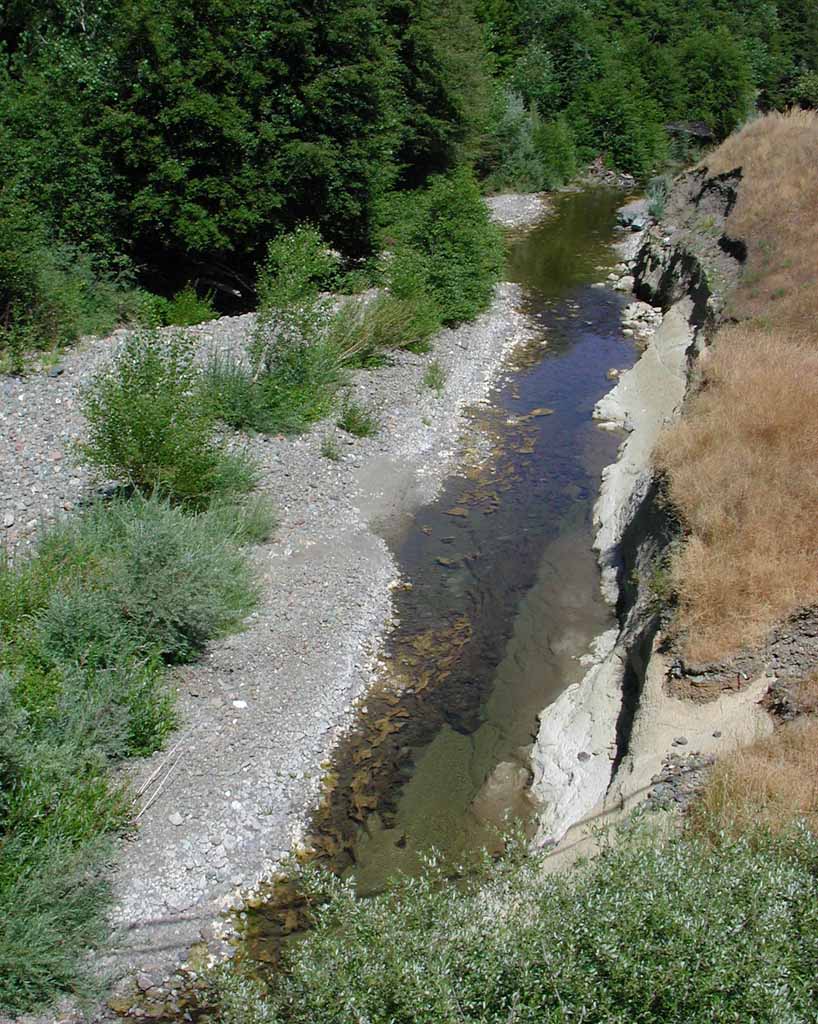
This photo of Forsythe Creek was taken looking downstream just below the frontage road east of Highway 101. The extensive exposure of clay bedrock substrate along the banks and the bottom of Forsythe Creek are indicative of major down-cutting. Gravel extraction in the mainstem Russian River down stream is recognized as the causal mechanism. See Picture #4 for drop structure installed to prevent damage to frontage road and U.S. 101. Picture taken by Patrick Higgins. July 13, 2003.
This closeup of the bottom of Forsythe Creek at the same location as Picture #1 shows extensive algae growth and exposed clay bedrock on the stream bed. Bedrock is much less productive aquatic habitat than a cobble and gravel matrix that can provide an environment for aquatic insects. Picture taken by Patrick Higgins. July 13, 2003.
This closeup shows rounded gravel embedded in the terrace of Forsythe Creek at right in a gray soil matrix. This likely represents the former base level of the stream before down-cutting. Picture taken by Patrick Higgins. July 13, 2003.
This drop structure just below the frontage road off Highway 101 was installed in Forsythe Creek to prevent headward erosion in response to down cutting. See the next photo for a zoom out on the same structure. Picture taken by Patrick Higgins. July 13, 2003.
The line of shade from the bridge exactly coincides with the teeth of the drop structure, which is a metal dam to prevent headward erosion related to down-cutting. Picture taken by Patrick Higgins. July 13, 2003.
This zoom in photo shows the stream bed of Forsythe Creek between Highway 101 and the frontage road just downstream. The stream is warm and shallow at this location. Picture taken by Patrick Higgins. July 13, 2003.
Looking upstream at where Highway 101 crosses Forsythe Creek. Picture taken by Patrick Higgins. July 13, 2003.
This photo is a zoomed in shot of Forsythe Creek immediately underneath Highway 101. Picture taken by Patrick Higgins. July 13, 2003.
 Click on image to enlarge (171K).
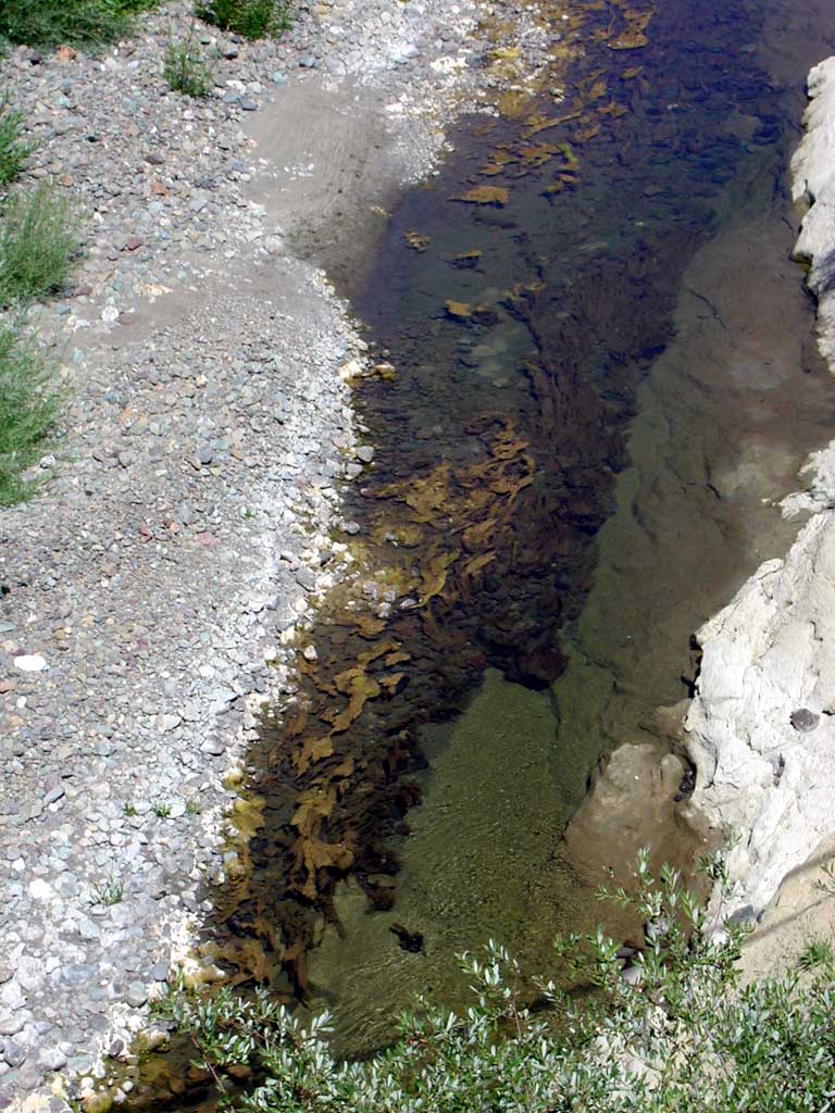 Click on image to enlarge (164K).
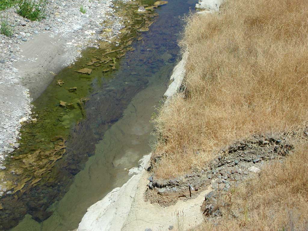 Click on image to enlarge (152K).
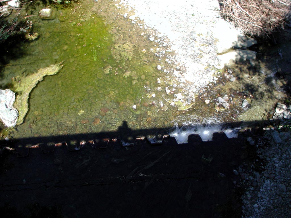 Click on image to enlarge (161K).
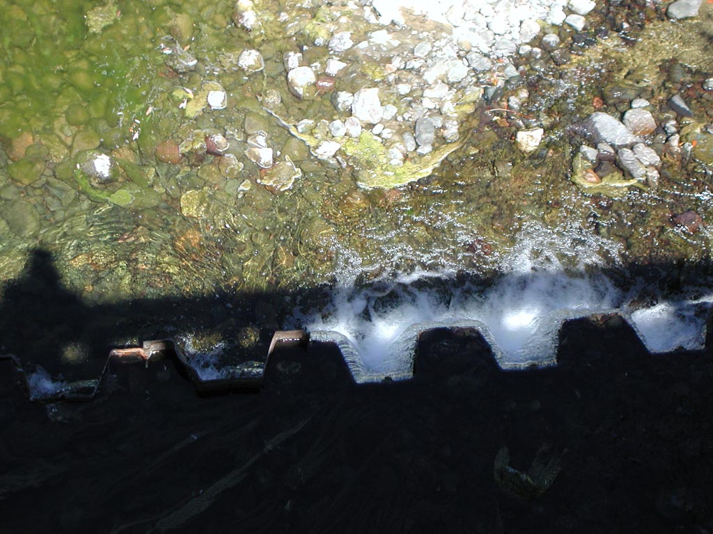 Click on image to enlarge (176K).
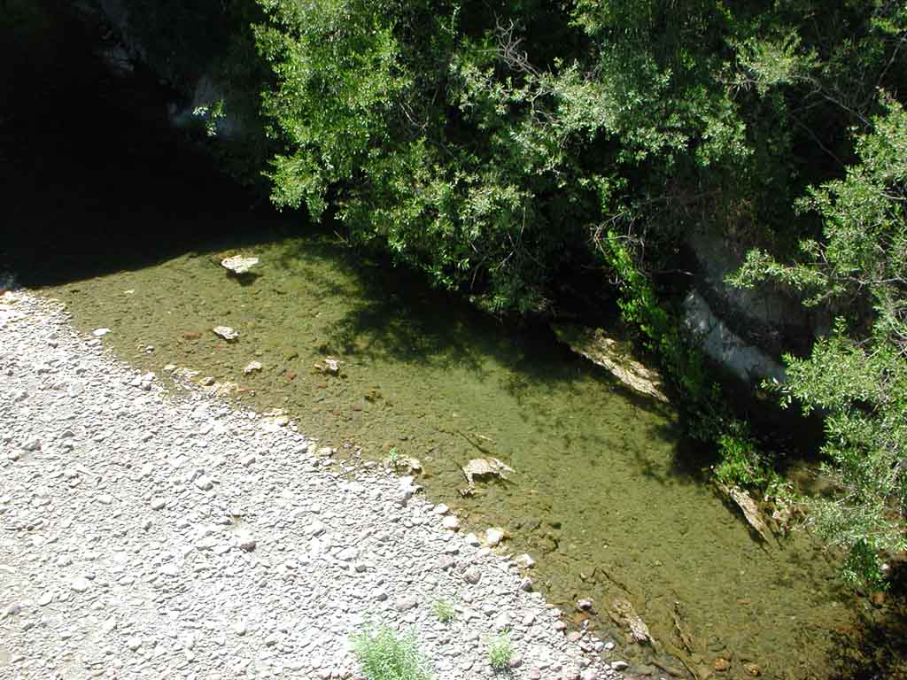 Click on image to enlarge (134K).
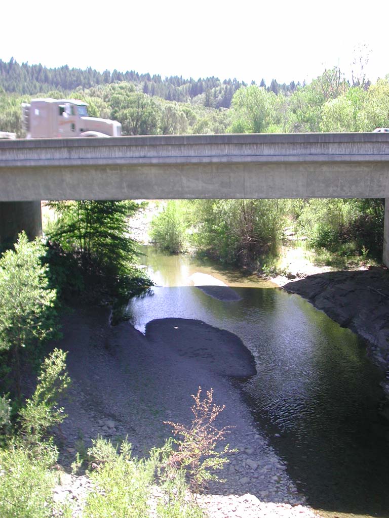 Click on image to enlarge (147K).
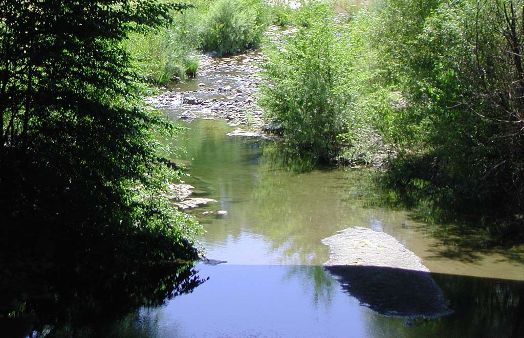 Click on image to enlarge (162K).
To learn more about this topic click Info Links
To view additional information (data source, aquisition date etc.) about this page, click Metadata
| www.krisweb.com |