
| Area | Forsythe Creek |
| Topic | Tour: Forsythe Creek Land Use and Watershed Conditions |
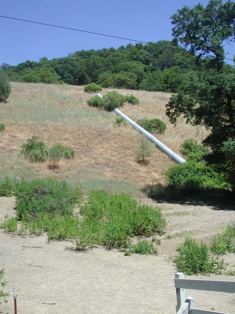
This photo shows the fill slope of Highway 101 just off Reeves canyon Road in the Forsythe Creek watershed. The pipe shunts drainage from the roadway. Sediment in the foreground of the photo appears to be erosional products from the fill slope, likely contributed before it became fully vegetated. Photo provided by Patrick Higgins. June 10, 2002.
This vertical photograph was taken at the same location as Picture #1 and shows sediment at the base of the Highway 101 fill slope, although there is no evident pathway to Forsythe Creek. Photo provided by Patrick Higgins. June 10, 2002.
This vineyard encroaches into the riparian zone of Forsythe Creek, just off Reeves Canyon Road. The decreased riparian reduces filter capacity and facilitates stream warming. Photo provided by Patrick Higgins. June 10, 2002.
This photo shows a flat terrace adjoined to the Forsythe Creek riparian zone, which is at left which is being used to run stock. Although this area might contribute fine sediment to Forsythe Creek, the immediate riparian zone at the far left of the terrace appears to have been planted with trees and mulched to prevent surface erosion. Photo provided by Patrick Higgins. June 10, 2002.
 Click on image to enlarge (166K).
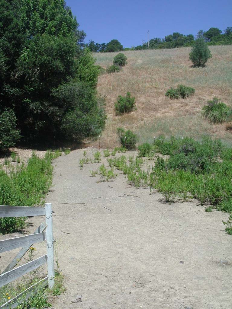 Click on image to enlarge (156K).
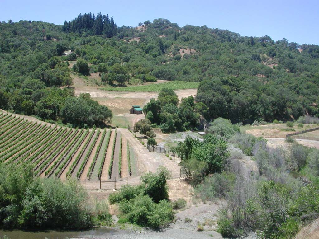 Click on image to enlarge (160K).
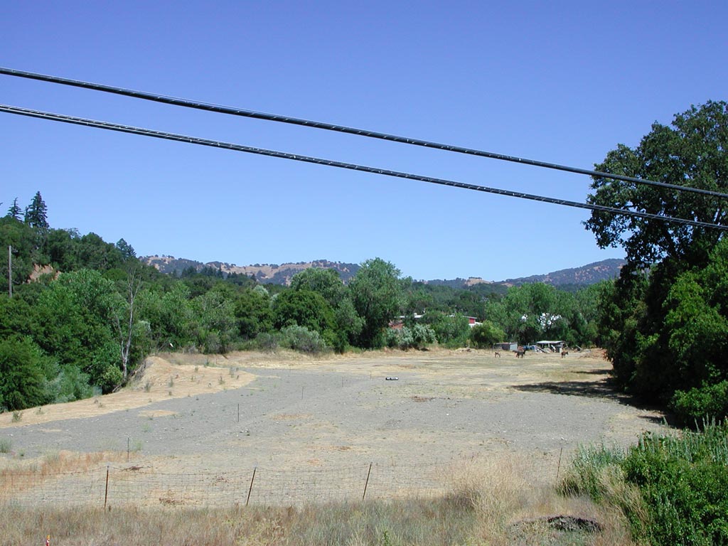 Click on image to enlarge (160K).
To learn more about this topic click Info Links
To view additional information (data source, aquisition date etc.) about this page, click Metadata
| www.krisweb.com |