
| Area | Forsythe Creek |
| Topic | Tour: Forsythe Creek, WF Trib and Mainstem WF Restoration Projects |
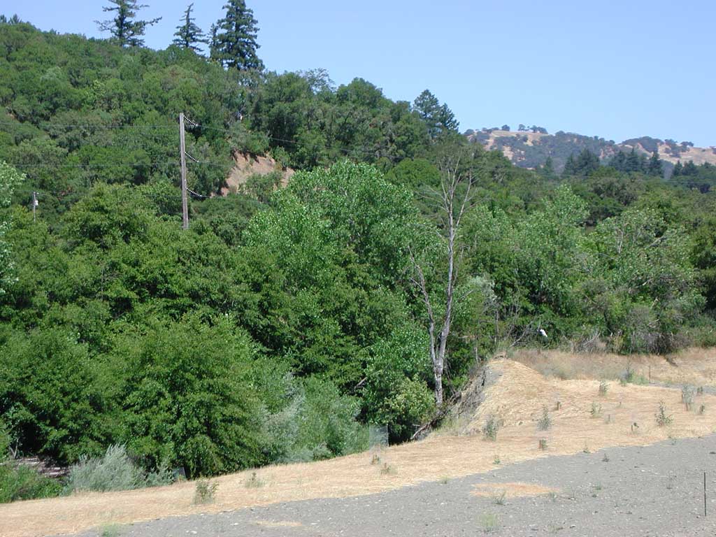
This photo shows mulching and evenly spaced trees that appear to be aimed at restoring the Forsythe Creek riparian zone. Forsythe Creek is barely visible at lower left. Photo by Patrick Higgins. July 13, 2003.
This photo shows an unnamed trib to the West Fork Russian River off Westside Road looking upstream. Note filter fabric in active channel which appears to be related to erosion control. The techniques applied here look non-standard. Photo by Patrick Higgins. July 13, 2003.
This photo is a zoom in on jute netting rolls in riparian zone of the same unnamed tributary of the WF Russian River as in Pictures #2 and #4. This material likely was used to cover a bare soil area to prevent surface erosion. Photo by Patrick Higgins. July 13, 2003.
Looking further upstream on unnamed trib 3 of the West Fork Russian River, erosion control activities are apparent on terrace at left because of jute netting and bales of straw. Photo by Patrick Higgins. July 13, 2003.
This photo shows the same location as Pictures #2-4 at the site of an erosion control project. If tree planting accompanied this activity, it shows no signs of success. Photo by Patrick Higgins. July 13, 2003.
This photo shows successful installation of willow baffles, which for the riparian vegetation lining the West Fork Russian River left bank looking downstream (south). The picture was taken form the East Side Road Bridge. Picture taken by Patrick Higgins. July 13, 2003.
Looking downstream at the dry bed of the West Fork Russian River off the Eastside Road Bridge. The riparian zone extending downstream in the center of the photo is as a result of a bioengineering project by Evan Engber. A defined riparian here may help the channel scour the channel. Picture taken by Patrick Higgins. July 13, 2003.
 Click on image to enlarge (162K).
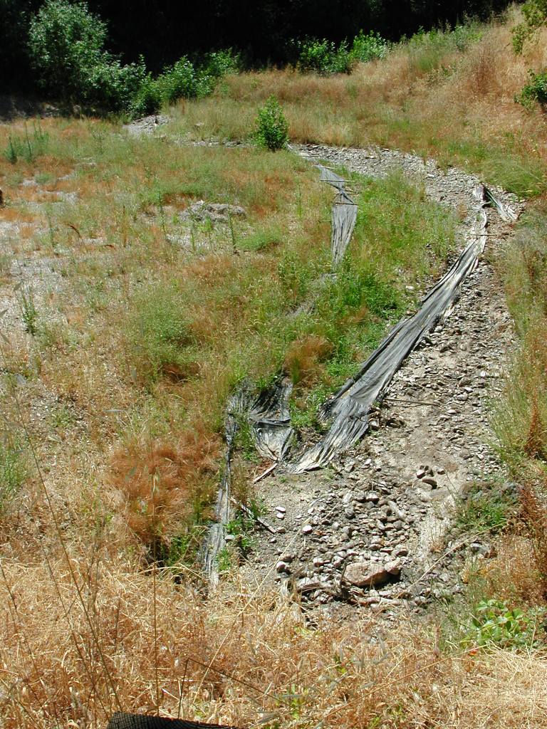 Click on image to enlarge (234K).
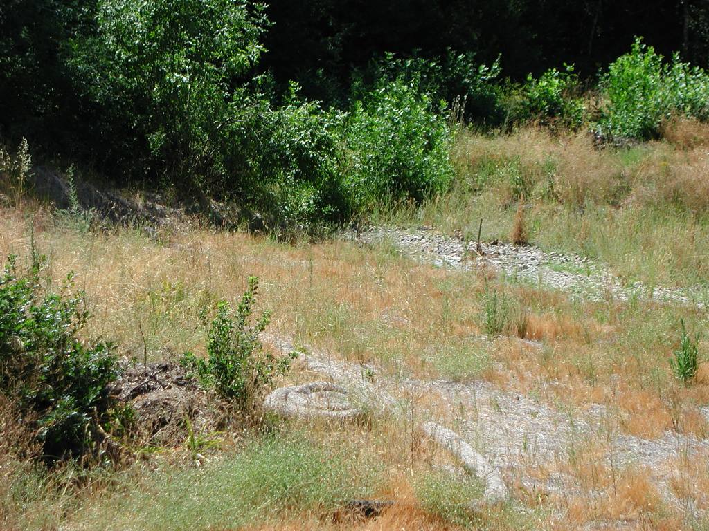 Click on image to enlarge (202K).
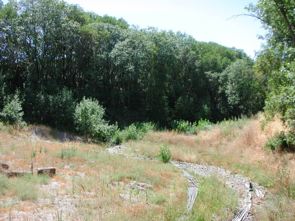 Click on image to enlarge (183K).
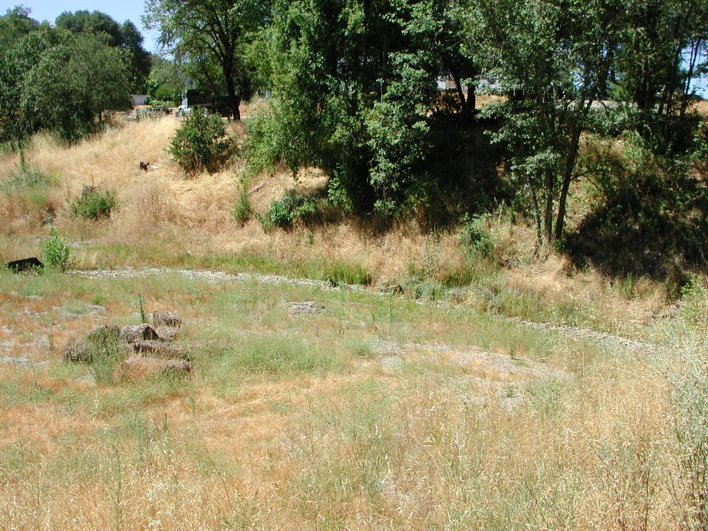 Click on image to enlarge (218K).
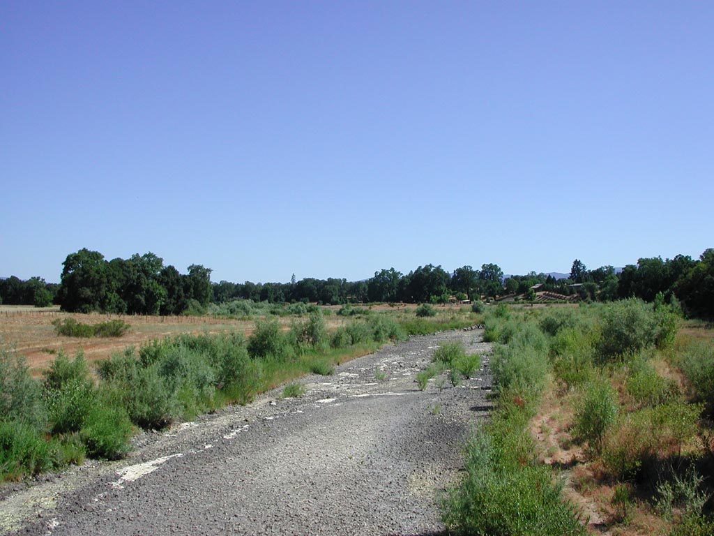 Click on image to enlarge (146K).
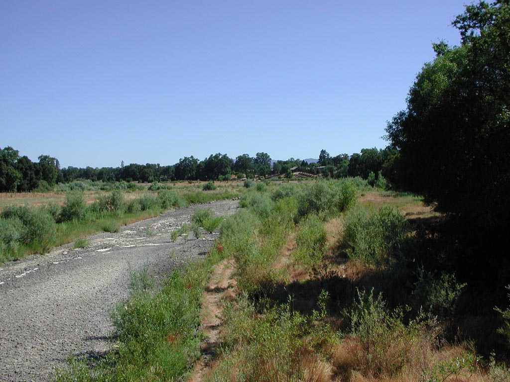 Click on image to enlarge (160K).
To learn more about this topic click Info Links
To view additional information (data source, aquisition date etc.) about this page, click Metadata
| www.krisweb.com |