
|
Area/Topic | Bibliography | Background | Hypotheses | Home |
|
Map Page.
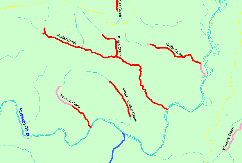
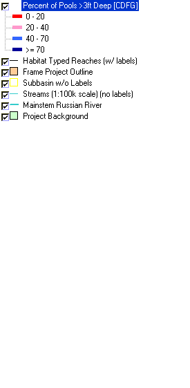
You selected the area Guerneville and the topic Habitat: Maximum Pool Depths in Northeast Guerneville Tribs 1995-2000 |
| The map shows the stream reaches surveyed during the California Department of Fish and Game habitat typing surveys in the northeast portion of the Guerneville sub-basin. Reaches are color-coded by the percent (by number) of pools with a maximum depth greater than 3 feet. | |||
|
|
||
| www.krisweb.com |