
| Area | Guerneville |
| Topic | Fish: Mirabel/Wohler - Overall CPUE 2001-2002 |
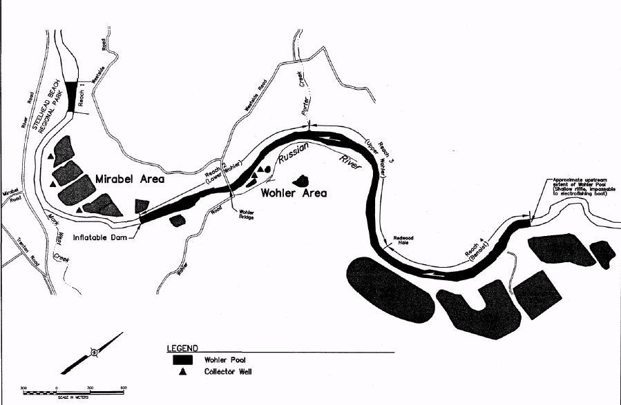
This map from the Sonoma County Water Agency shows the four electrofishing reaches in the Mirabel and Wohler Areas. Only Reach 1 at Steelhead Beach Regional Park is below the inflatable dam that contains Wohler Pool in summer. The upstream extent of Reach 4 is the upstream extent of Wohler Pool. Electrofishing does not extend upstream of this point because shallow water makes use the electrofishing boat impossible.
This photo shows the downstream end of Wohler pool and vegetation along the western bank. Note the line of buoys used to warn people of the dam immediately downstream. Photo provided by Sonoma County Water Agency.
This photo shows a section of Wohler pool. Note that riparian vegetation is found in the water along the banks of most of the pool due to elevated water levels. Photo provided by Sonoma County Water Agency.
This photo shows the Mirabel inflatable dam with no overflow. All passing flow at time of this photo is coming down the fish ladders beneath the dam. Photo provided by Sonoma County Water Agency.
 Click on image to enlarge (409K).
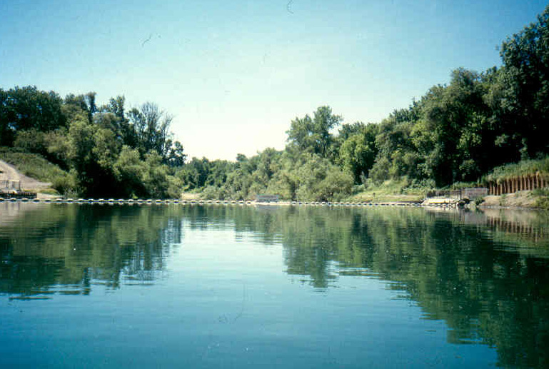 Click on image to enlarge (161K).
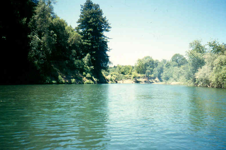 Click on image to enlarge (178K).
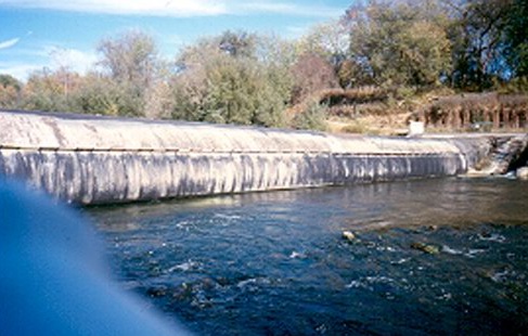 Click on image to enlarge (67K).
To learn more about this topic click Info Links
To view additional information (data source, aquisition date etc.) about this page, click Metadata
| www.krisweb.com |