
| Area | Guerneville |
| Topic | Tour: Erosion from Small Ranch Road in Dutch Bill Creek Watershed |
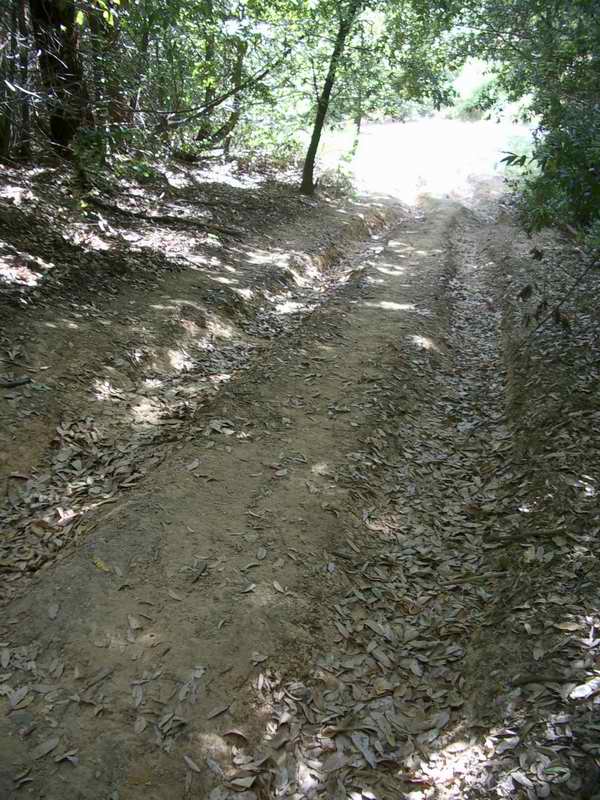
This photo shows the beginning of gully erosion on a small ranch road that cuts directly up a steep hill and has been used in the winter. Photo by Gary Reedy.
Approximately 100 feet downslope the water running down tire grooves has enough erosive power to carve this gully which is more than 2 feet deep. Photo by Gary Reedy.
The erosive power of water increases with steepness, slope length and volume of water. The amount of water trapped and channelized by the road upstream of this location becomes evident in this section of steeper gradient where the gullies are cut deep. Photo by Gary Reedy.
Erosion does not directly effect conditions for anadromous fish unless the sediment reaches the stream. Here it appears that sediment is settling out in a low gradient area. Closer examination reveals that only some water moves off the road at this location. Moreover, a separate gully begins under brush in the background and connects to Dutch Bill Creek. Photo by Gary Reedy.
This is a view of a gully resulting from where a road spills captured water onto an adjacent slope. Photo by Gary Reedy.
This photo shows where some of the sediment generated from the road erosion settles out or is conveyed through a culvert to Dutch Bill Creek. Photo by Gary Reedy.
 Click on image to enlarge (133K).
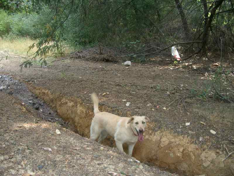 Click on image to enlarge (118K).
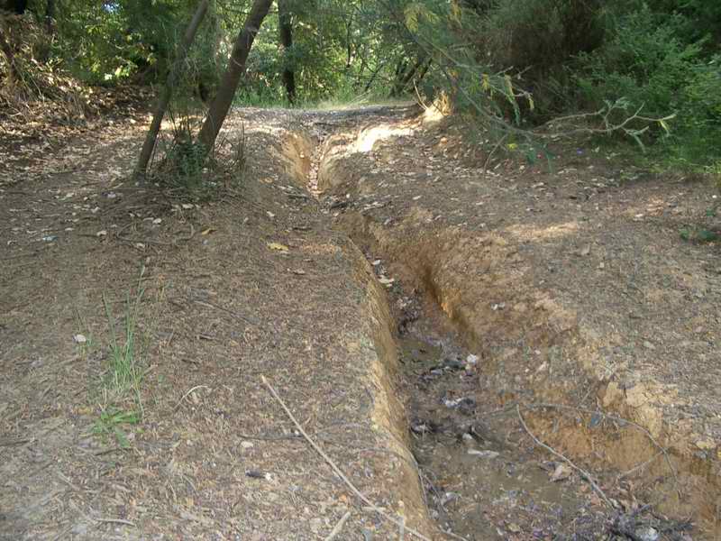 Click on image to enlarge (124K).
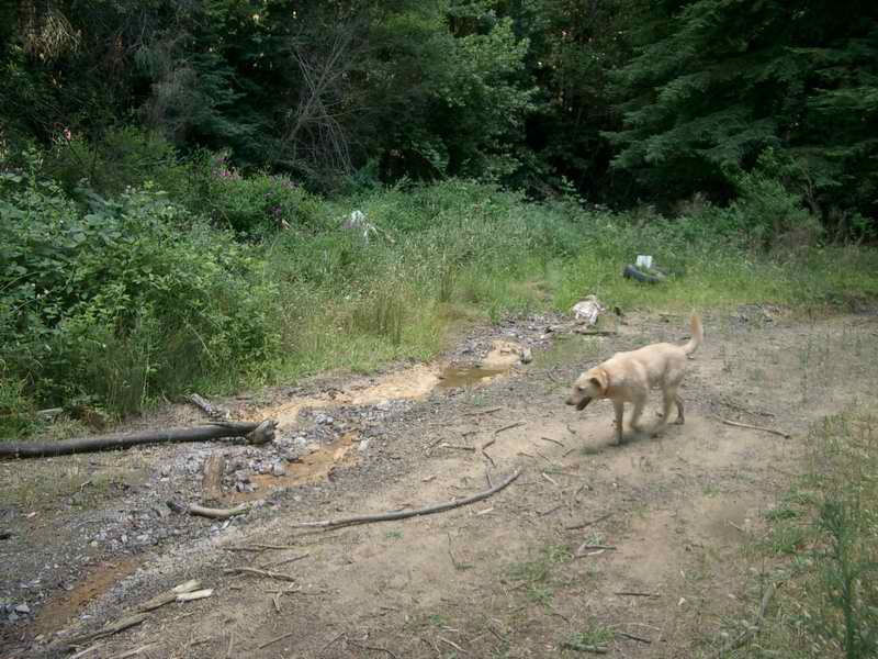 Click on image to enlarge (116K).
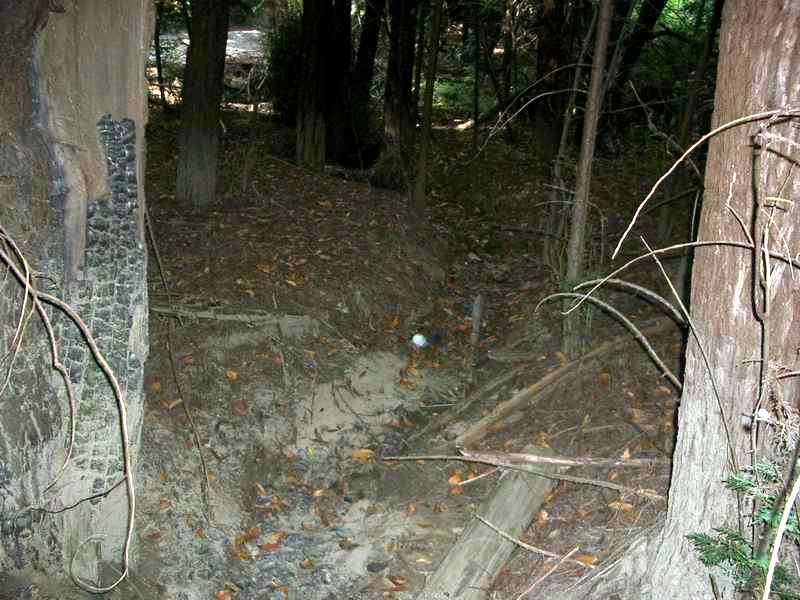 Click on image to enlarge (107K).
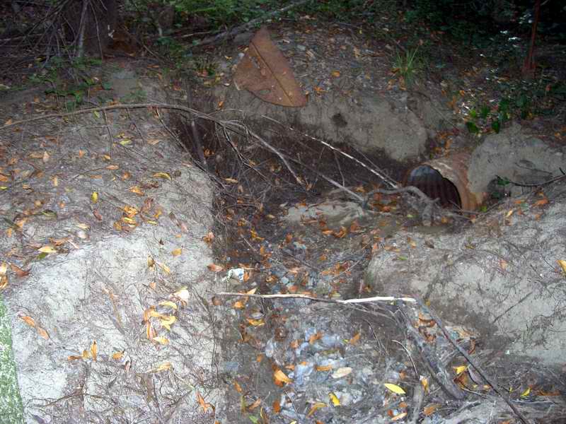 Click on image to enlarge (122K).
To learn more about this topic click Info Links
To view additional information (data source, aquisition date etc.) about this page, click Metadata
| www.krisweb.com |