
| Area | Guerneville |
| Topic | Tour: Lower Russian River Riparian 2002 |
This photo was taken looking downstream on the lower Russian River during low winter flow conditions from the bridge at Monte Rio. Photo by Patrick Higgins. 2002.
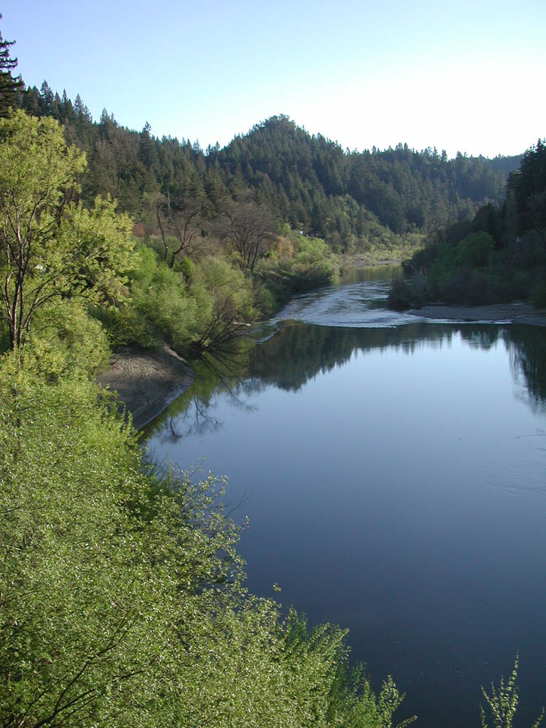
This photo shows a closeup of the Russian River at the same location as Picture #1. The Russian River swings west in this reach and enters a wetter climatic zone and a landscape with coniferous forests. Photo by Patrick Higgins. 2002.
This photo of the Russian River was taken from the Highway 116 Bridge in Monte Rio looking upstream. The immediate riparian zone next to the river is hardwoods, but conifers cover upland areas. Photo by Patrick Higgins. 2002.
This photo of Russian River Photo by Patrick Higgins. 2002.
Photo by Patrick Higgins. 2002.
Photo by Patrick Higgins. 2002.
 Click on image to enlarge (173K).
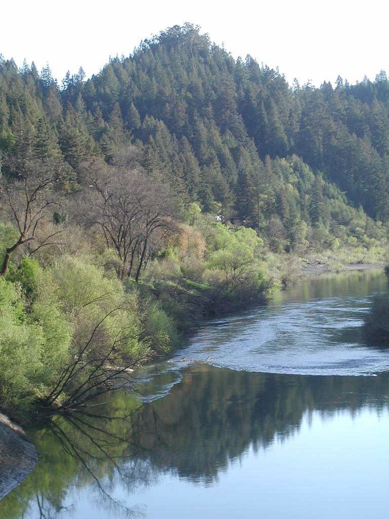 Click on image to enlarge (163K).
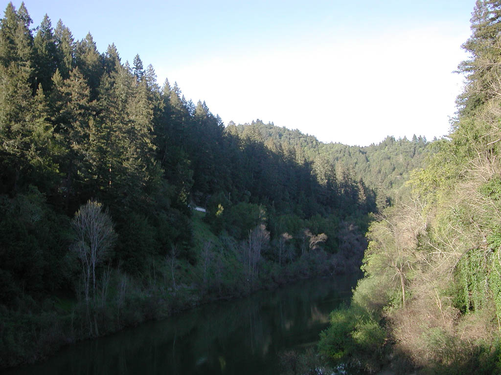 Click on image to enlarge (148K).
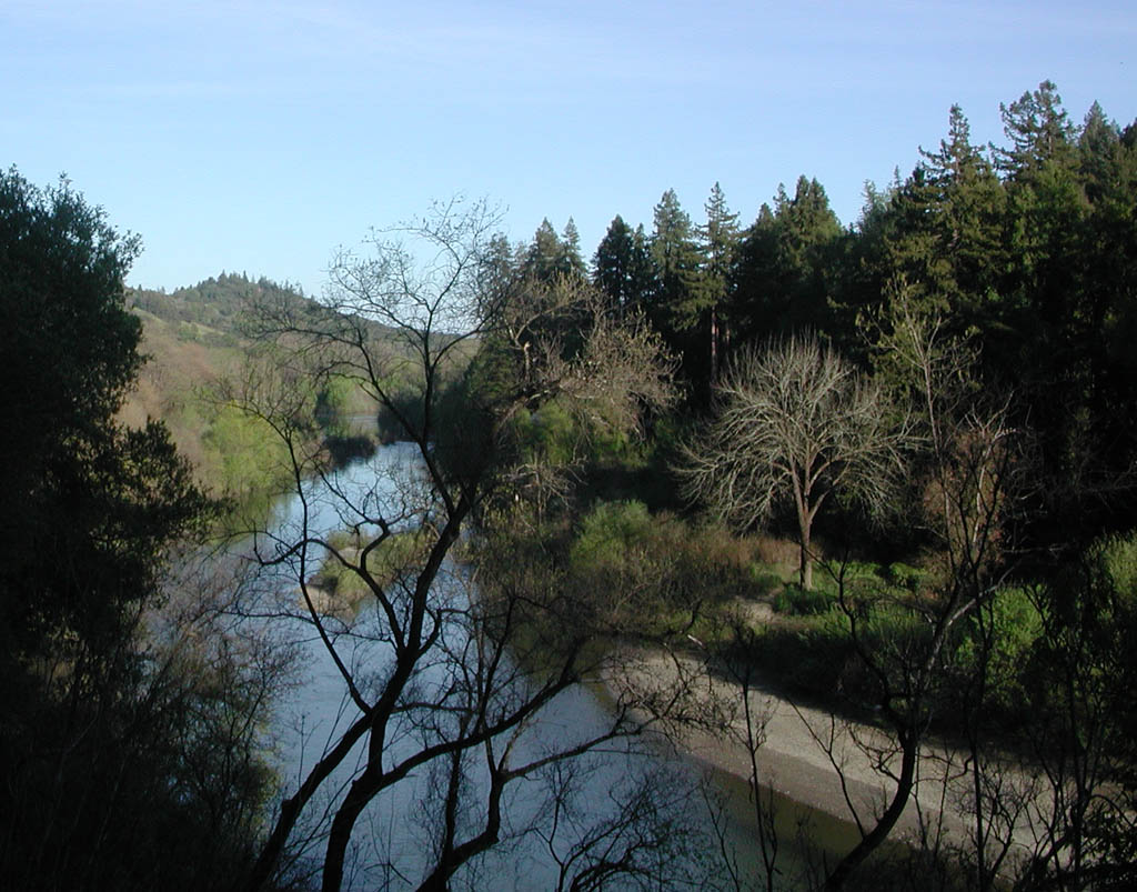 Click on image to enlarge (168K).
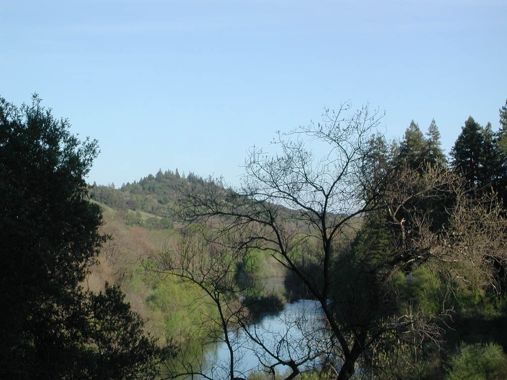 Click on image to enlarge (153K).
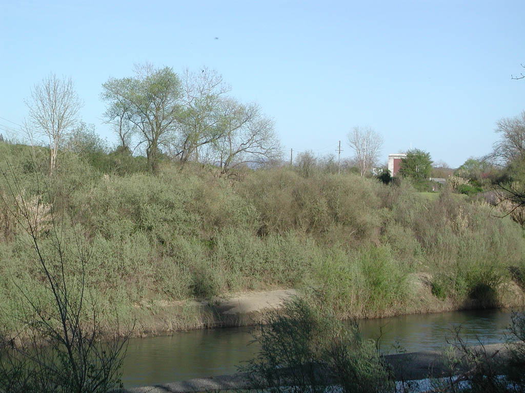 Click on image to enlarge (161K).
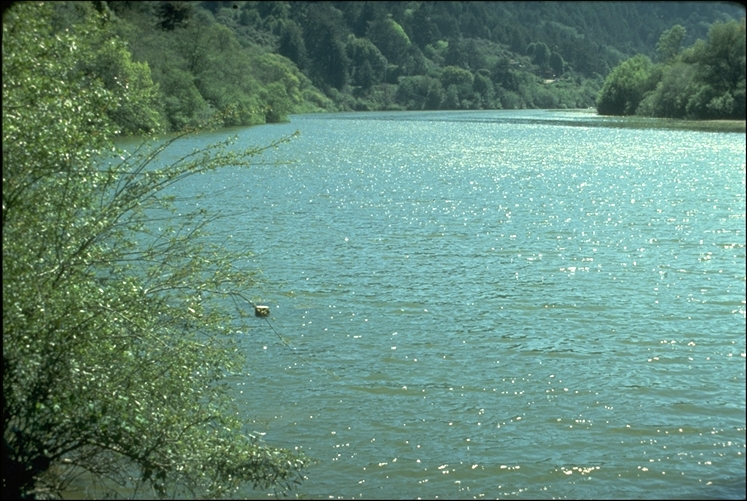 Click on image to enlarge (346K).
To learn more about this topic click Info Links
To view additional information (data source, aquisition date etc.) about this page, click Metadata
| www.krisweb.com |