|
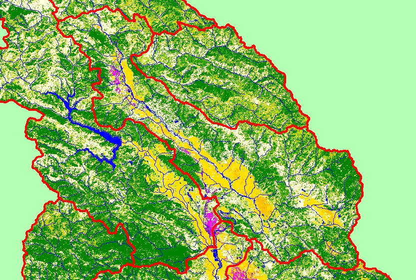
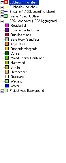
This is a map of EPA Landcover/Landuse in the Geyserville sub-basin, based on a 1992 Landsat TM satellite image. The residential (pink) and industrial (purple) in the
northern portion of the sub-basin is Cloverdale. Alexander Valley and Knights Valley are mostly covered in vineyards and other agriculture. The slopes above the
valleys are covered by a mix of conifers, hardwoods, grasslands, and herbaceous vegetation. Data were provided by the U.S. Environmental Protection Agency. Click
the check box next to the unaggregated EPA Landcover for more detailed analysis of land use types. Other available layers include Calwater Planning Watersheds,
Populated Places, Topo Maps, and 1:24,000 streams. Scale = 1:262,502 .
|
|