
| Area | Geyserville |
| Topic | Tour: Maacama, Redwood, Foote and LaFranchi Creek Photos |
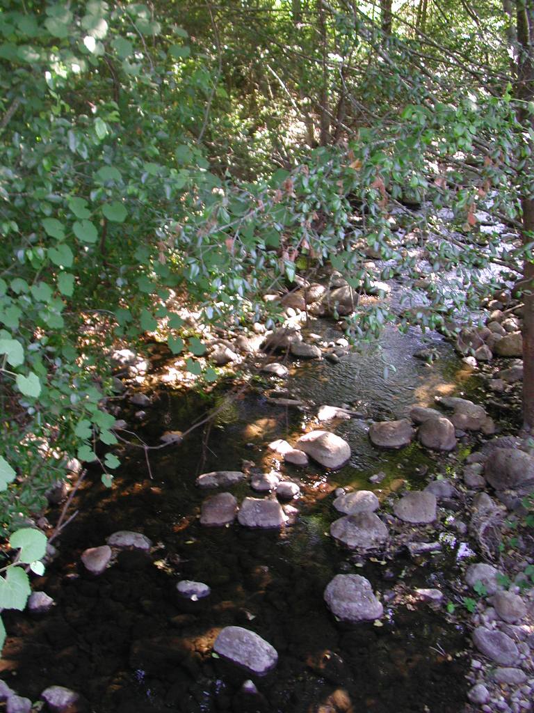
Redwood Creek is shown in this picture looking downstream off Highway 128. The stream still retains what appears to be sufficient flow for steelhead rearing. Cobble and gravel substrate suggest that the stream at this point is not over-supplied with sediment. Photo by Patrick Higgins. July 14, 2003.
This view of Redwood Creek is upstream of Highway 128. Pipe in the view is likely related to irrigation. Photo by Patrick Higgins. July 14, 2003.
This closeup of the stream bed of Redwood Creek shows very coarse substrate with boulders and cobbles predominant. Photo by Patrick Higgins. July 14, 2003.
This photo was taken immediately adjacent to the location of Picture #3 and shows the riparian vegetation on Redwood Creek and adjacent oak woodlands looking upstream. Photo by Patrick Higgins. July 14, 2003.
This is Foote Creek shown looking upstream off Highway 128. Horsetails growth is so thick that it is impossible to tell if there is flow. Photo by Patrick Higgins. July 14, 2003.
This photo shows an Foote Creek just upstream of Highway 128 where banks are rip-rapped and the access road to adjacent vineyards poses a risk of sediment pollution during winter rains because of lack of riparian filter capacity. Photo by Patrick Higgins. July 14, 2003.
The channel of LaFranchi Creek looking downstream (west) off Highway 128 shows a straightened channel with no riparian trees as a result of alteration for adjacent agricultural land use. Photo by Patrick Higgins. July 14, 2003.
This photo shows the riparian zone of LaFranchi looking upstream on the north side of the creek off Highway 128. Photo by Patrick Higgins. July 14, 2003.
 Click on image to enlarge (170K).
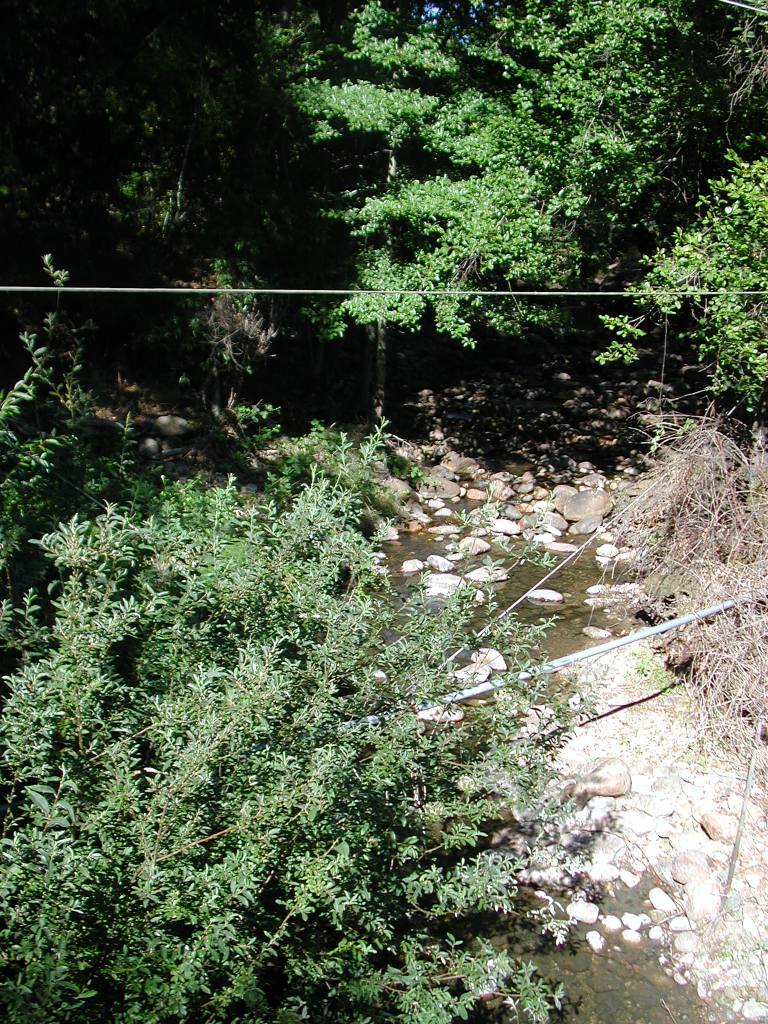 Click on image to enlarge (241K).
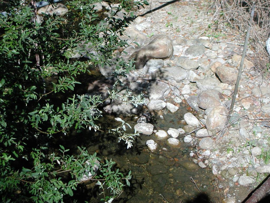 Click on image to enlarge (197K).
 Click on image to enlarge (248K).
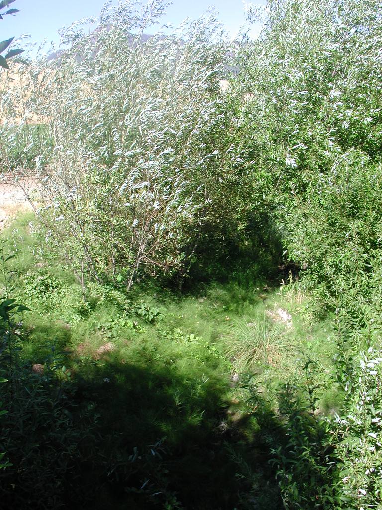 Click on image to enlarge (241K).
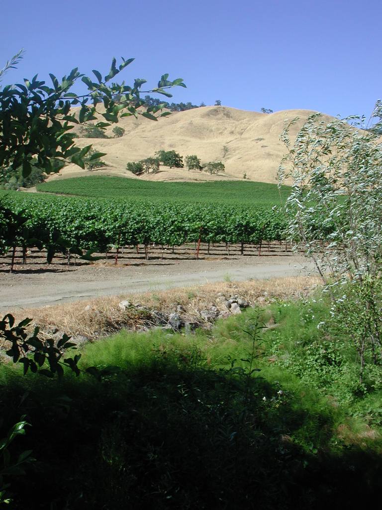 Click on image to enlarge (143K).
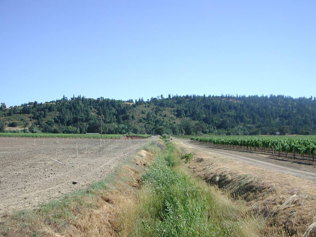 Click on image to enlarge (118K).
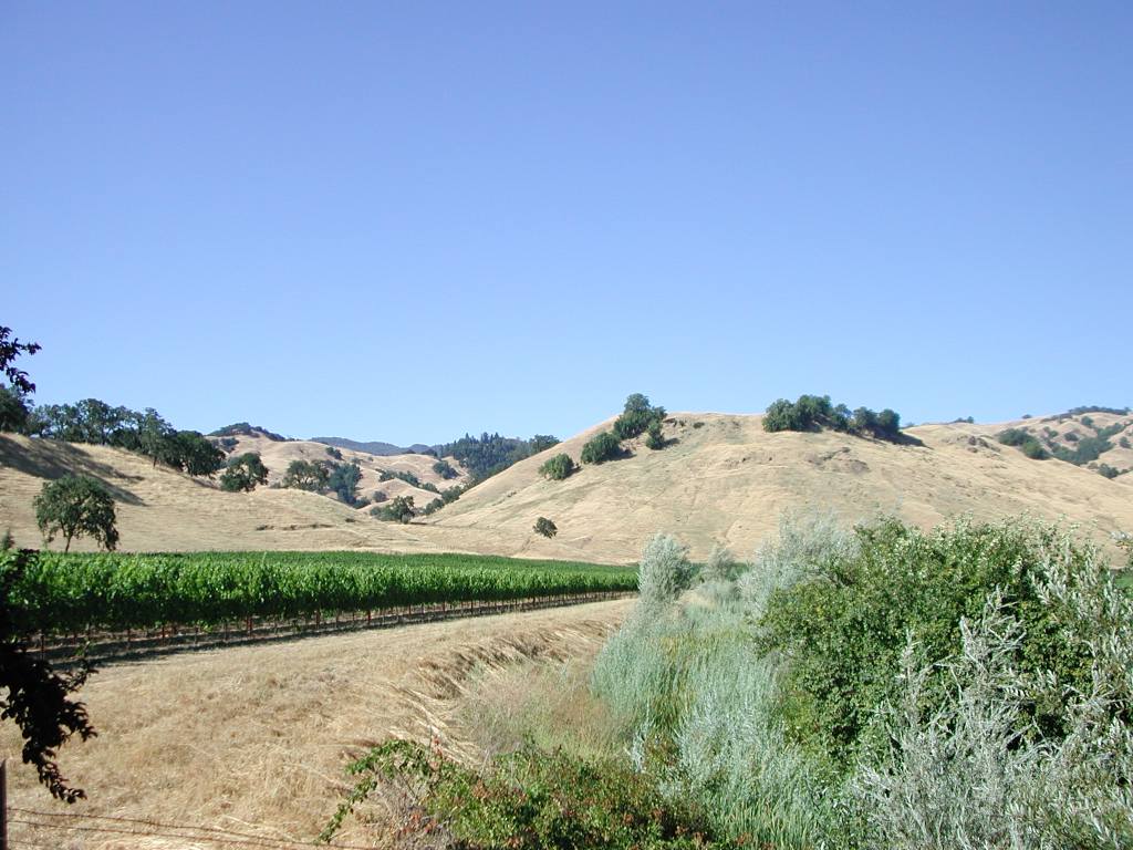 Click on image to enlarge (122K).
To learn more about this topic click Info Links
To view additional information (data source, aquisition date etc.) about this page, click Metadata
| www.krisweb.com |