
| Area | Geyserville |
| Topic | Tour: Russian River, Mainstem Photos nr Cloverdale/Comminsky Station |
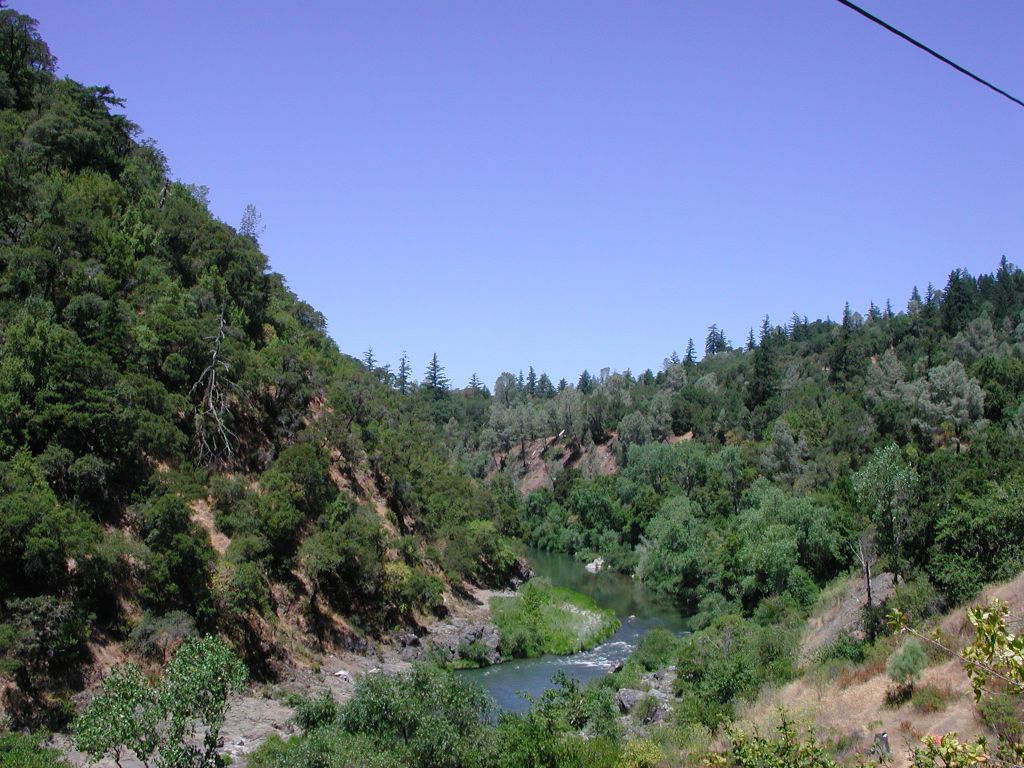
This photo shows the Russian River in the canyon above Cloverdale. Oaks and conifers cover the slopes. Photo by Patrick Higgins. July 15, 2003.
This photo shows a zoom in on the riparian zone of the Russian River at the same location as Picture #1. Photo by Patrick Higgins. July 14, 2003.
This photo was taken at the same locations as Pictures #1 and #2, but looking downstream. The area in the foreground is slightly down slope from old Highway 101, but the brown road cut in the distance gives an indication of where the new highway now runs to the west of the river. Photo by Patrick Higgins. July 15, 2003.
This photo was taken looking downstream on the Russian River from old Highway 101. Part of the new highway is shows as a cement causeway and the huge cutslope above in the upper right of the photo. Photo by Patrick Higgins. July 15, 2003.
This photo was taken looking downstream of the Russian River and shows both the new Highway 101 by pass and the railroad, which is the terrace immediately above the river. Photo by Patrick Higgins. July 15, 2003.
This photo of the mainstem Russian River was taken looking upstream near Comminsky Station. Oaks and grasslands cover the uplands. Photo by Patrick Higgins. July 14, 2003.
This view is downstream of the Russian River at the same location as Picture #6 and #8. Photo by Patrick Higgins. July 15, 2003.
The Russian River is shown here in a side view near Comminsky Station, looking across at the convergence of Edwards Creek, which was dry by the time this photo was taken. Photo by Patrick Higgins. July 15, 2003.
 Click on image to enlarge (166K).
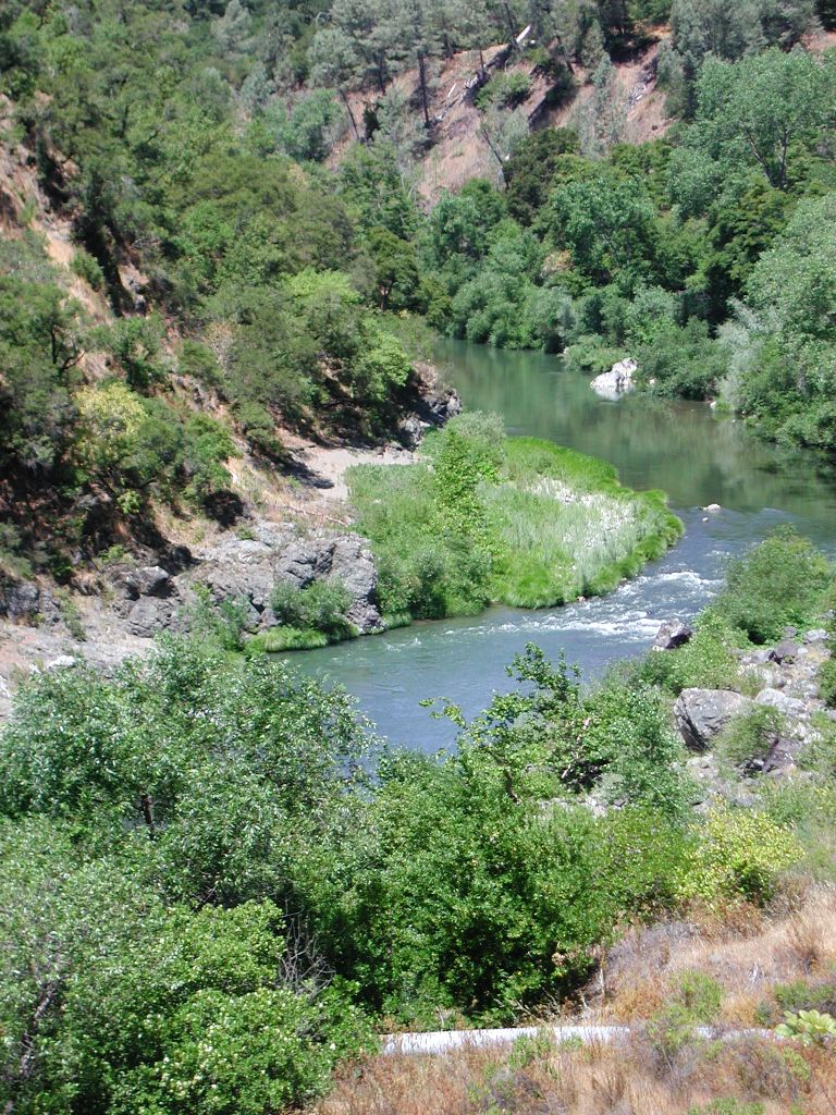 Click on image to enlarge (272K).
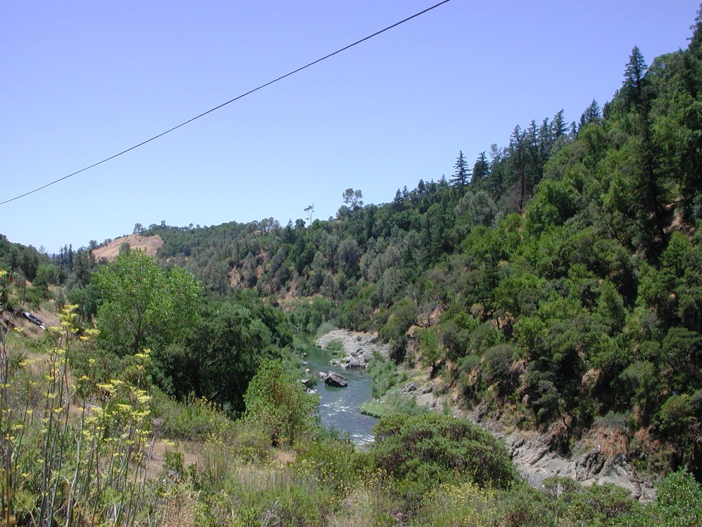 Click on image to enlarge (183K).
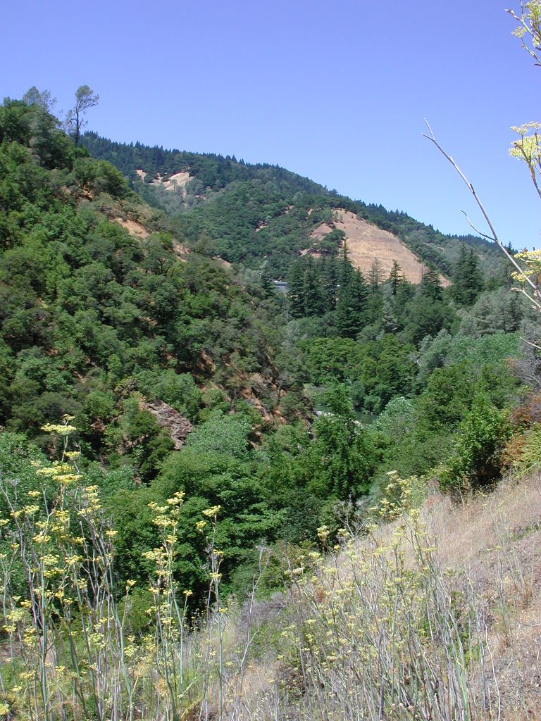 Click on image to enlarge (228K).
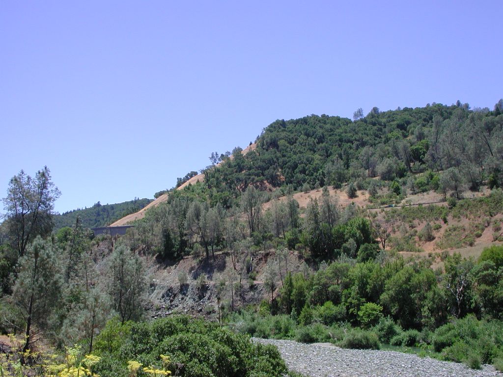 Click on image to enlarge (162K).
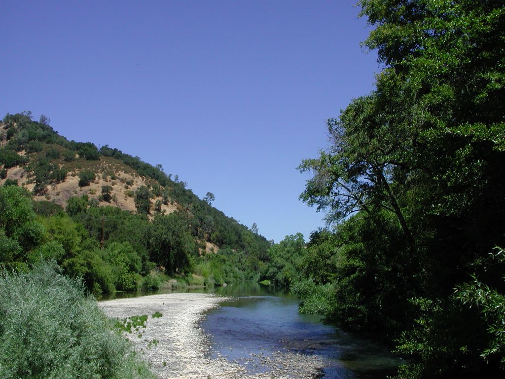 Click on image to enlarge (163K).
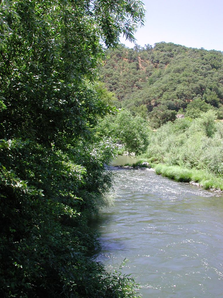 Click on image to enlarge (237K).
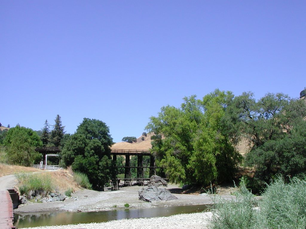 Click on image to enlarge (146K).
To learn more about this topic click Info Links
To view additional information (data source, aquisition date etc.) about this page, click Metadata
| www.krisweb.com |