
| Area | Geyserville |
| Topic | Tour: Maacama Creek Land Use Photos |
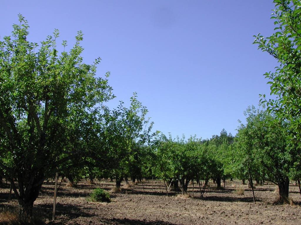
This photograph of an orchard was taken adjacent to Franz Valley School Road illustrating that part of the Franz Creek watershed is in orchards. Photo by Patrick Higgins. July 14, 2003.
Franz Valley is also experiencing some rural suburban development as illustrated by this large house built on a hillside off Franz Valley School Road in what was formerly wild lands. Photo by Patrick Higgins. July 14, 2003.
This photo was taken looking east off Franz Valley Road, after leaving Franz Valley School Road. Franz Creek is running through the photo beyond the yellowish out building. The low divide in the Mayacamas Mountains in middle distance in the photo defines the boundary of Franz Creek and a higher ridge looms in the distance. The orchards in the foreground do not appear to be closely encroaching on Franz Creek's riparian zone. Photo by Patrick Higgins. July 14, 2003.
Very large impoundment adjacent to vineyards to the north off Franz Valley Road not far from Highway 128. Photo courtesy of Pat Higgins. July 14, 2003.
This photo, taken looking west off Highway 128 west of Franz Valley Road, shows vineyards being watered with overhead sprinklers, which is a less conservative method of irrigation than drip. Native oak woodlands and grasslands cover the uplands. Photo by Patrick Higgins. July 14, 2003.
Trout farm in uplands of Kellogg Creek. Transmission of fish diseases from hatcheries or trout farms to wild populations is a potential side effect, although fish health problems can usually be controlled. Photo by Patrick Higgins. July 14, 2003.
This photo was taken looking upstream (east) off Highway 128 and shows the altered riparian zone of LaFranchi Creek with adjacent vineyards. Native grasslands are dotted with oaks on the hillsides in the background. Photo by Patrick Higgins. July 14, 2003.
Looking west from the Maacamas Creek Bridge, vineyards in the near ground give way to the oak riparian zone of the creek. Photo by Patrick Higgins. July 14, 2003.
 Click on image to enlarge (163K).
 Click on image to enlarge (155K).
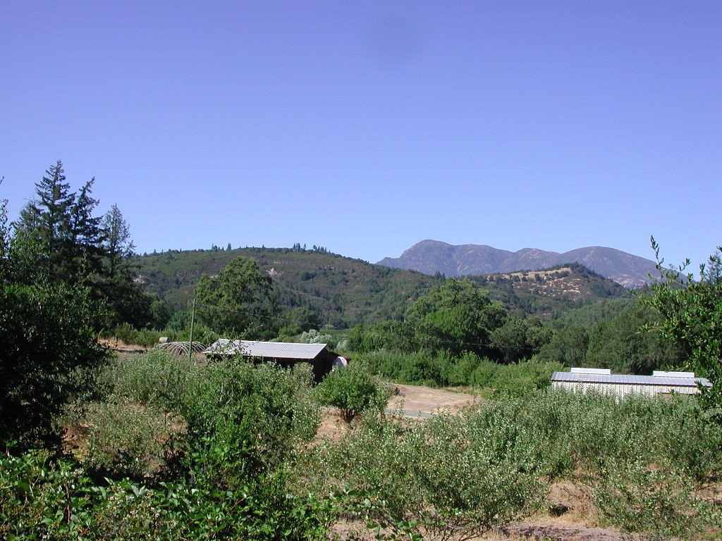 Click on image to enlarge (287K).
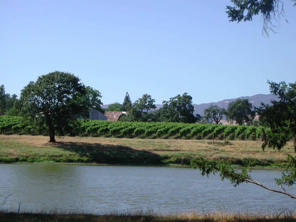 Click on image to enlarge (100K).
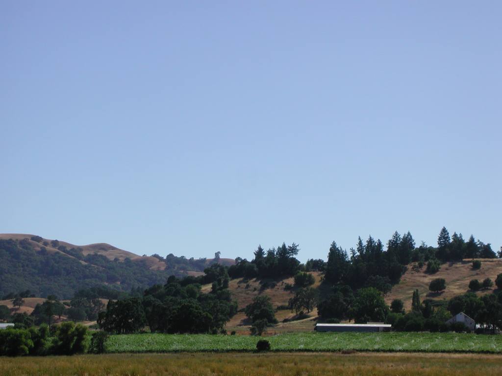 Click on image to enlarge (50K).
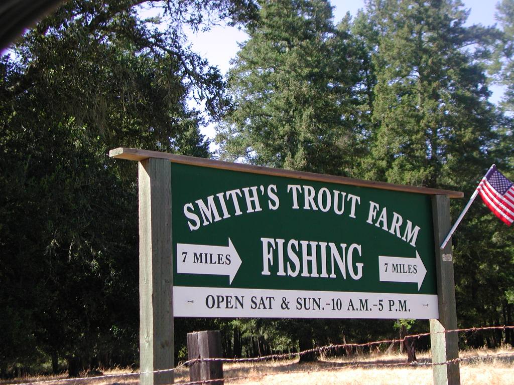 Click on image to enlarge (170K).
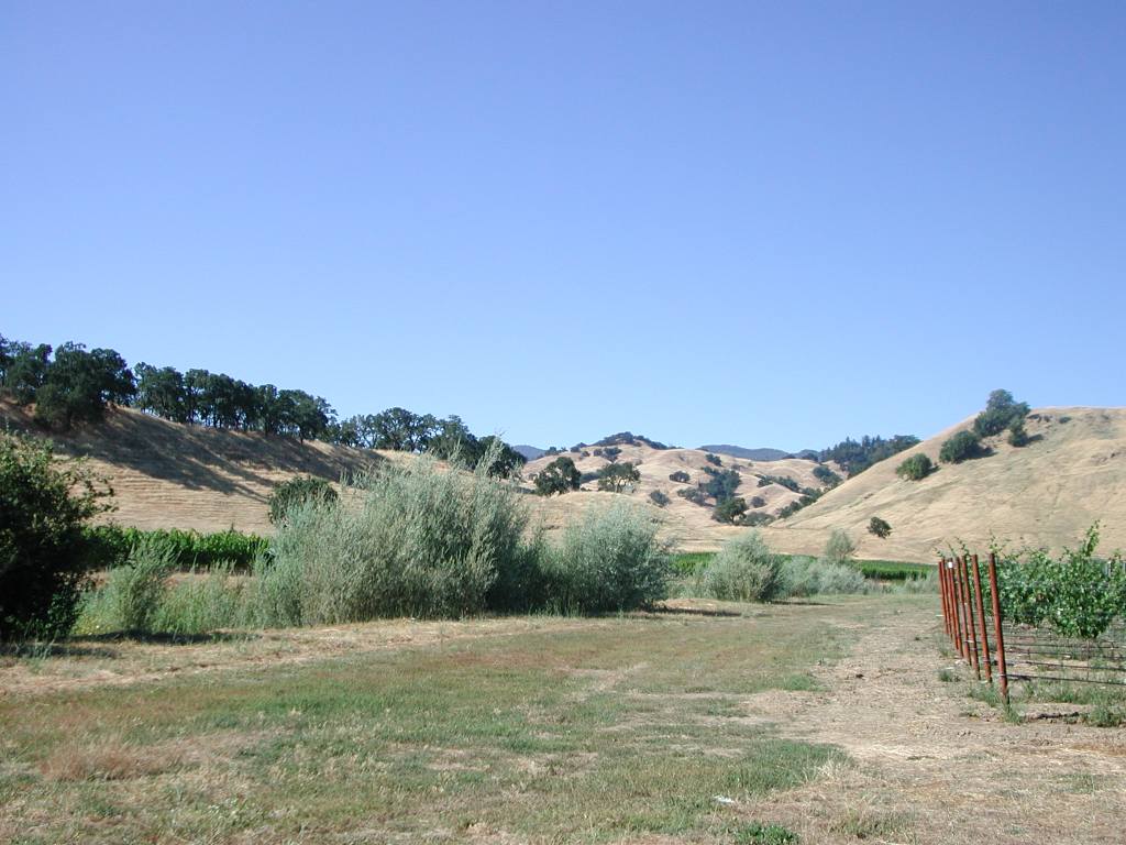 Click on image to enlarge (105K).
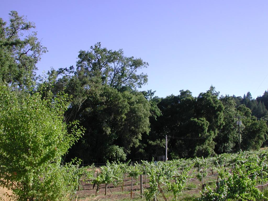 Click on image to enlarge (169K).
To learn more about this topic click Info Links
To view additional information (data source, aquisition date etc.) about this page, click Metadata
| www.krisweb.com |