|
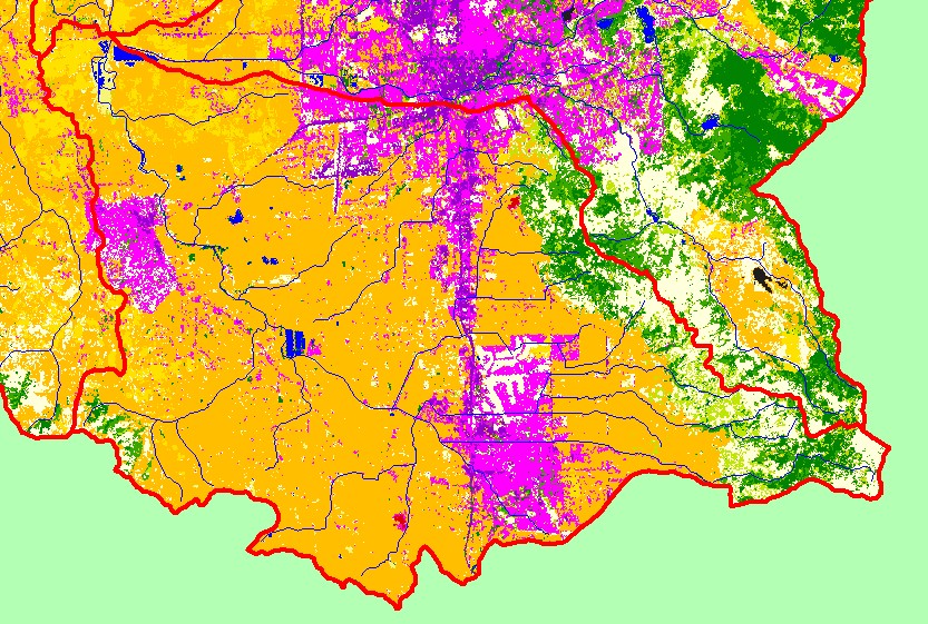
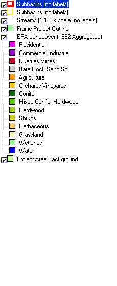
This is a map of EPA Landcover/Landuse in the Laguna sub-basin, based on a 1992 Landsat TM satellite image. There is extensive residential (pink) and industrial
(purple) development in four areas of the sub-basin: in Sebastapol at the western edge, in Rohnert Park and Cotati at the south-central edge, and in Santa Rosa at the
north-central edge, and the highway 101 corridor between Rohnert Park and Santa Rosa. Except for area that have been developed, most of the flat areas are covered
in vineyards and other agriculture. The eastern edge of the sub-basin contains a mix of conifers, hardwoods, grasslands, and herbaceous vegetation. Although reduced
in size from their historical extent, there are still wetlands at the northeast corner of the sub-basin. The wetlands are mostly seasonal, and do not appear in this map.
Data were provided by the U.S. Environmental Protection Agency.
|
|