
|
Area/Topic | Bibliography | Background | Hypotheses | Home |
|
Map Page.
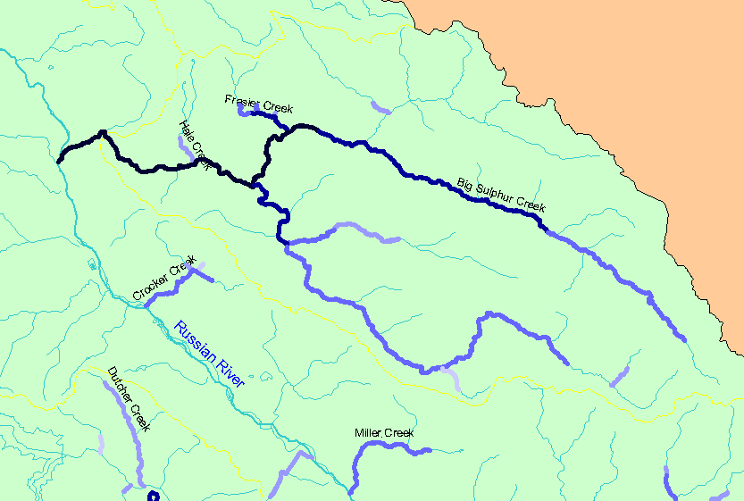
You selected the area Sulphur Creek and the topic Habitat: Survey Reach Length in Big Sulphur and Small Tribs 1999-00 |
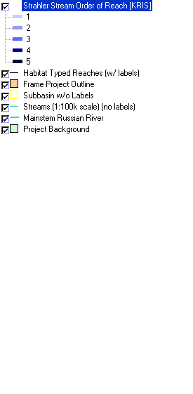
| The map shows the Strahler stream orders for stream reaches surveyed during the California Department of Fish and Game habitat typing surveys in Big Sulphur Creek and its small tributaries. Strahler stream orders were determined by IFR-KRIS using the California Department of Forestry's 1:24,000 scale GIS layer. Click the check box next to a layer to toggle it on/off. Other available layers include other habitat survey data, Grayscale Hillshade, and Topographic Map. Scale = 1:127,473 . | |||
|
|
||
| www.krisweb.com |