|
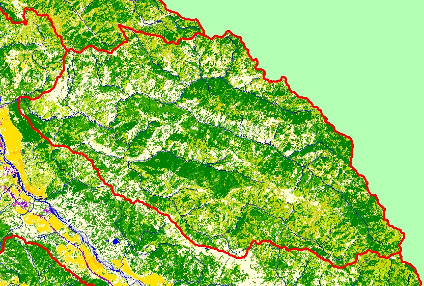
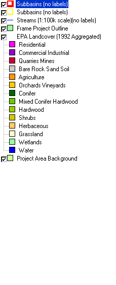
This is a map of EPA Landcover/Landuse in the Sulphur Creek sub-basin, based on a 1992 Landsat TM satellite image. Conifers cover many of the north-facing slopes.
The rest of the sub-basin is a mix of conifers, hardwoods, grasslands, and herbaceous vegetation. Grazing is the only significant agricultural activity in the sub-basin.
Although there is almost no residential development in the sub-basin, one of the major human land-uses in upper Big Sulphur and Squaw Creeks is the Geysers
geothermal field. Data were provided by the U.S. Environmental Protection Agency.
|
|