
| Area | Sulphur Creek |
| Topic | Tour: Big Sulphur Creek Stream Photos off Geysers Rd. (lower) #2 |
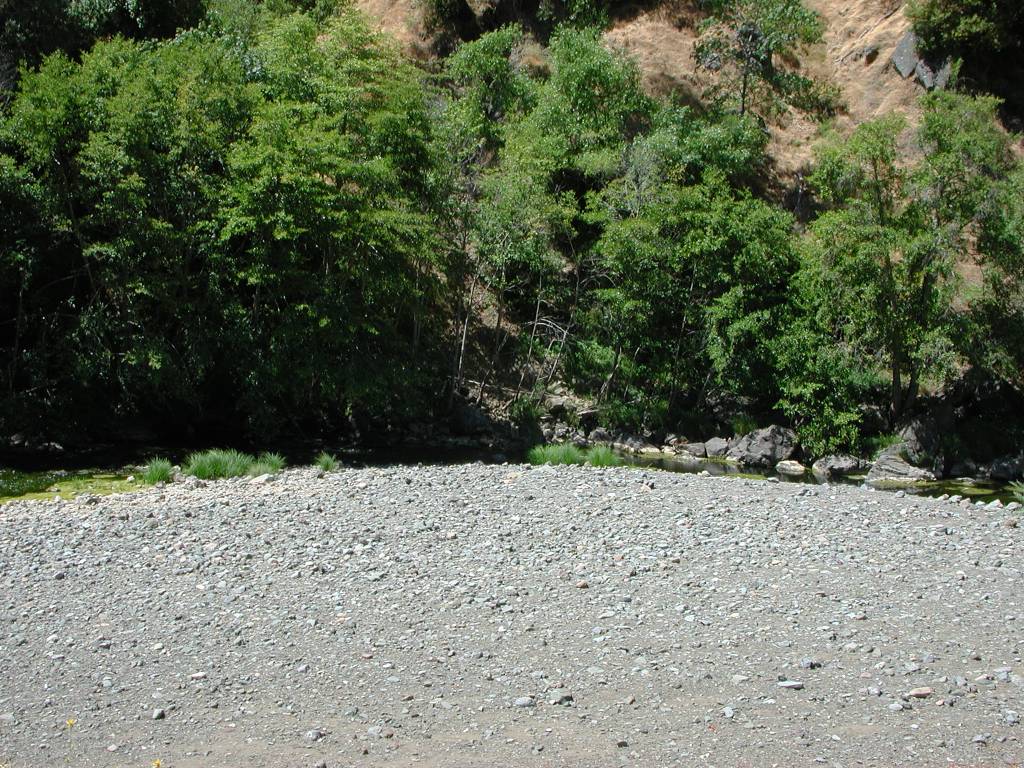
Big Sulphur Creek's active channel is the narrow band on the far side, but the broad gravel terrace in the foreground indicates major bedload movement under high flow conditions. Photo taken by Patrick Higgins on July 15, 2003.
The reach of Big Sulphur Creek shown here is confined (B2 Rosgen). The vegetation is oak forest on the shaded slope at left, but grasslands share the sun-facing slope with oaks at right. Photo taken by Patrick Higgins on July 15, 2003.
This photo was taken looking downstream on Big Sulphur Creek off the Geysers Road and shows a shallow, open stream very subject to warming. Photo taken by Patrick Higgins on July 15, 2003.
This photo of Big Sulphur Creek shows a very low gradient channel as the stream makes a transition from a transport reach (confined, steep channel) above to a response reach here. The wide channel suggests high sediment supply and active bedload transport. Photo taken by Patrick Higgins on July 15, 2003.
This photo was taken looking downstream on Big Sulphur Creek off the Geysers Road. The creek here is wide and open and very subject to warming. The lack of a better developed riparian community suggests that bedload transport may be very active here during high flows. Photo taken by Patrick Higgins on July 15, 2003.
Looking downstream at Big Sulphur Creek off Geysers Road, one notices large boulders strewn throughout the stream bed here. The hillslopes above have the foot print of large earthflows. As the slides deliver material to the creek over the millennia, like a giant conveyor belt, the large boulders remain after all the soil and smaller rocks have washed away. Photo taken by Patrick Higgins on July 15, 2003.
This photo shows Big Sulphur Creek looking downstream off the Geysers Road. The sharp bend in the creek focuses all the streams energy on the adjacent hillslope and has triggered a stream side landslide. These features are very common on Big Sulphur Creek and deliver huge amounts of sediment when failures occur. Photo taken by Patrick Higgins on July 15, 2003.
Looking downstream on Big Sulphur Creek in its lower reaches along the Geysers Road where the stream goes through a short, but narrow gorge. Photo taken by Patrick Higgins on July 15, 2003.
 Click on image to enlarge (219K).
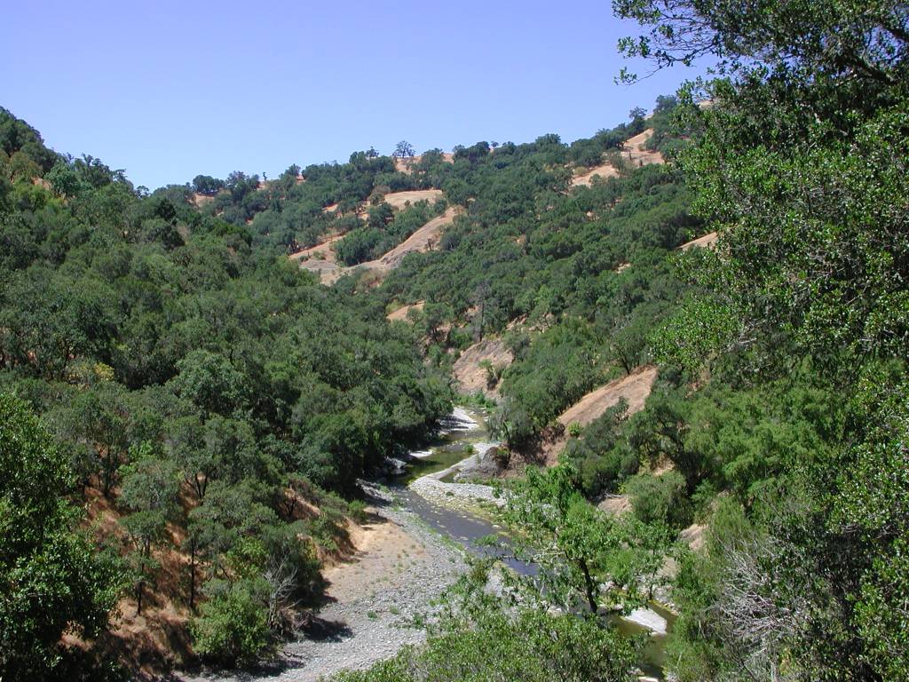 Click on image to enlarge (193K).
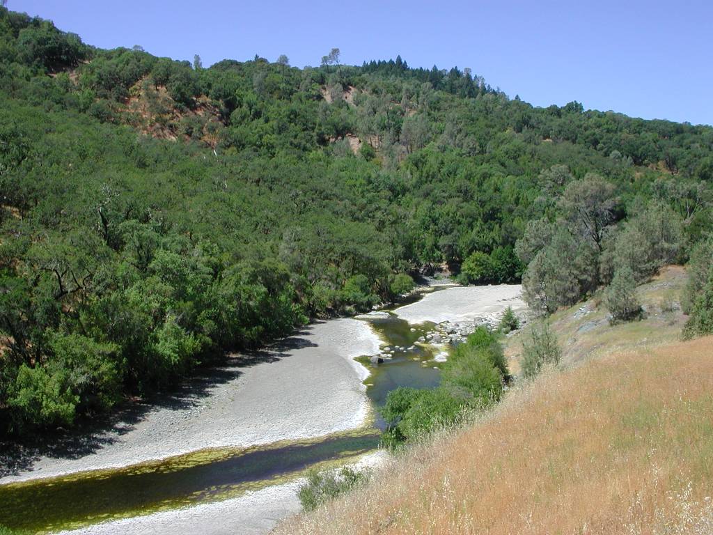 Click on image to enlarge (148K).
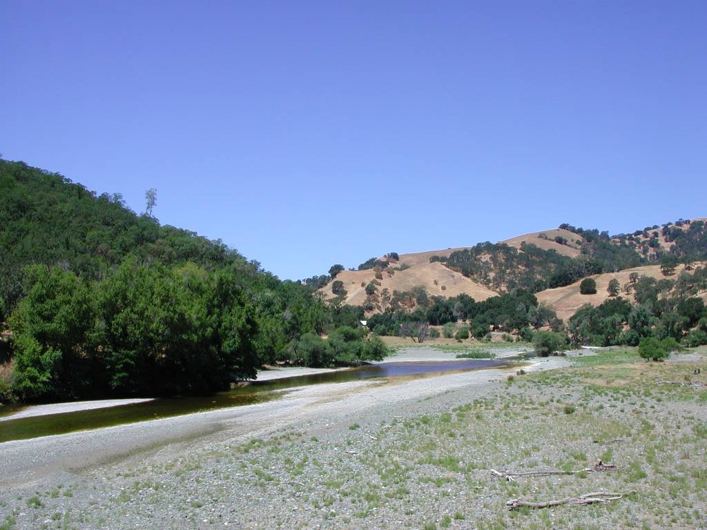 Click on image to enlarge (106K).
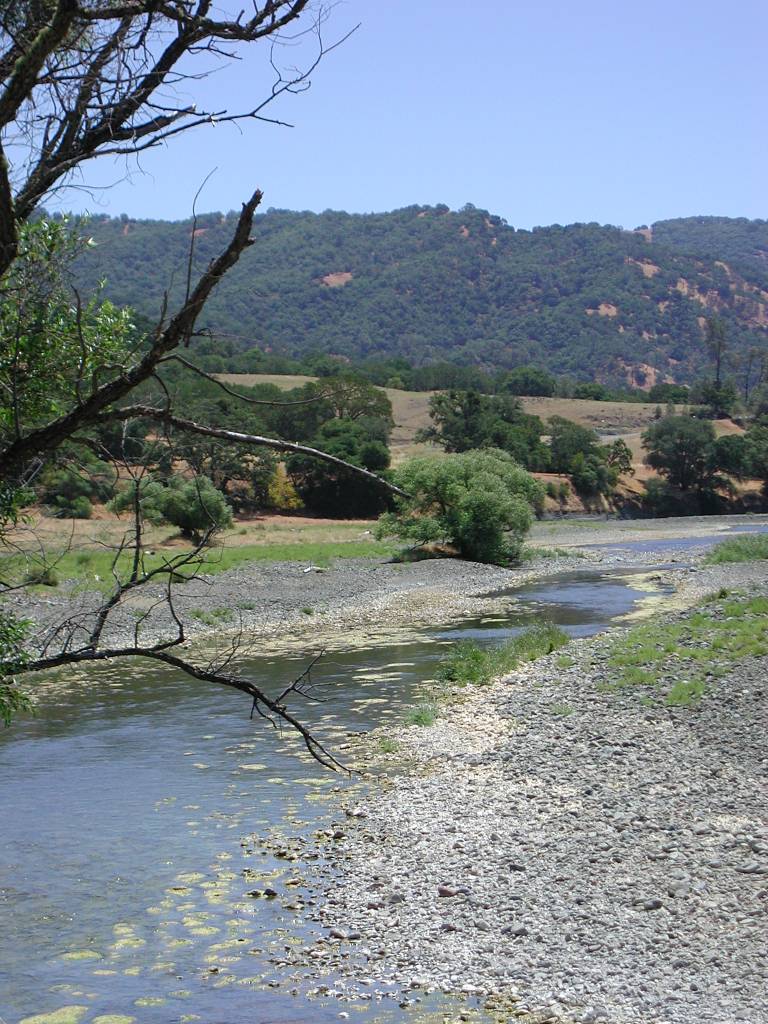 Click on image to enlarge (167K).
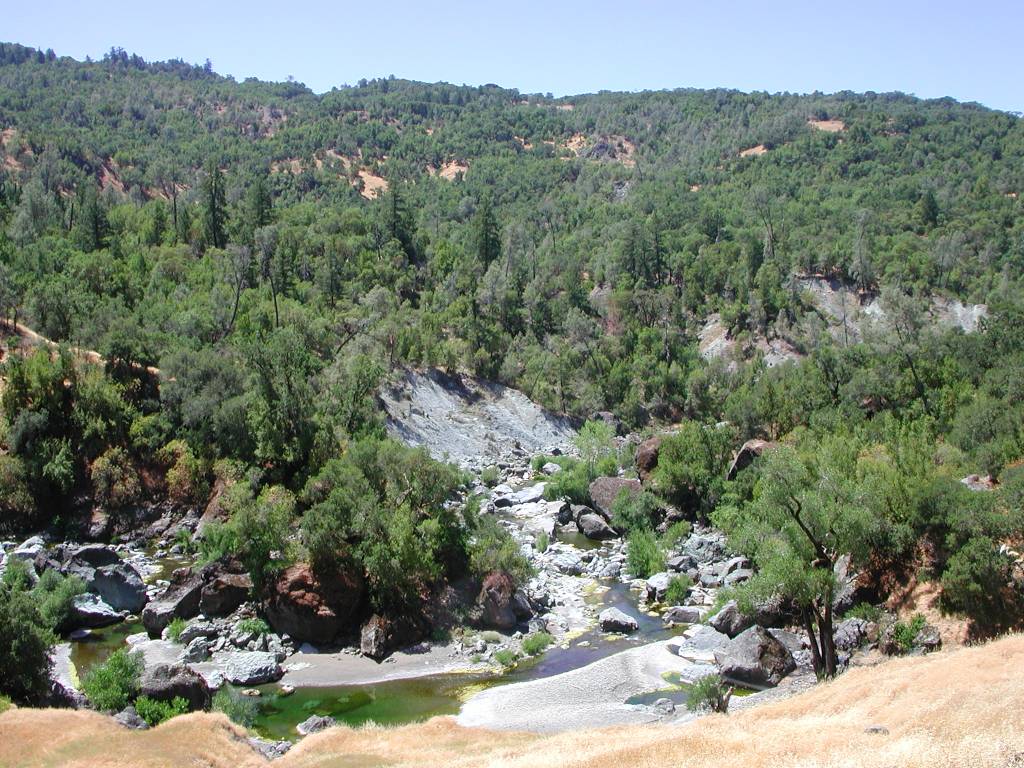 Click on image to enlarge (179K).
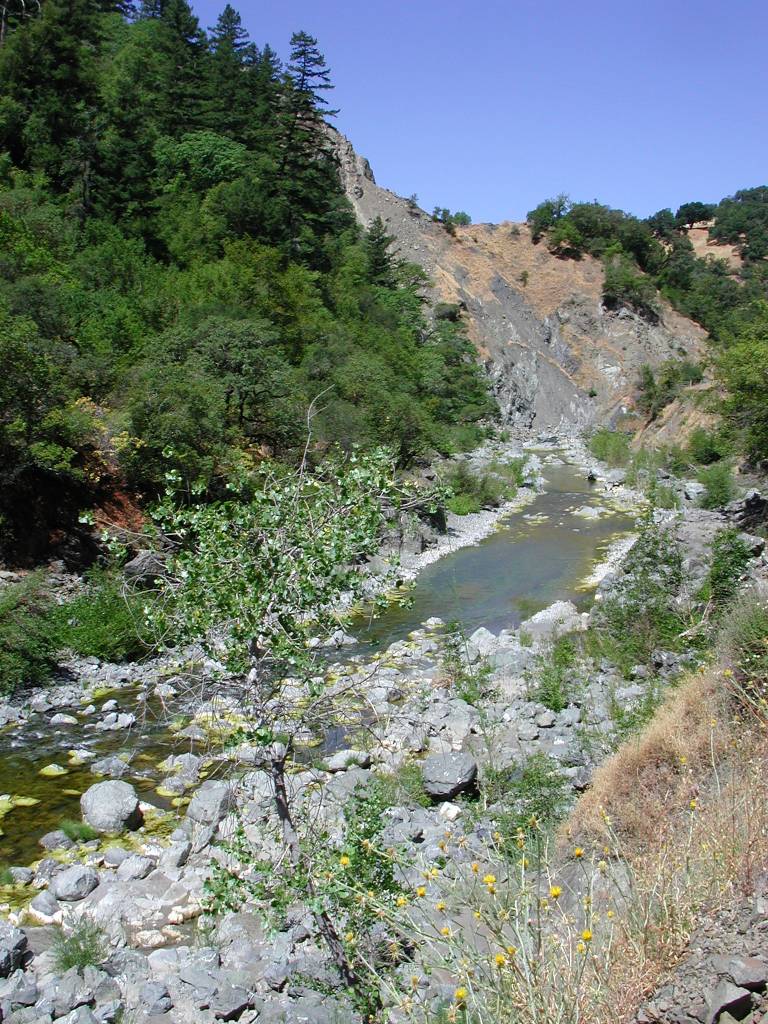 Click on image to enlarge (201K).
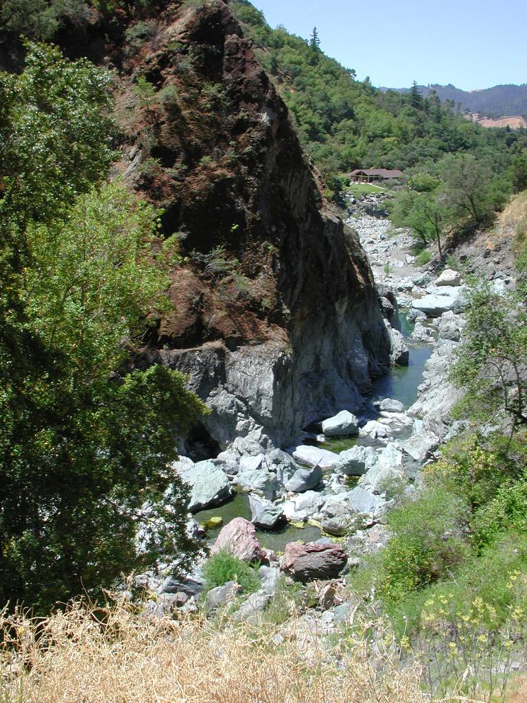 Click on image to enlarge (215K).
To learn more about this topic click Info Links
To view additional information (data source, aquisition date etc.) about this page, click Metadata
| www.krisweb.com |