|
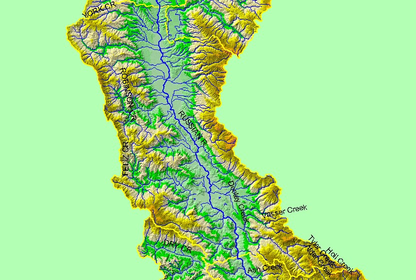
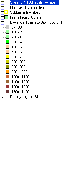
This is a map of the 1:100,000 scale U.S. Geologic Survey hydrography in the Ukiah sub-basin, displayed with a Digital Elevation Model (DEM) showing the topography
of the landscape. The Yokayo Valley sits at the center of the northern portion of the sub-basin, including Ukiah. Most of the perimeter of the sub-basin is steep terrain,
with elevations up to 1200 meters. The Mayacamas Mountains drain the eastern portion of the sub-basin. Data were contributed by the U.S. Geological Survey and the
California Department of Forestry.
|
|