
|
Area/Topic | Bibliography | Background | Hypotheses | Home |
|
Map Page.
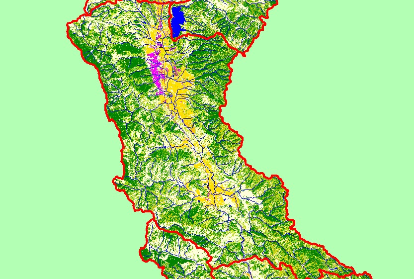
You selected the area Ukiah and the topic Map: 1C. EPA Landcover/Landuse, Ukiah Sub-basin |
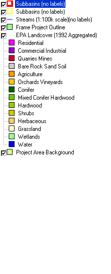
| This is a map of EPA Landcover/Landuse in the Ukiah sub-basin, based on a 1992 Landsat TM satellite image. The residential (pink) and industrial (purple) in the northern portion of the sub-basin is Ukiah. Most the Yokayo and Sanel valleys are mostly covered in vineyards and orchards. The remainder of the sub-basin is a mix of conifers, hardwoods, grasslands, and herbaceous vegetation. Data were provided by the U.S. Environmental Protection Agency. | |||
|
|
||
| www.krisweb.com |