
|
Area/Topic | Bibliography | Background | Hypotheses | Home |
|
Map Page.
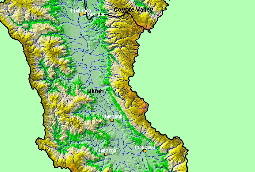
You selected the area Ukiah and the topic Flow: EF Russian R nr Ukiah, CA - Annual Peaks 1912-1913 and 1952-2001 |
| This is a map of streamflow gages in the Ukiah sub-basin. Displayed in the background are KRIS sub-basins, an hillshade of elevation, and 1:100,000 scale USGS hydrography. | |||
|
|
||
| www.krisweb.com |