
|
Area/Topic | Bibliography | Background | Hypotheses | Home |
|
Map Page.
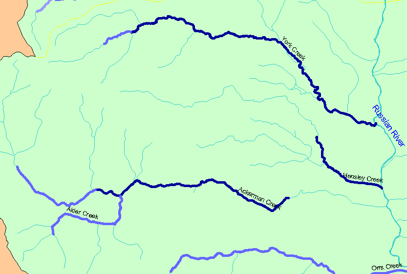
You selected the area Ukiah and the topic Habitat: Survey Reach Length in Northwest Ukiah Tribs 1994-2001 |
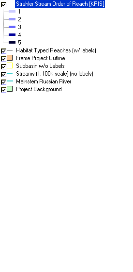
| The map shows the Strahler stream orders for stream reaches surveyed during the California Department of Fish and Game habitat typing surveys in northwestern streams in the Ukiah sub-basin. Strahler stream orders were determined by IFR-KRIS using the California Department of Forestry's 1:24,000 scale GIS layer. Click the check box next to a layer to toggle it on/off. Other available layers include other habitat survey data, Grayscale Hillshade, and Topographic Map. Scale = 1:61,129 . | |||
|
|
||
| www.krisweb.com |