
| Area | Ukiah |
| Topic | Tour: Russian River, near Hopland Vegetation/Landscape Photos |
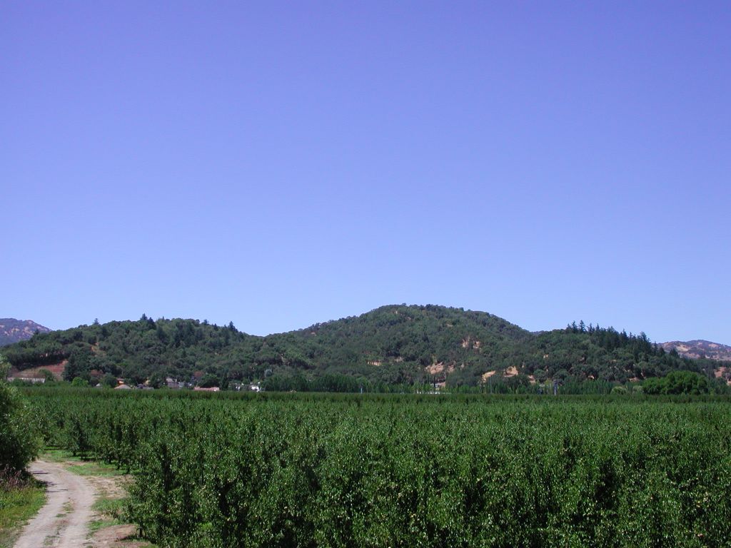
This photo shows vineyards with the city of Hopland visible to the west against the hills. Uplands are covered with a mix of chaparral, oak, conifers and grasslands. Photo by Patrick Higgins. July 15, 2003.
This picture and Pictures #3-5 show a rare native grassland dotted with oaks, shrubs and wildflowers with the larger trees in the distance representing trees immediately next to the river. Photo by Patrick Higgins. July 14, 2003.
This is a closeup of a meadow adjacent to the Russian River riparian zone looking west off East Side Road between Hopland and Ukiah. Photo by Pat Higgins. July 15, 2003.
This photo was taken zooming in on the riparian zone of the Russian River along East Side Road between Hopland and Ukiah. The pattern of upland vegetation is more discernable in the zoom and is once again a mix of grasslands, oak woodlands and chaparral with just a few conifers in the draws. Photo by Patrick Higgins. July 15, 2003.
The area just beyond the berry patch just below center in this photo looks like it might be wetland species. Meadows may have water storing capacity that helps buffer flood peaks and supply flow into the annual summer drought. Photo at same location as Pictures 2-4. Photo by Pat Higgins. July 15, 2003.
 Click on image to enlarge (119K).
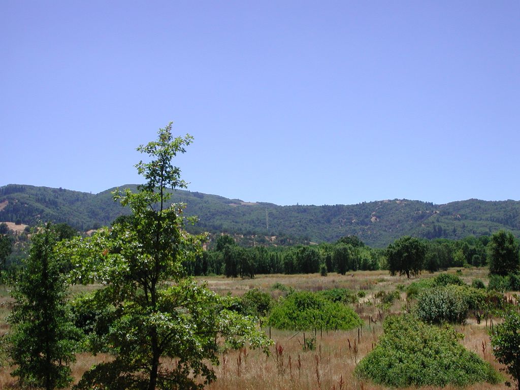 Click on image to enlarge (142K).
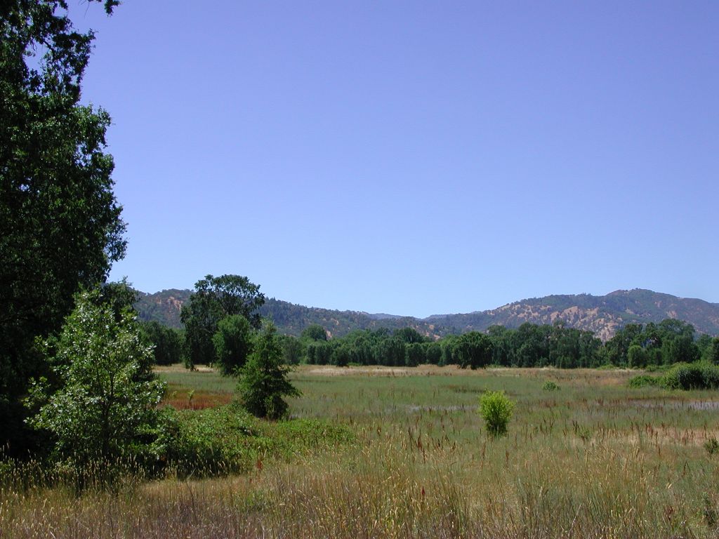 Click on image to enlarge (134K).
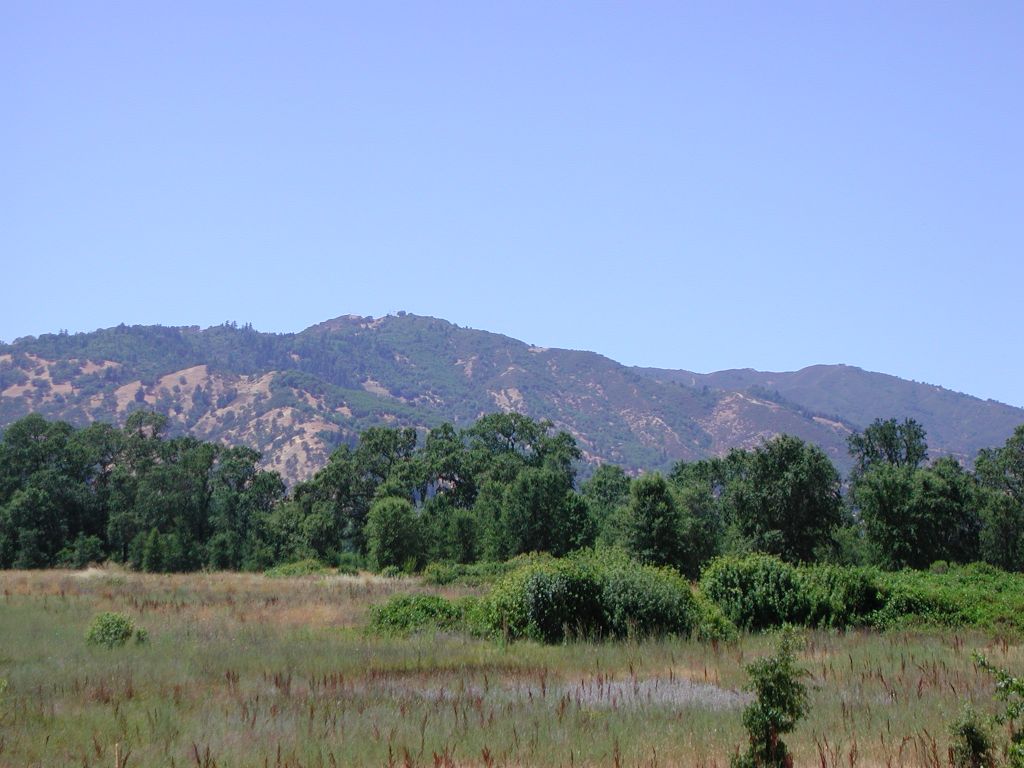 Click on image to enlarge (113K).
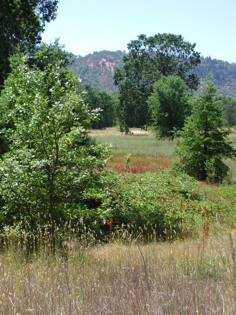 Click on image to enlarge (248K).
To learn more about this topic click Info Links
To view additional information (data source, aquisition date etc.) about this page, click Metadata
| www.krisweb.com |