|
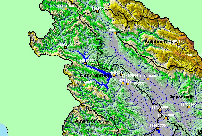
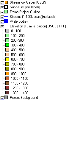
This is a map of streamflow gages in the Warm Springs sub-basin. Displayed in the background are KRIS sub-basins and 1:100,000 scale USGS hydrography. Click the
check box next to a layer to toggle it on/off. Other available layers include 1:24,000 scale streams, 1:24,000 scale USGS topographic maps, a hillshade of elevation, and
Calwater Planning Watersheds. Data were provided by the California Department of Water Resources (DWR), California Department of Forestry, and United States
Geologic Survey (USGS). Scale = 1:253,636 .
|
|