
|
Area/Topic | Bibliography | Background | Hypotheses | Home |
|
Map Page.
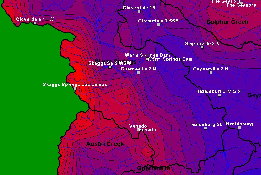
You selected the area Warm Springs and the topic Climate: Rainfall - Venado - Daily Maximum 1941-1999 |
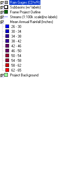
| TThis is a map of rain gages in the lower half of the Warm Springs sub-basin. Displayed in the background are KRIS sub-basins, a mean annual rainfall model, and 1:100,000 scale USGS hydrography. | |||
|
|
||
| www.krisweb.com |