|
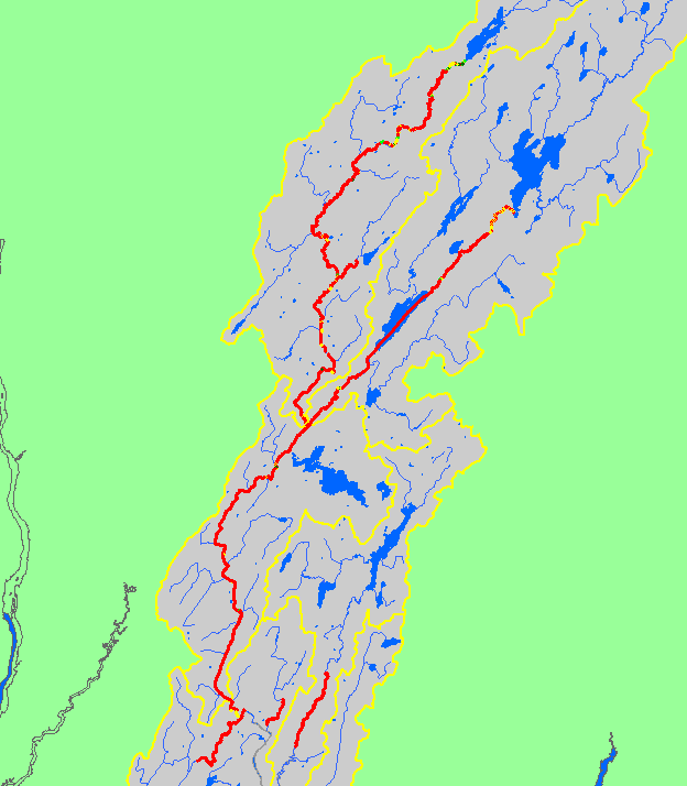
The map shows canopy coverage for habitat units in streams surveyed in the Sheepscot River and its tributaries during 1997-1999 habitat surveys by the Maine Atlantic
Salmon Commission and U.S. Fish and Wildlife Service. Also displayed are waterbodies and sub-basins.
|
|
|
 |
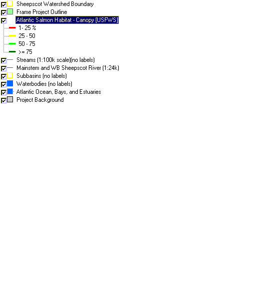 |
To view metadata about a map layer, click on a link in the table below.
| Name of Layer in Map Legend | Metadata File Name |
|---|
| Sheepscot Watershed Boundary | Unavailable |
| Frame Project Outline | Unavailable |
| Atlantic Salmon Habitat - Canopy [USFWS] |
ashab2.shp.txt
|
| Streams (1:100k scale)(no labels) |
stms100_bsn.shp.txt
|
| Mainstem and WB Sheepscot River (1:24k) |
shpscotriv24.shp.txt
|
| Subbasins (no labels) |
subbasins.shp.txt
|
| Waterbodies (no labels) |
sheeppnd.shp.txt
|
| Atlantic Ocean, Bays, and Estuaries | Unavailable |
| Project Background | Unavailable |