|
Area/Topic | Bibliography | Background | Hypotheses | Home |
Photo Pages: Meta Information
This page contains detailed information from the KRIS Photodatabase table about photos from sub-basin Below Head Tide and series Tour- Dear Meadow Brook 2004.
| Agency | Institute for Fisheries Resources |
| Basin | Sheepscot |
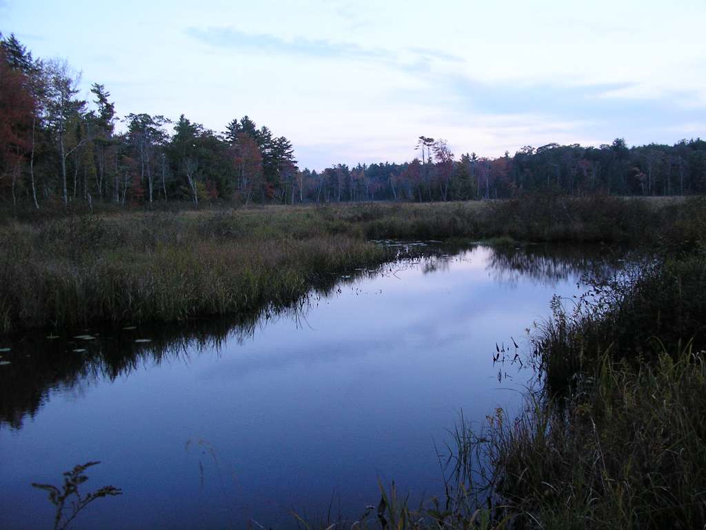
| Caption | This photograph shows Dear Meadow Brook River, looking upstream from the culvert where it flows under Highway 215. In this reach, the brook is a slow-flowing "deadwater." This site is located in the Below Head Tide sub-basin. Photograph was taken by Eli Asarian on 10/8/2004. |
| CaptionTemplate | [description] This site is located in the [SubBasin] sub-basin. Photograph was taken by [photographer] on [photodate]. |
| Category | Watershed Tour |
| Description | This photograph shows Dear Meadow Brook River, looking upstream from the culvert where it flows under Highway 215. In this reach, the brook is a slow-flowing "deadwater." |
| Filename | sheep_2004-10-08_15-07-45.jpg |
| Filesize | 60914 |
| Path | sheep_ifr_04\sheep_2004-10-08_15-07-45.jpg |
| Photodate | 10/8/2004 |
| Photographer | Eli Asarian |
| Restriction | None |
| Series | Tour- Dear Meadow Brook 2004 |
| SubBasin | Below Head Tide |
| UpdateDate | 10/20/2004 |
| UpdateName | JEA |
| Agency | Institute for Fisheries Resources |
| Basin | Sheepscot |
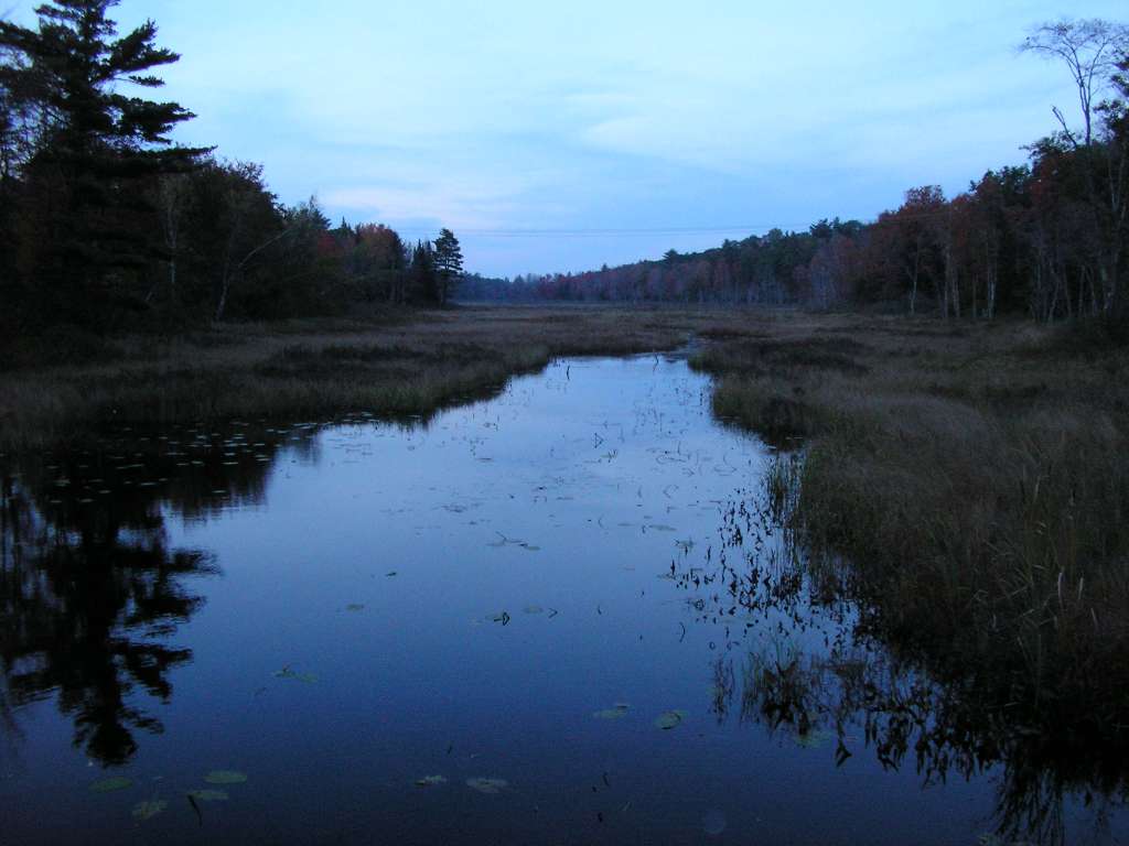
| Caption | This photograph shows Dear Meadow Brook River, looking downstream from the culvert where it flows under Highway 215. In this reach, the brook is a slow-flowing "deadwater." This site is located in the Below Head Tide sub-basin. Photograph was taken by Eli Asarian on 10/8/2004. |
| CaptionTemplate | [description] This site is located in the [SubBasin] sub-basin. Photograph was taken by [photographer] on [photodate]. |
| Category | Watershed Tour |
| Description | This photograph shows Dear Meadow Brook River, looking downstream from the culvert where it flows under Highway 215. In this reach, the brook is a slow-flowing "deadwater." |
| Filename | sheep_2004-10-08_15-09-35.jpg |
| Filesize | 69319 |
| Path | sheep_ifr_04\sheep_2004-10-08_15-09-35.jpg |
| Photodate | 10/8/2004 |
| Photographer | Eli Asarian |
| Restriction | None |
| Series | Tour- Dear Meadow Brook 2004 |
| SubBasin | Below Head Tide |
| UpdateDate | 10/20/2004 |
| UpdateName | JEA |
| Agency | Institute for Fisheries Resources |
| Basin | Sheepscot |
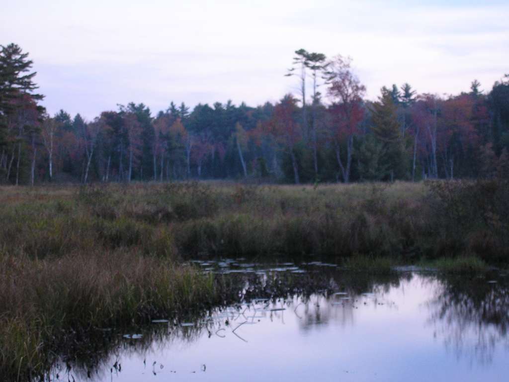
| Caption | This photograph shows Dear Meadow Brook River, looking downstream from the culvert where it flows under Highway 215. This photographed is zoomed in from the previous picture to show a cluster of trees that is in the middle of the wetland. In this reach, the brook is a slow-flowing "deadwater." This site is located in the Below Head Tide sub-basin. Photograph was taken by Eli Asarian on 10/8/2004. |
| CaptionTemplate | [description] This site is located in the [SubBasin] sub-basin. Photograph was taken by [photographer] on [photodate]. |
| Category | Watershed Tour |
| Description | This photograph shows Dear Meadow Brook River, looking downstream from the culvert where it flows under Highway 215. This photographed is zoomed in from the previous picture to show a cluster of trees that is in the middle of the wetland. In this reach, the brook is a slow-flowing "deadwater." |
| Filename | sheep_2004-10-08_15-10-47.jpg |
| Filesize | 55420 |
| Path | sheep_ifr_04\sheep_2004-10-08_15-10-47.jpg |
| Photodate | 10/8/2004 |
| Photographer | Eli Asarian |
| Restriction | None |
| Series | Tour- Dear Meadow Brook 2004 |
| SubBasin | Below Head Tide |
| UpdateDate | 10/20/2004 |
| UpdateName | JEA |
| www.krisweb.com |