| Agency |
Institute for Fisheries Resources |
| Basin |
Sheepscot |
| Caption |
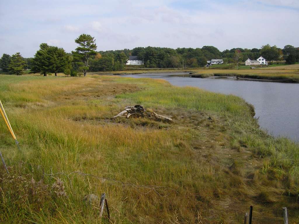
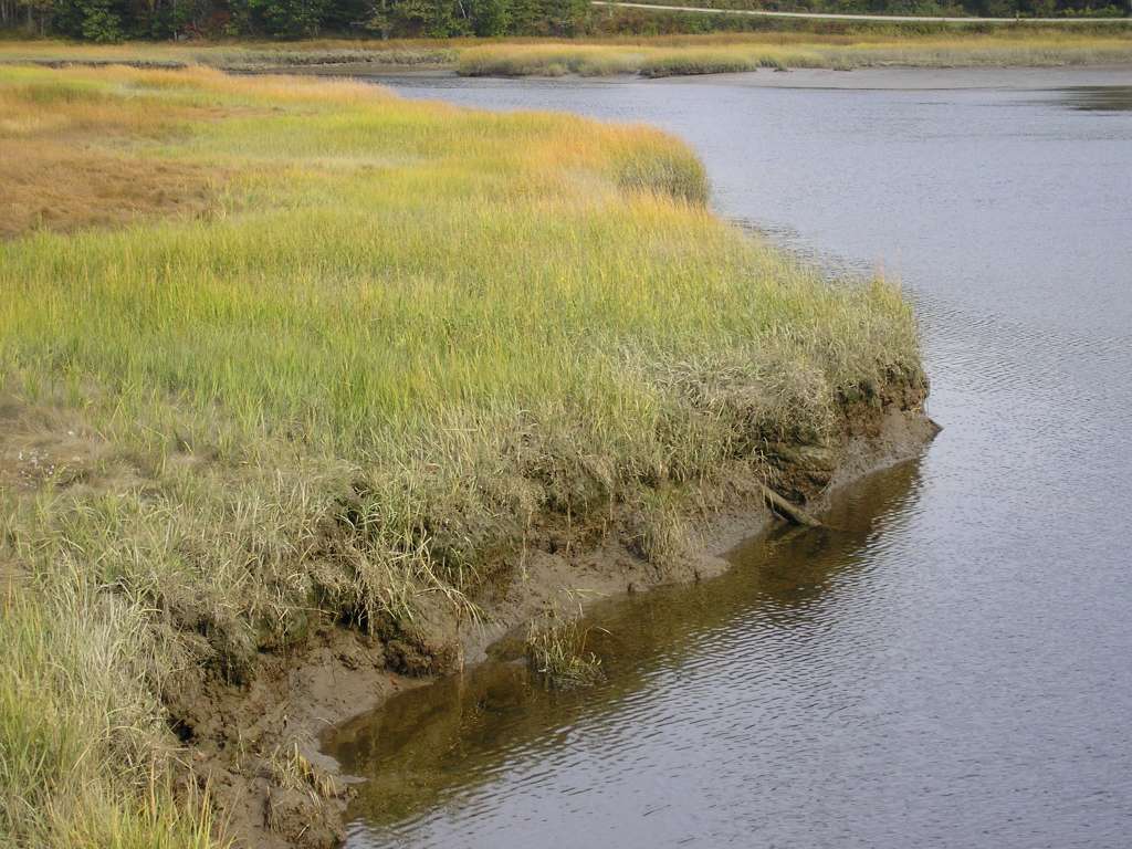
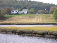
This photograph shows a tidal area near the confluence of the Dyer River and the Sheepscot River. This site is located in the Below Head Tide sub-basin. Photograph was taken by Eli Asarian on 10/9/2004. |
| CaptionTemplate |
[description] This site is located in the [SubBasin] sub-basin. Photograph was taken by [photographer] on [photodate]. |
| Category |
Watershed Tour |
| Description |
This photograph shows a tidal area near the confluence of the Dyer River and the Sheepscot River. |
| Filename |
sheep_2004-10-09_11-45-48.jpg |
| Filesize |
100145 |
| Path |
sheep_ifr_04\sheep_2004-10-09_11-45-48.jpg |
| Photodate |
10/9/2004 |
| Photographer |
Eli Asarian |
| Restriction |
None |
| Series |
Tour- Sheepscot R. and Dyer R. at Sheepscot Vil. 2004 |
| SubBasin |
Below Head Tide |
| UpdateDate |
10/20/2004 |
| UpdateName |
JEA |
| Agency |
Institute for Fisheries Resources |
| Basin |
Sheepscot |
| Caption |
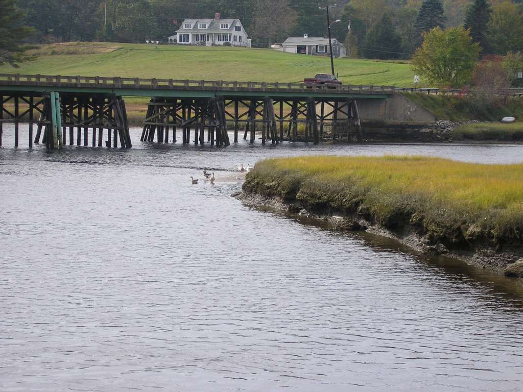
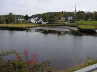
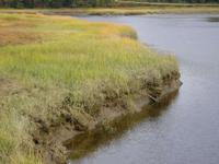
This photograph shows a tidal area near the confluence of the Dyer River and the Sheepscot River. This site is located in the Below Head Tide sub-basin. Photograph was taken by Eli Asarian on 10/9/2004. |
| CaptionTemplate |
[description] This site is located in the [SubBasin] sub-basin. Photograph was taken by [photographer] on [photodate]. |
| Category |
Watershed Tour |
| Description |
This photograph shows a tidal area near the confluence of the Dyer River and the Sheepscot River. |
| Filename |
sheep_2004-10-09_11-46-04.jpg |
| Filesize |
89188 |
| Path |
sheep_ifr_04\sheep_2004-10-09_11-46-04.jpg |
| Photodate |
10/9/2004 |
| Photographer |
Eli Asarian |
| Restriction |
None |
| Series |
Tour- Sheepscot R. and Dyer R. at Sheepscot Vil. 2004 |
| SubBasin |
Below Head Tide |
| UpdateDate |
10/20/2004 |
| UpdateName |
JEA |
| Agency |
Institute for Fisheries Resources |
| Basin |
Sheepscot |
| Caption |
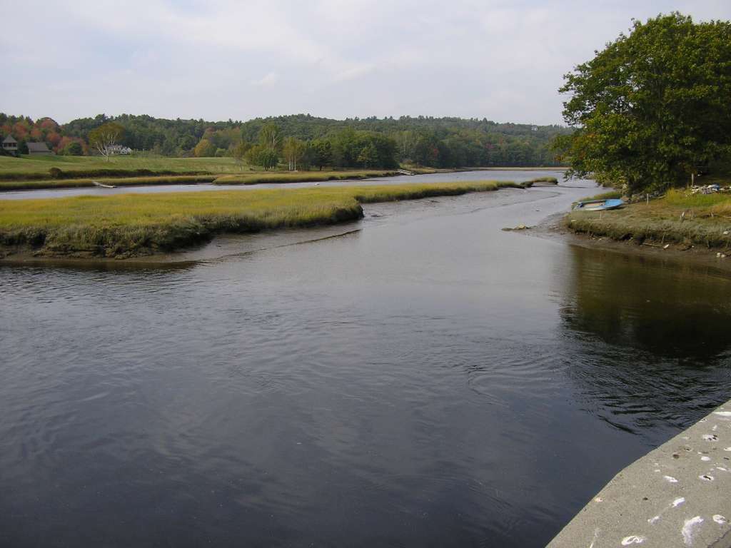
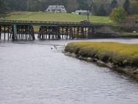
This photograph shows a tidal area near the confluence of the Dyer River and the Sheepscot River. This site is located in the Below Head Tide sub-basin. Photograph was taken by Eli Asarian on 10/9/2004. |
| CaptionTemplate |
[description] This site is located in the [SubBasin] sub-basin. Photograph was taken by [photographer] on [photodate]. |
| Category |
Watershed Tour |
| Description |
This photograph shows a tidal area near the confluence of the Dyer River and the Sheepscot River. |
| Filename |
sheep_2004-10-09_11-46-19.jpg |
| Filesize |
113529 |
| Path |
sheep_ifr_04\sheep_2004-10-09_11-46-19.jpg |
| Photodate |
10/9/2004 |
| Photographer |
Eli Asarian |
| Restriction |
None |
| Series |
Tour- Sheepscot R. and Dyer R. at Sheepscot Vil. 2004 |
| SubBasin |
Below Head Tide |
| UpdateDate |
10/20/2004 |
| UpdateName |
JEA |
| Agency |
Institute for Fisheries Resources |
| Basin |
Sheepscot |
| Caption |
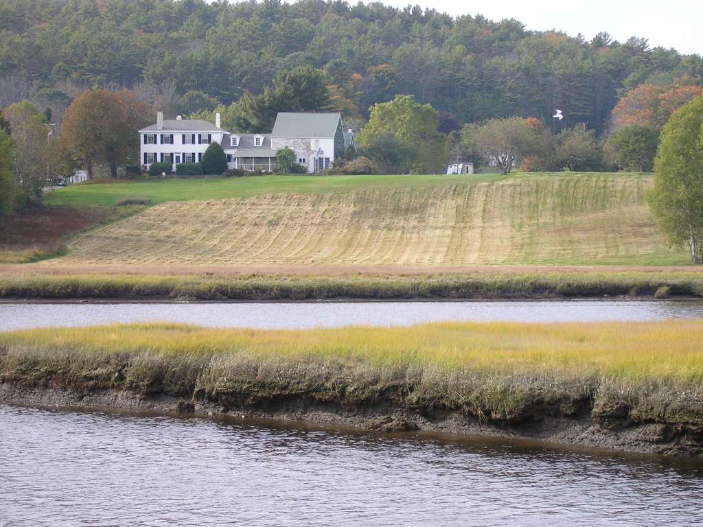
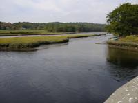
This photograph shows a tidal area near the confluence of the Dyer River and the Sheepscot River. This site is located in the Below Head Tide sub-basin. Photograph was taken by Eli Asarian on 10/9/2004. |
| CaptionTemplate |
[description] This site is located in the [SubBasin] sub-basin. Photograph was taken by [photographer] on [photodate]. |
| Category |
Watershed Tour |
| Description |
This photograph shows a tidal area near the confluence of the Dyer River and the Sheepscot River. |
| Filename |
sheep_2004-10-09_11-46-48.jpg |
| Filesize |
65163 |
| Path |
sheep_ifr_04\sheep_2004-10-09_11-46-48.jpg |
| Photodate |
10/9/2004 |
| Photographer |
Eli Asarian |
| Restriction |
None |
| Series |
Tour- Sheepscot R. and Dyer R. at Sheepscot Vil. 2004 |
| SubBasin |
Below Head Tide |
| UpdateDate |
10/20/2004 |
| UpdateName |
JEA |
| Agency |
Institute for Fisheries Resources |
| Basin |
Sheepscot |
| Caption |
This photograph shows a tidal area near the confluence of the Dyer River and the Sheepscot River. This site is located in the Below Head Tide sub-basin. Photograph was taken by Eli Asarian on 10/9/2004. |
| CaptionTemplate |
[description] This site is located in the [SubBasin] sub-basin. Photograph was taken by [photographer] on [photodate]. |
| Category |
Watershed Tour |
| Description |
This photograph shows a tidal area near the confluence of the Dyer River and the Sheepscot River. |
| Filename |
sheep_2004-10-09_11-46-58.jpg |
| Filesize |
120457 |
| Path |
sheep_ifr_04\sheep_2004-10-09_11-46-58.jpg |
| Photodate |
10/9/2004 |
| Photographer |
Eli Asarian |
| Restriction |
None |
| Series |
Tour- Sheepscot R. and Dyer R. at Sheepscot Vil. 2004 |
| SubBasin |
Below Head Tide |
| UpdateDate |
10/20/2004 |
| UpdateName |
JEA |
| Agency |
Institute for Fisheries Resources |
| Basin |
Sheepscot |
| Caption |
This photograph shows a tidal area near the confluence of the Dyer River and the Sheepscot River. This site is located in the Below Head Tide sub-basin. Photograph was taken by Eli Asarian on 10/9/2004. |
| CaptionTemplate |
[description] This site is located in the [SubBasin] sub-basin. Photograph was taken by [photographer] on [photodate]. |
| Category |
Watershed Tour |
| Description |
This photograph shows a tidal area near the confluence of the Dyer River and the Sheepscot River. |
| Filename |
sheep_2004-10-09_11-47-45.jpg |
| Filesize |
119079 |
| Path |
sheep_ifr_04\sheep_2004-10-09_11-47-45.jpg |
| Photodate |
10/9/2004 |
| Photographer |
Eli Asarian |
| Restriction |
None |
| Series |
Tour- Sheepscot R. and Dyer R. at Sheepscot Vil. 2004 |
| SubBasin |
Below Head Tide |
| UpdateDate |
10/20/2004 |
| UpdateName |
JEA |