| Basin |
Sheepscot |
| Caption |
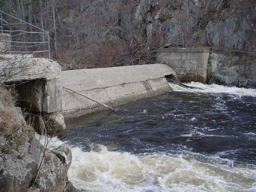
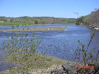
This photo is of the Head Tide Dam in Alna. By 1792 there were five mills in operation at the Head of Tide, three saw mils, a gristmill and a fullingmill. The dam was breached in 1952. Photo by M. Laser May 2002. |
| CaptionTemplate |
[Description] |
| Category |
Watershed Tour |
| Description |
This photo is of the Head Tide Dam in Alna. By 1792 there were five mills in operation at the Head of Tide, three saw mils, a gristmill and a fullingmill. The dam was breached in 1952. Photo by M. Laser May 2002. |
| Filename |
htd_1_4-19-04.jpg |
| Filesize |
152763 |
| Meta_Id |
COMBO_pics |
| Notefile |
sheepscot.htm#COMBO_pics |
| Path |
bh/htd_1_4-19-04.jpg |
| Photographer |
Melissa Laser |
| Series |
Tour- Sheepscot River below Head Tide 2002 |
| SubBasin |
Below Head Tide |
| Basin |
Sheepscot |
| Caption |
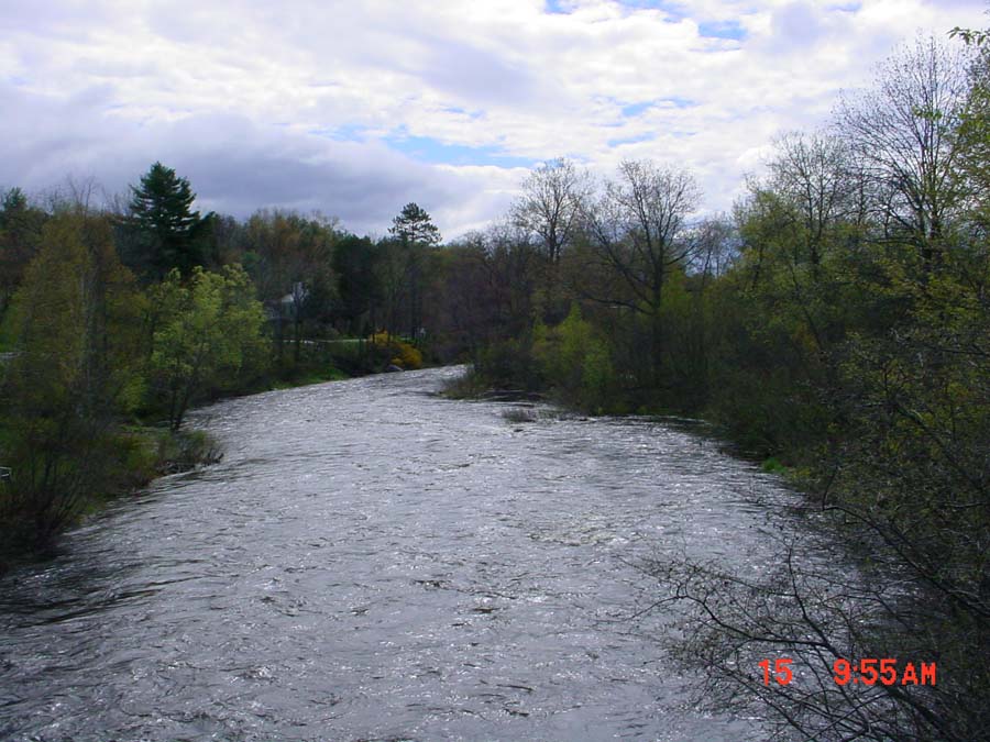
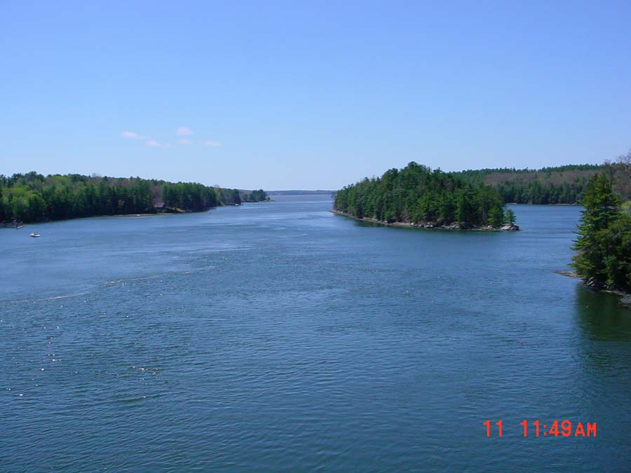
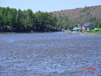
This photo was taken from the bridge in Sheepscot Village looking upstream. The Dyer River joins the Sheepscot River at the right of the picture. Photo by M. Laser May 2002. |
| CaptionTemplate |
[Description] |
| Category |
Watershed Tour |
| Description |
This photo was taken from the bridge in Sheepscot Village looking upstream. The Dyer River joins the Sheepscot River at the right of the picture. Photo by M. Laser May 2002. |
| Filename |
srinsv1.jpg |
| Filesize |
131149 |
| Meta_Id |
COMBO_pics |
| Notefile |
sheepscot.htm#COMBO_pics |
| Path |
bh/srinsv1.jpg |
| Photographer |
Melissa Laser |
| Series |
Tour- Sheepscot River below Head Tide 2002 |
| SubBasin |
Below Head Tide |
| Basin |
Sheepscot |
| Caption |
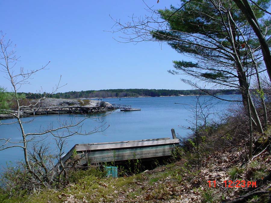
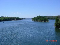
This photo was taken from the bridge in Sheepscot Village looking downstream. Photo by M. Laser May 2002. |
| CaptionTemplate |
[Description] |
| Category |
Watershed Tour |
| Description |
This photo was taken from the bridge in Sheepscot Village looking downstream. Photo by M. Laser May 2002. |
| Filename |
srinsv4.jpg |
| Filesize |
123630 |
| Meta_Id |
COMBO_pics |
| Notefile |
sheepscot.htm#COMBO_pics |
| Path |
bh/srinsv4.jpg |
| Photographer |
Melissa Laser |
| Series |
Tour- Sheepscot River below Head Tide 2002 |
| SubBasin |
Below Head Tide |
| Basin |
Sheepscot |
| Caption |
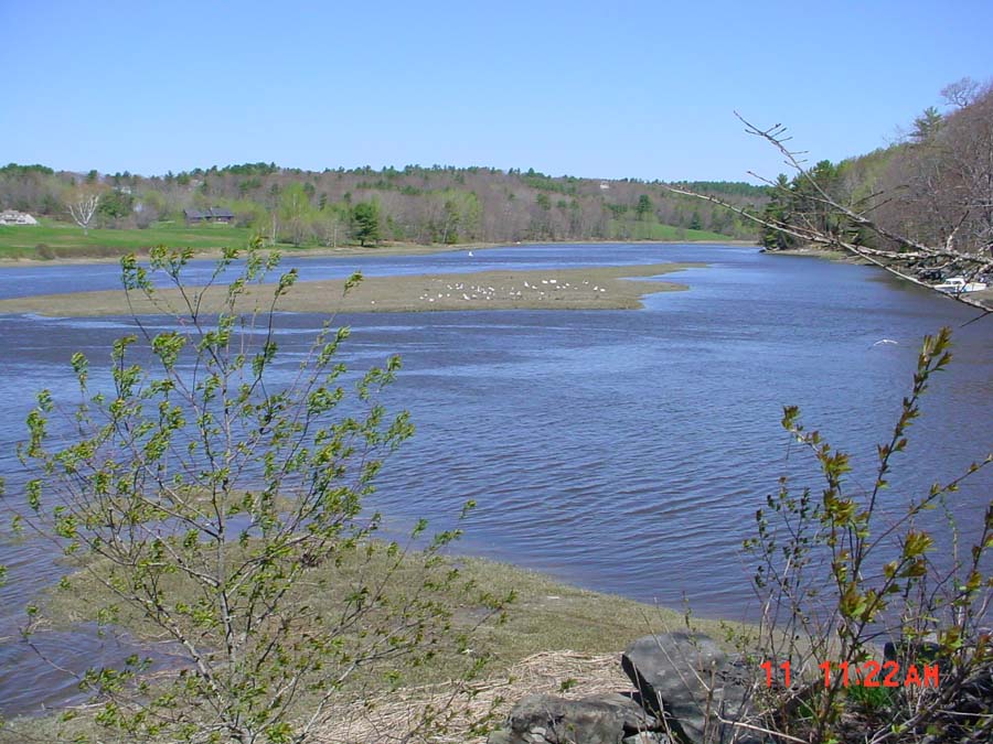
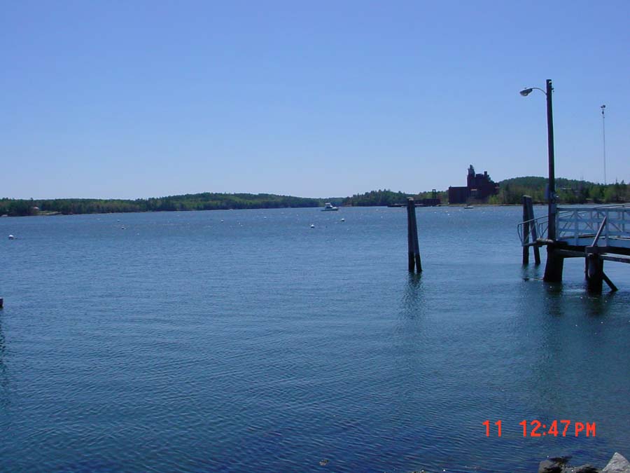
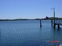
This photo was taken from the public boat landing in Wiscasset looking southeast. Photo by M. Laser May 2002. |
| CaptionTemplate |
[Description] |
| Category |
Watershed Tour |
| Description |
This photo was taken from the public boat landing in Wiscasset looking southeast. Photo by M. Laser May 2002. |
| Filename |
srinwi1.jpg |
| Filesize |
71215 |
| Meta_Id |
COMBO_pics |
| Notefile |
sheepscot.htm#COMBO_pics |
| Path |
bh/srinwi1.jpg |
| Photographer |
Melissa Laser |
| Series |
Tour- Sheepscot River below Head Tide 2002 |
| SubBasin |
Below Head Tide |
| Basin |
Sheepscot |
| Caption |
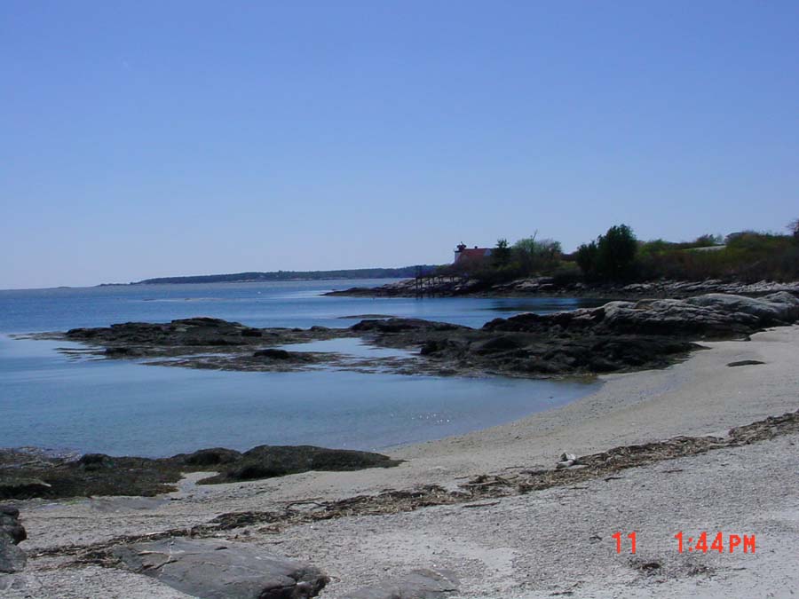
This photo was taken from the Route 144 Bridge leading to Westport looking out towards the Atlantic Ocean. Photo by M. Laser May 2002. |
| CaptionTemplate |
[Description] |
| Category |
Watershed Tour |
| Description |
This photo was taken from the Route 144 Bridge leading to Westport looking out towards the Atlantic Ocean. Photo by M. Laser May 2002. |
| Filename |
viewfrom144bridge1.jpg |
| Filesize |
72015 |
| Meta_Id |
COMBO_pics |
| Notefile |
sheepscot.htm#COMBO_pics |
| Path |
bh/viewfrom144bridge1.jpg |
| Photographer |
Melissa Laser |
| Series |
Tour- Sheepscot River below Head Tide 2002 |
| SubBasin |
Below Head Tide |
| Basin |
Sheepscot |
| Caption |
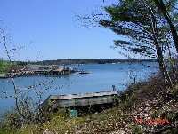
This photo was taken from the east side of Westport Island looking east towards Boothbay Harbor. Photo by M. Laser May 2002. |
| CaptionTemplate |
[Description] |
| Category |
Watershed Tour |
| Description |
This photo was taken from the east side of Westport Island looking east towards Boothbay Harbor. Photo by M. Laser May 2002. |
| Filename |
viewfromeastsideroad3.jpg |
| Filesize |
153150 |
| Meta_Id |
COMBO_pics |
| Notefile |
sheepscot.htm#COMBO_pics |
| Path |
bh/viewfromeastsideroad3.jpg |
| Photographer |
Melissa Laser |
| Series |
Tour- Sheepscot River below Head Tide 2002 |
| SubBasin |
Below Head Tide |