| Basin |
Sheepscot |
| Caption |
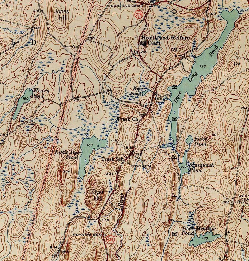
1944 topographic map of the Dyer River. From the Wiscasset NE 1944 quad downloaded from http://docs.unh.edu/nhtopos/nhtopos.htm. |
| CaptionTemplate |
[Description] |
| Category |
Historical Topo Maps |
| Description |
1944 topographic map of the Dyer River. From the Wiscasset NE 1944 quad downloaded from http://docs.unh.edu/nhtopos/nhtopos.htm. |
| Filename |
dyer_44.jpg |
| Filesize |
332217 |
| Meta_Id |
UNH_topos |
| Notefile |
sheepscot.htm#UNH_topos |
| Path |
dr/dyer_44.jpg |
| Series |
Historical Topo Maps- Dyer River |
| SubBasin |
Dyer River |
| Basin |
Sheepscot |
| Caption |
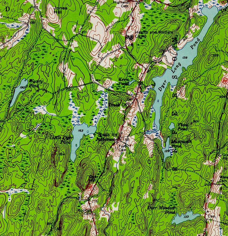
1957 topographic map of the Dyer River. From the Wiscasset NE 1957 quad downloaded from http://docs.unh.edu/nhtopos/nhtopos.htm. |
| CaptionTemplate |
[Description] |
| Category |
Historical Topo Maps |
| Description |
1957 topographic map of the Dyer River. From the Wiscasset NE 1957 quad downloaded from http://docs.unh.edu/nhtopos/nhtopos.htm. |
| Filename |
dyer_57.jpg |
| Filesize |
334942 |
| Meta_Id |
UNH_topos |
| Notefile |
sheepscot.htm#UNH_topos |
| Path |
dr/dyer_57.jpg |
| Series |
Historical Topo Maps- Dyer River |
| SubBasin |
Dyer River |
| Basin |
Sheepscot |
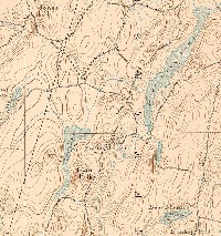
| Caption |
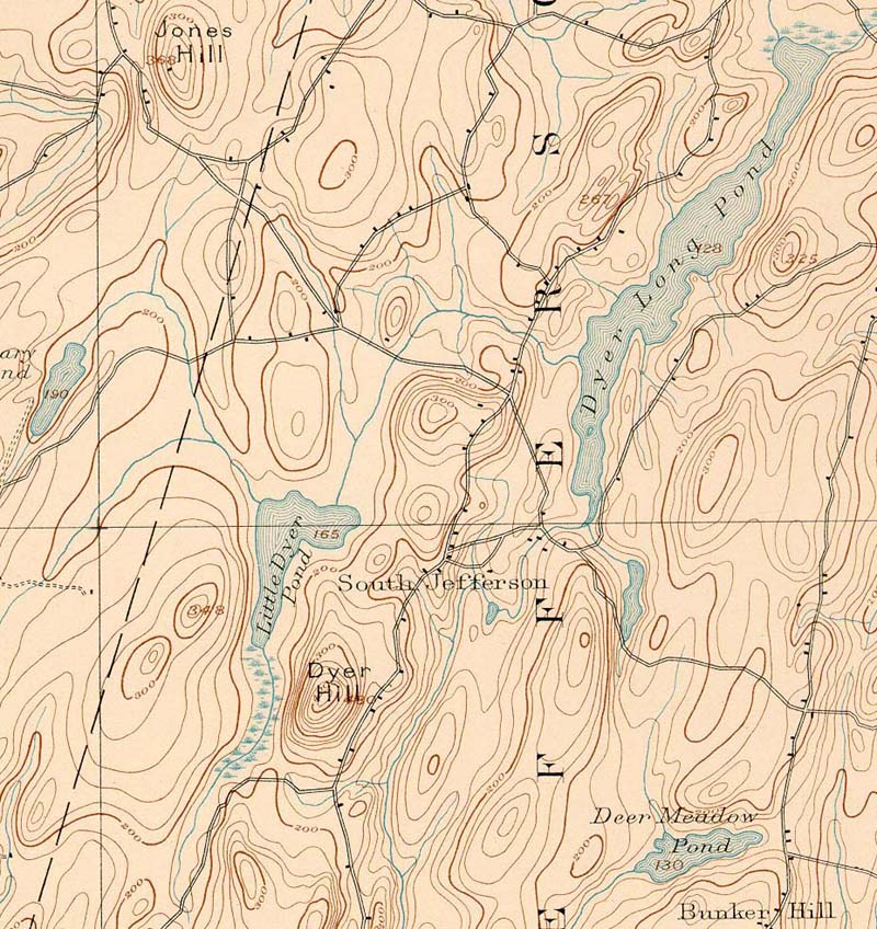
1893 topographic map of the Dyer River. From the Wiscasset NE 1893 quad downloaded from http://docs.unh.edu/nhtopos/nhtopos.htm. |
| CaptionTemplate |
[Description] |
| Category |
Historical Topo Maps |
| Description |
1893 topographic map of the Dyer River. From the Wiscasset NE 1893 quad downloaded from http://docs.unh.edu/nhtopos/nhtopos.htm. |
| Filename |
dyer_93.jpg |
| Filesize |
218613 |
| Meta_Id |
UNH_topos |
| Notefile |
sheepscot.htm#UNH_topos |
| Path |
dr/dyer_93.jpg |
| Series |
Historical Topo Maps- Dyer River |
| SubBasin |
Dyer River |