| Agency |
Institute for Fisheries Resources |
| Basin |
Sheepscot |
| Caption |
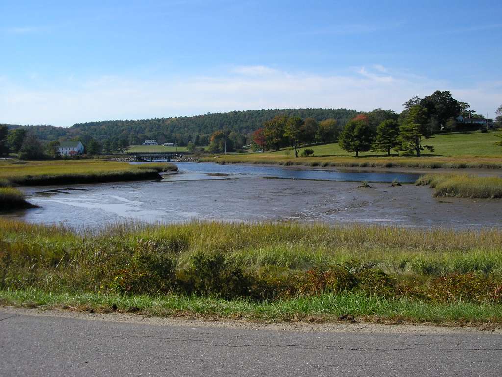
This photograph shows a tidal section of Dyer River near its confluence with the Sheepscot, looking west from North Newcastle Road. This site is located in the Dyer River sub-basin. Photograph was taken by Eli Asarian on 10/8/2004. |
| CaptionTemplate |
[description] This site is located in the [SubBasin] sub-basin. Photograph was taken by [photographer] on [photodate]. |
| Category |
Watershed Tour |
| Description |
This photograph shows a tidal section of Dyer River near its confluence with the Sheepscot, looking west from North Newcastle Road. |
| Filename |
sheep_2004-10-08_10-51-56.jpg |
| Filesize |
106184 |
| Path |
sheep_ifr_04\sheep_2004-10-08_10-51-56.jpg |
| Photodate |
10/8/2004 |
| Photographer |
Eli Asarian |
| Restriction |
None |
| Series |
Tour- Lower Dyer River Tidal Reach 2004 |
| SubBasin |
Dyer River |
| UpdateDate |
10/20/2004 |
| UpdateName |
JEA |
| Agency |
Institute for Fisheries Resources |
| Basin |
Sheepscot |
| Caption |
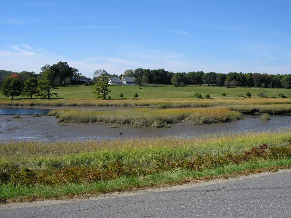
This photograph shows a tidal section of Dyer River near its confluence with the Sheepscot, looking west from North Newcastle Road. This site is located in the Dyer River sub-basin. Photograph was taken by Eli Asarian on 10/8/2004. |
| CaptionTemplate |
[description] This site is located in the [SubBasin] sub-basin. Photograph was taken by [photographer] on [photodate]. |
| Category |
Watershed Tour |
| Description |
This photograph shows a tidal section of Dyer River near its confluence with the Sheepscot, looking west from North Newcastle Road. |
| Filename |
sheep_2004-10-08_10-52-03.jpg |
| Filesize |
105057 |
| Path |
sheep_ifr_04\sheep_2004-10-08_10-52-03.jpg |
| Photodate |
10/8/2004 |
| Photographer |
Eli Asarian |
| Restriction |
None |
| Series |
Tour- Lower Dyer River Tidal Reach 2004 |
| SubBasin |
Dyer River |
| UpdateDate |
10/20/2004 |
| UpdateName |
JEA |