| Agency |
Institute for Fisheries Resources |
| Basin |
Sheepscot |
| Caption |
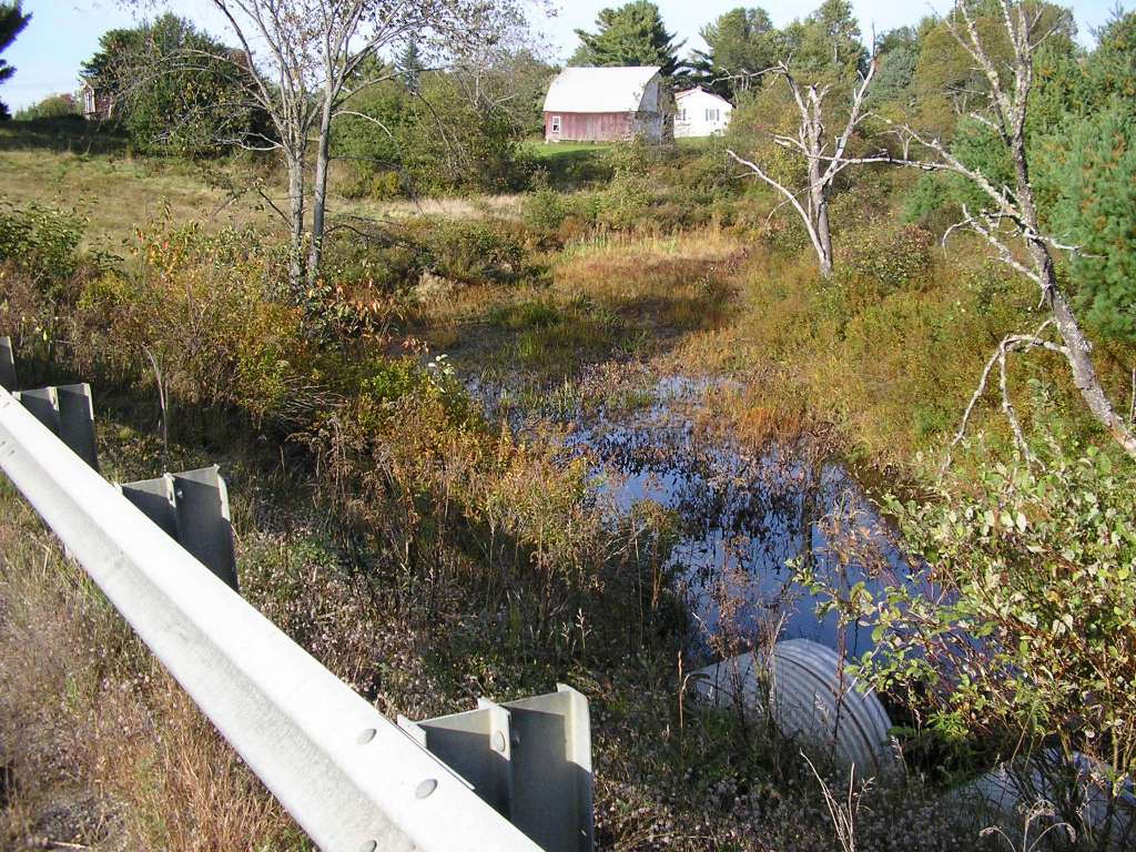
This photograph shows Carlton Brook, looking upstream from where it goes under Highway 218. The site is located north of Whitefield, and near where Carlton Brook enters the Sheepscot River. A close-up of the twin culverts is show in the previous photograph. This site is located in the Mainstem Sheepscot sub-basin. Photograph was taken by Eli Asarian on 10/8/2004. |
| CaptionTemplate |
[description] This site is located in the [SubBasin] sub-basin. Photograph was taken by [photographer] on [photodate]. |
| Category |
Watershed Tour |
| Description |
This photograph shows Carlton Brook, looking upstream from where it goes under Highway 218. The site is located north of Whitefield, and near where Carlton Brook enters the Sheepscot River. A close-up of the twin culverts is show in the previous photograph. |
| Filename |
sheep_2004-10-08_12-52-17.jpg |
| Filesize |
188757 |
| Path |
sheep_ifr_04\sheep_2004-10-08_12-52-17.jpg |
| Photodate |
10/8/2004 |
| Photographer |
Eli Asarian |
| Restriction |
None |
| Series |
Tour- Carton Brook 2004 |
| SubBasin |
Mainstem Sheepscot |
| UpdateDate |
10/20/2004 |
| UpdateName |
JEA |
| Agency |
Institute for Fisheries Resources |
| Basin |
Sheepscot |
| Caption |
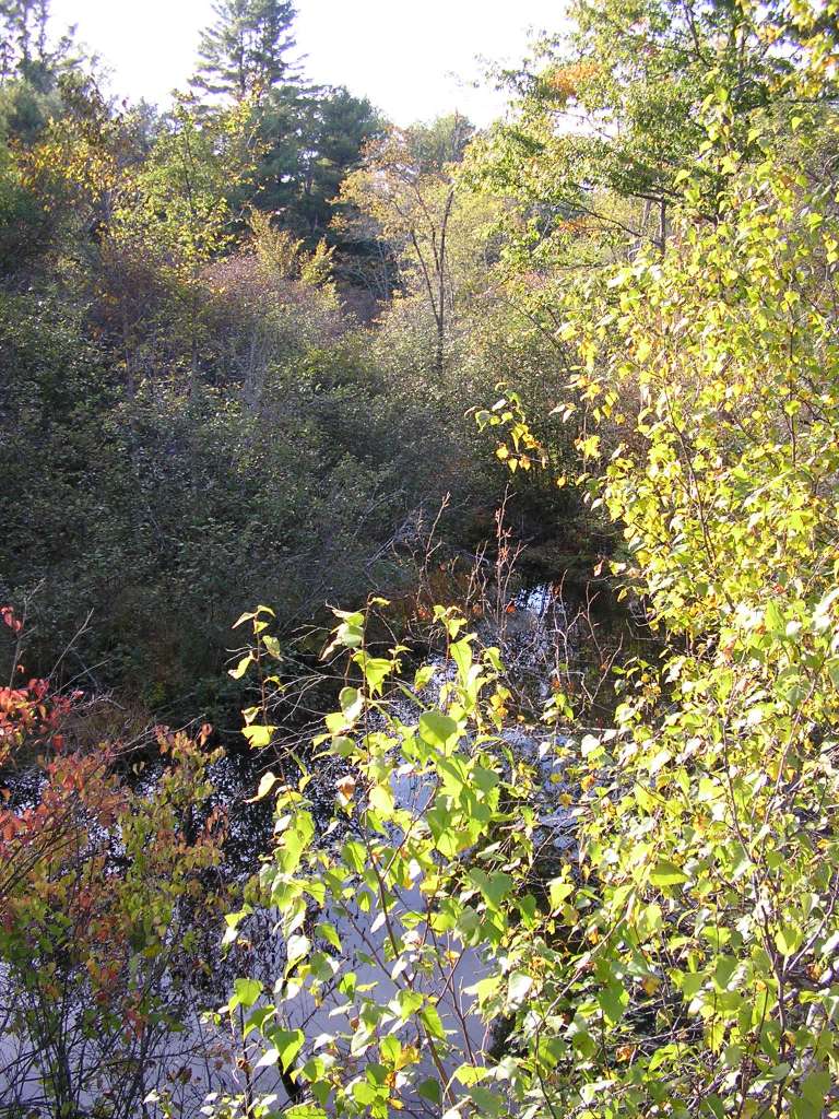
This photograph shows Carlton Brook, looking downstream from where it goes under Highway 218. The site is located north of Whitefield, and near where Carlton Brook enters the Sheepscot River. This site is located in the Mainstem Sheepscot sub-basin. Photograph was taken by Eli Asarian on 10/8/2004. |
| CaptionTemplate |
[description] This site is located in the [SubBasin] sub-basin. Photograph was taken by [photographer] on [photodate]. |
| Category |
Watershed Tour |
| Description |
This photograph shows Carlton Brook, looking downstream from where it goes under Highway 218. The site is located north of Whitefield, and near where Carlton Brook enters the Sheepscot River. |
| Filename |
sheep_2004-10-08_12-52-50.jpg |
| Filesize |
227413 |
| Path |
sheep_ifr_04\sheep_2004-10-08_12-52-50.jpg |
| Photodate |
10/8/2004 |
| Photographer |
Eli Asarian |
| Restriction |
None |
| Series |
Tour- Carton Brook 2004 |
| SubBasin |
Mainstem Sheepscot |
| UpdateDate |
10/20/2004 |
| UpdateName |
JEA |