| Agency |
Institute for Fisheries Resources |
| Basin |
Sheepscot |
| Caption |
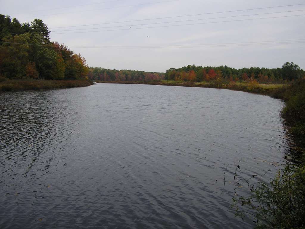
This photo shows Long Pond, near Coopers Mills Road / Somerville Road. This site is located in the Upper Sheepscot sub-basin. Photograph was taken by Eli Asarian on 10/9/2004. |
| CaptionTemplate |
[description] This site is located in the [SubBasin] sub-basin. Photograph was taken by [photographer] on [photodate]. |
| Category |
Watershed Tour |
| Description |
This photo shows Long Pond, near Coopers Mills Road / Somerville Road. |
| Filename |
sheep_2004-10-09_11-02-37.jpg |
| Filesize |
75321 |
| Path |
sheep_ifr_04\sheep_2004-10-09_11-02-37.jpg |
| Photodate |
10/9/2004 |
| Photographer |
Eli Asarian |
| Restriction |
None |
| Series |
Tour- Long Pond 2004 |
| SubBasin |
Upper Sheepscot |
| UpdateDate |
10/20/2004 |
| UpdateName |
JEA |
| Agency |
Institute for Fisheries Resources |
| Basin |
Sheepscot |
| Caption |
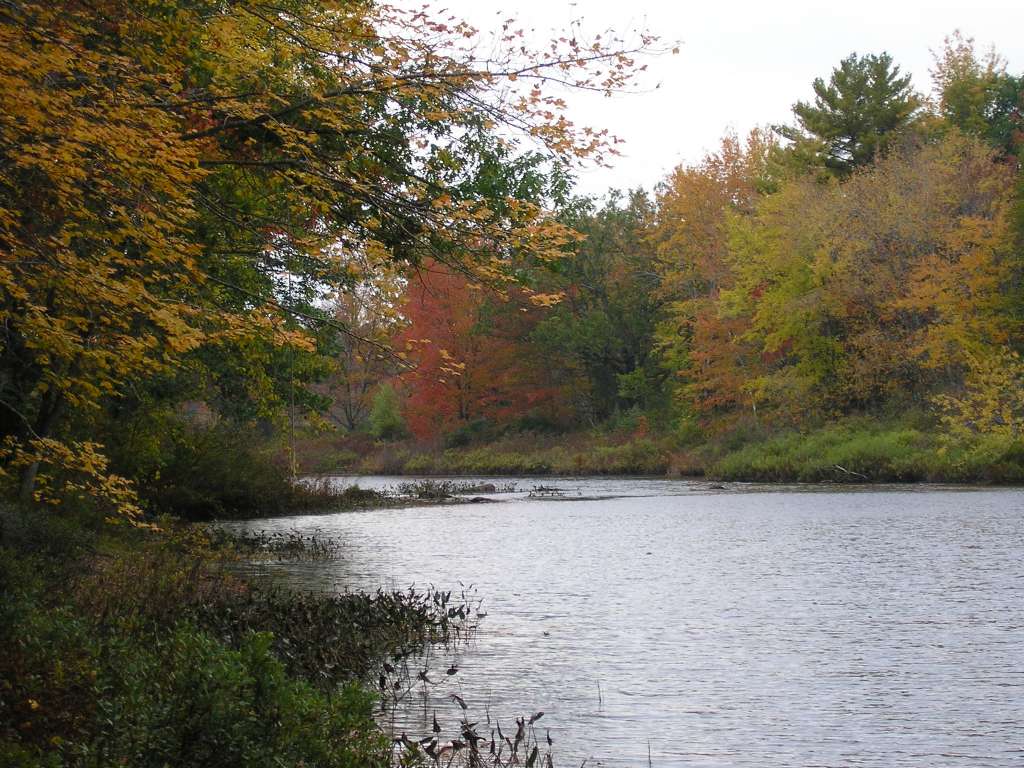
This photo shows Long Pond, near Coopers Mills Road / Somerville Road. This site is located in the Upper Sheepscot sub-basin. Photograph was taken by Eli Asarian on 10/9/2004. |
| CaptionTemplate |
[description] This site is located in the [SubBasin] sub-basin. Photograph was taken by [photographer] on [photodate]. |
| Category |
Watershed Tour |
| Description |
This photo shows Long Pond, near Coopers Mills Road / Somerville Road. |
| Filename |
sheep_2004-10-09_11-02-56.jpg |
| Filesize |
142403 |
| Path |
sheep_ifr_04\sheep_2004-10-09_11-02-56.jpg |
| Photodate |
10/9/2004 |
| Photographer |
Eli Asarian |
| Restriction |
None |
| Series |
Tour- Long Pond 2004 |
| SubBasin |
Upper Sheepscot |
| UpdateDate |
10/20/2004 |
| UpdateName |
JEA |