| Basin |
Sheepscot |
| Caption |
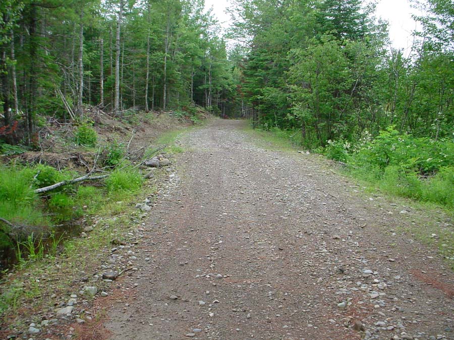
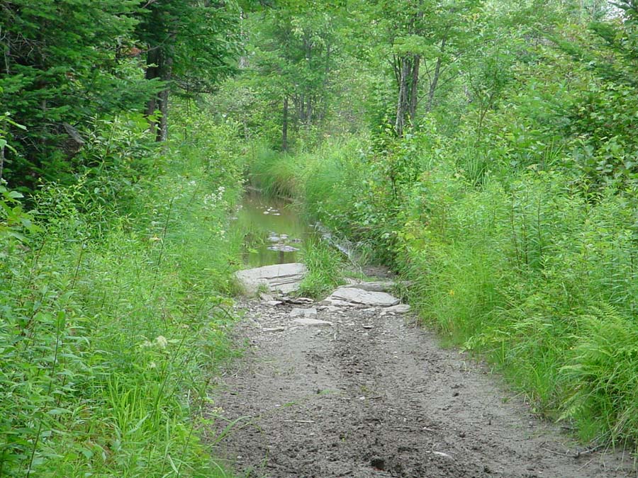
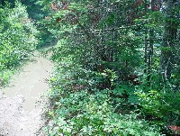
This old county road, which is now privately owned, was severely impacted by ATV use, making in impassable by farm machines. This photo shows an old rock culvert that has collapsed. This area is about 50 feet from the West Branch (on the left). Photo by M. Laser July 2003. |
| CaptionTemplate |
[Description] |
| Category |
Restoration |
| Description |
This old county road, which is now privately owned, was severely impacted by ATV use, making in impassable by farm machines. This photo shows an old rock culvert that has collapsed. This area is about 50 feet from the West Branch (on the left). Photo by M. Laser July 2003. |
| Filename |
wb_orv_b1.jpg |
| Filesize |
175380 |
| Meta_Id |
KCSWCD_pics |
| Notefile |
sheepscot.htm#KCSWCD_pics |
| Path |
ws/wb_orv_b1.jpg |
| Photographer |
Melissa Laser |
| Series |
Restoration- ATV Trail/Farm Access Road in West Br. |
| SubBasin |
West Branch Sheepscot |
| Basin |
Sheepscot |
| Caption |
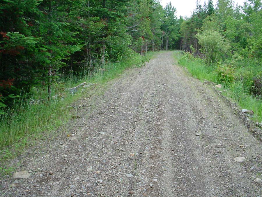
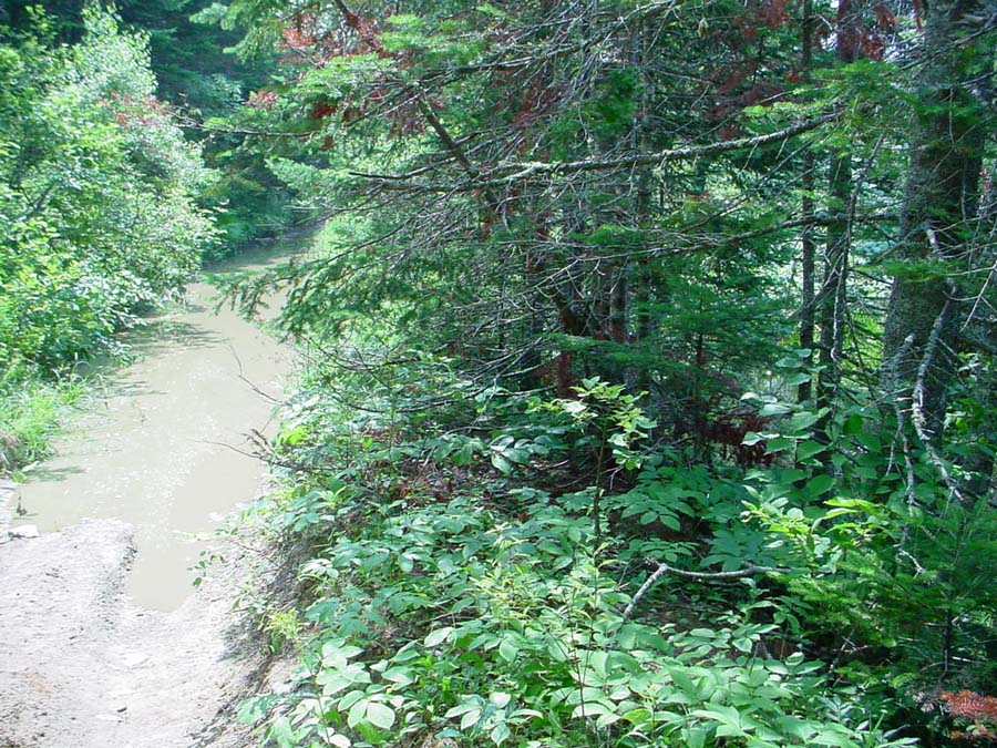
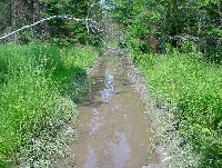
This area of the road is about 30 feet from the West Branch (on the right). The sunken road collects water which is held there by the clay banks. Photo by M. Laser July 2003. |
| CaptionTemplate |
[Description] |
| Category |
Restoration |
| Description |
This area of the road is about 30 feet from the West Branch (on the right). The sunken road collects water which is held there by the clay banks. Photo by M. Laser July 2003. |
| Filename |
wb_orv_b2.jpg |
| Filesize |
194939 |
| Meta_Id |
KCSWCD_pics |
| Notefile |
sheepscot.htm#KCSWCD_pics |
| Path |
ws/wb_orv_b2.jpg |
| Photographer |
Melissa Laser |
| Series |
Restoration- ATV Trail/Farm Access Road in West Br. |
| SubBasin |
West Branch Sheepscot |
| Basin |
Sheepscot |
| Caption |
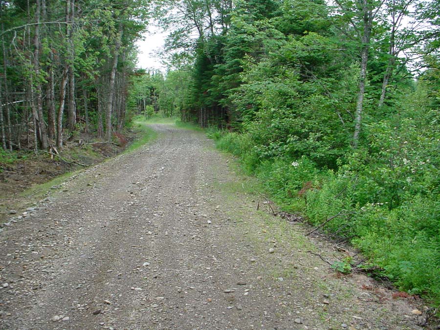
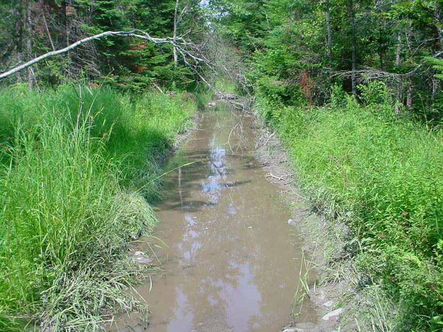
This area of the road is only 10 feet from the West Branch. ATV riders cut holes in the banks of the road to drain the water to the river (on the right). Photo by M. Laser July 2003. |
| CaptionTemplate |
[Description] |
| Category |
Restoration |
| Description |
This area of the road is only 10 feet from the West Branch. ATV riders cut holes in the banks of the road to drain the water to the river (on the right). Photo by M. Laser July 2003. |
| Filename |
wb_orv_b3.jpg |
| Filesize |
214256 |
| Meta_Id |
KCSWCD_pics |
| Notefile |
sheepscot.htm#KCSWCD_pics |
| Path |
ws/wb_orv_b3.jpg |
| Photographer |
Melissa Laser |
| Series |
Restoration- ATV Trail/Farm Access Road in West Br. |
| SubBasin |
West Branch Sheepscot |
| Basin |
Sheepscot |
| Caption |
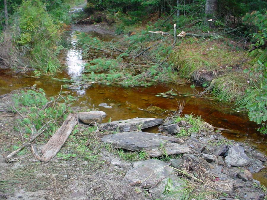
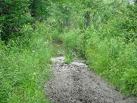
This area of the road is through a wetland. The road is about 100 feet from the river (on the left). Photo by M. Laser July 2003. |
| CaptionTemplate |
[Description] |
| Category |
Restoration |
| Description |
This area of the road is through a wetland. The road is about 100 feet from the river (on the left). Photo by M. Laser July 2003. |
| Filename |
wb_orv_b4.jpg |
| Filesize |
198310 |
| Meta_Id |
KCSWCD_pics |
| Notefile |
sheepscot.htm#KCSWCD_pics |
| Path |
ws/wb_orv_b4.jpg |
| Photographer |
Melissa Laser |
| Series |
Restoration- ATV Trail/Farm Access Road in West Br. |
| SubBasin |
West Branch Sheepscot |