| Agency |
Institute for Fisheries Resources |
| Basin |
Sheepscot |
| Caption |
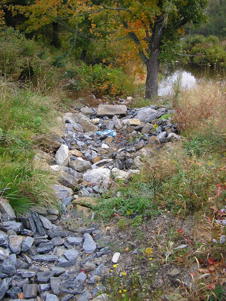
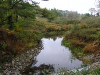
This photograph shows Chamberlain Brook where it crosses under Highway 218, looking downstream. A sediment trap has been constructed to catch road sand. This site is located in the Mainstem Sheepscot sub-basin. Photograph was taken by Eli Asarian on 10/9/2004. |
| CaptionTemplate |
[description] This site is located in the [SubBasin] sub-basin. Photograph was taken by [photographer] on [photodate]. |
| Category |
Watershed Tour |
| Description |
This photograph shows Chamberlain Brook where it crosses under Highway 218, looking downstream. A sediment trap has been constructed to catch road sand. |
| Filename |
sheep_2004-10-09_06-53-44.jpg |
| Filesize |
189445 |
| Path |
sheep_ifr_04\sheep_2004-10-09_06-53-44.jpg |
| Photodate |
10/9/2004 |
| Photographer |
Eli Asarian |
| Restriction |
None |
| Series |
Tour- Chamberlain Brook 2004 |
| SubBasin |
Mainstem Sheepscot |
| UpdateDate |
10/20/2004 |
| UpdateName |
JEA |

| Agency |
Institute for Fisheries Resources |
| Basin |
Sheepscot |
| Caption |
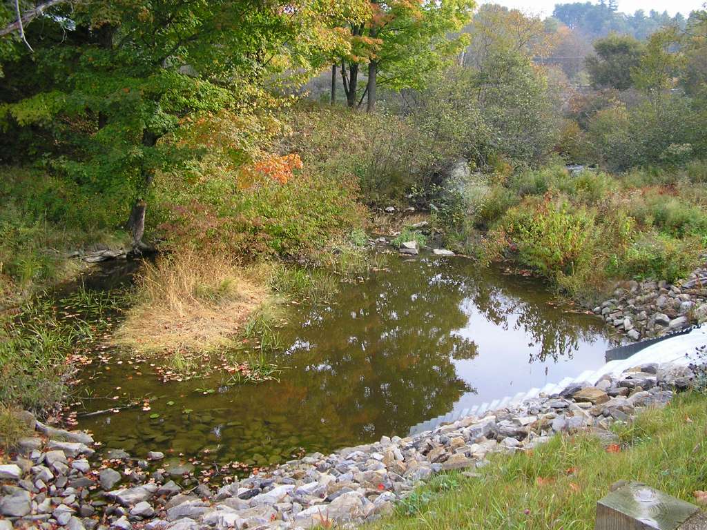
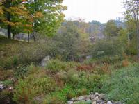
This photograph shows Chamberlain Brook where it crosses under Highway 218, looking upstream. This site is located in the Mainstem Sheepscot sub-basin. Photograph was taken by Eli Asarian on 10/9/2004. |
| CaptionTemplate |
[description] This site is located in the [SubBasin] sub-basin. Photograph was taken by [photographer] on [photodate]. |
| Category |
Watershed Tour |
| Description |
This photograph shows Chamberlain Brook where it crosses under Highway 218, looking upstream. |
| Filename |
sheep_2004-10-09_06-54-10.jpg |
| Filesize |
173115 |
| Path |
sheep_ifr_04\sheep_2004-10-09_06-54-10.jpg |
| Photodate |
10/9/2004 |
| Photographer |
Eli Asarian |
| Restriction |
None |
| Series |
Tour- Chamberlain Brook 2004 |
| SubBasin |
Mainstem Sheepscot |
| UpdateDate |
10/20/2004 |
| UpdateName |
JEA |
| Agency |
Institute for Fisheries Resources |
| Basin |
Sheepscot |
| Caption |
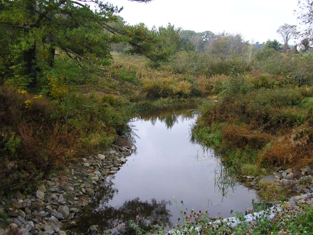
This photograph shows Chamberlain Brook where it crosses under Highway 218, looking upstream. This site is located in the Mainstem Sheepscot sub-basin. Photograph was taken by Eli Asarian on 10/9/2004. |
| CaptionTemplate |
[description] This site is located in the [SubBasin] sub-basin. Photograph was taken by [photographer] on [photodate]. |
| Category |
Watershed Tour |
| Description |
This photograph shows Chamberlain Brook where it crosses under Highway 218, looking upstream. |
| Filename |
sheep_2004-10-09_06-54-40.jpg |
| Filesize |
130134 |
| Path |
sheep_ifr_04\sheep_2004-10-09_06-54-40.jpg |
| Photodate |
10/9/2004 |
| Photographer |
Eli Asarian |
| Restriction |
None |
| Series |
Tour- Chamberlain Brook 2004 |
| SubBasin |
Mainstem Sheepscot |
| UpdateDate |
10/20/2004 |
| UpdateName |
JEA |
| Agency |
Institute for Fisheries Resources |
| Basin |
Sheepscot |
| Caption |
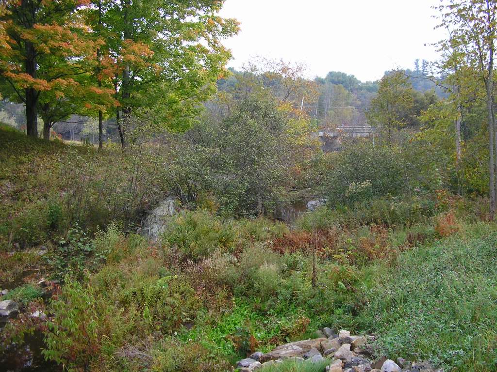
This photograph shows Chamberlain Brook where it crosses under Highway 218, looking upstream. This site is located in the Mainstem Sheepscot sub-basin. Photograph was taken by Eli Asarian on 10/9/2004. |
| CaptionTemplate |
[description] This site is located in the [SubBasin] sub-basin. Photograph was taken by [photographer] on [photodate]. |
| Category |
Watershed Tour |
| Description |
This photograph shows Chamberlain Brook where it crosses under Highway 218, looking upstream. |
| Filename |
sheep_2004-10-09_06-55-33.jpg |
| Filesize |
169985 |
| Path |
sheep_ifr_04\sheep_2004-10-09_06-55-33.jpg |
| Photodate |
10/9/2004 |
| Photographer |
Eli Asarian |
| Restriction |
None |
| Series |
Tour- Chamberlain Brook 2004 |
| SubBasin |
Mainstem Sheepscot |
| UpdateDate |
10/20/2004 |
| UpdateName |
JEA |