| Agency |
Institute for Fisheries Resources |
| Basin |
Sheepscot |
| Caption |
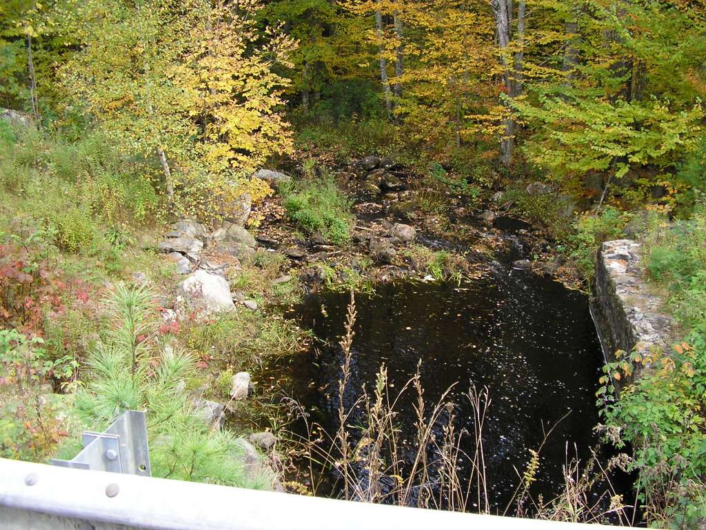
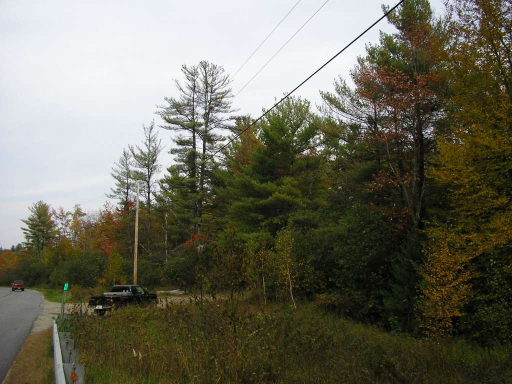
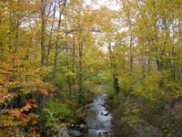
This photo shows Travel Brook where it crosses Coopers Mills Road / Somerville Road. This site is located in the Upper Sheepscot sub-basin. Photograph was taken by Eli Asarian on 10/9/2004. |
| CaptionTemplate |
[description] This site is located in the [SubBasin] sub-basin. Photograph was taken by [photographer] on [photodate]. |
| Category |
Watershed Tour |
| Description |
This photo shows Travel Brook where it crosses Coopers Mills Road / Somerville Road. |
| Filename |
sheep_2004-10-09_10-57-13.jpg |
| Filesize |
198372 |
| Path |
sheep_ifr_04\sheep_2004-10-09_10-57-13.jpg |
| Photodate |
10/9/2004 |
| Photographer |
Eli Asarian |
| Restriction |
None |
| Series |
Tour- Travel Brook 2004 |
| SubBasin |
Upper Sheepscot |
| UpdateDate |
10/20/2004 |
| UpdateName |
JEA |
| Agency |
Institute for Fisheries Resources |
| Basin |
Sheepscot |
| Caption |
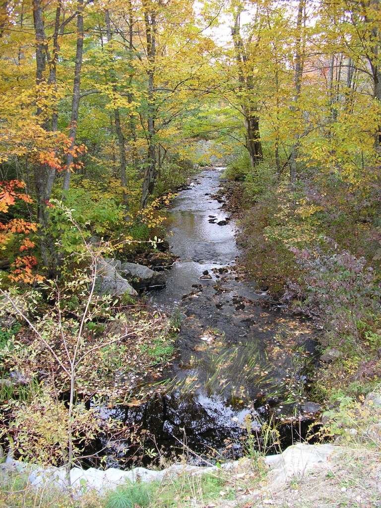
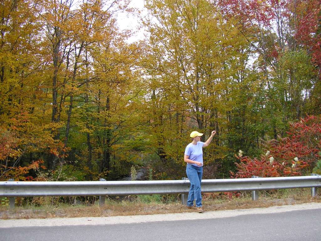
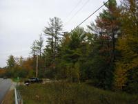
This photo shows Travel Brook where it crosses Coopers Mills Road / Somerville Road. This site is located in the Upper Sheepscot sub-basin. Photograph was taken by Eli Asarian on 10/9/2004. |
| CaptionTemplate |
[description] This site is located in the [SubBasin] sub-basin. Photograph was taken by [photographer] on [photodate]. |
| Category |
Watershed Tour |
| Description |
This photo shows Travel Brook where it crosses Coopers Mills Road / Somerville Road. |
| Filename |
sheep_2004-10-09_10-57-25.jpg |
| Filesize |
206178 |
| Path |
sheep_ifr_04\sheep_2004-10-09_10-57-25.jpg |
| Photodate |
10/9/2004 |
| Photographer |
Eli Asarian |
| Restriction |
None |
| Series |
Tour- Travel Brook 2004 |
| SubBasin |
Upper Sheepscot |
| UpdateDate |
10/20/2004 |
| UpdateName |
JEA |
| Agency |
Institute for Fisheries Resources |
| Basin |
Sheepscot |
| Caption |
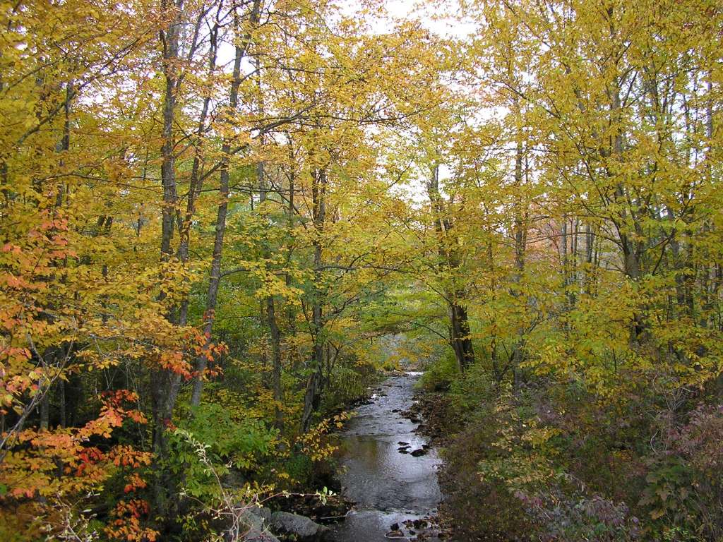
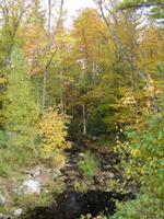
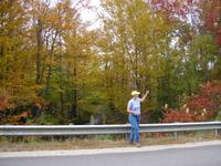
This photo shows Travel Brook where it crosses Coopers Mills Road / Somerville Road. This site is located in the Upper Sheepscot sub-basin. Photograph was taken by Eli Asarian on 10/9/2004. |
| CaptionTemplate |
[description] This site is located in the [SubBasin] sub-basin. Photograph was taken by [photographer] on [photodate]. |
| Category |
Watershed Tour |
| Description |
This photo shows Travel Brook where it crosses Coopers Mills Road / Somerville Road. |
| Filename |
sheep_2004-10-09_10-57-40.jpg |
| Filesize |
218671 |
| Path |
sheep_ifr_04\sheep_2004-10-09_10-57-40.jpg |
| Photodate |
10/9/2004 |
| Photographer |
Eli Asarian |
| Restriction |
None |
| Series |
Tour- Travel Brook 2004 |
| SubBasin |
Upper Sheepscot |
| UpdateDate |
10/20/2004 |
| UpdateName |
JEA |
| Agency |
Institute for Fisheries Resources |
| Basin |
Sheepscot |
| Caption |
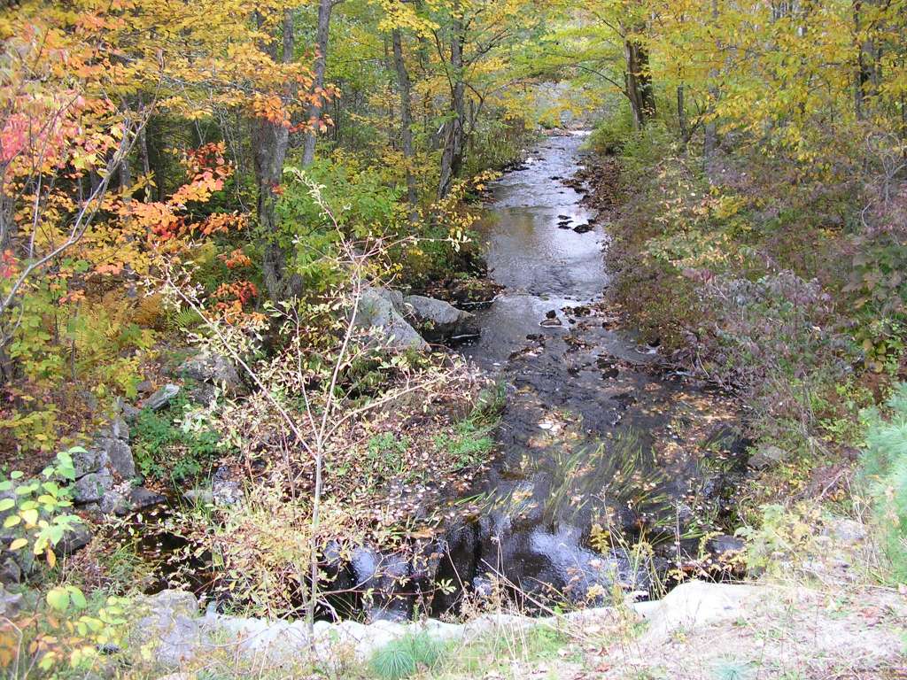
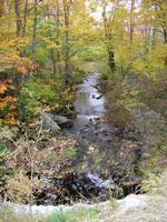
This photo shows Travel Brook where it crosses Coopers Mills Road / Somerville Road. This site is located in the Upper Sheepscot sub-basin. Photograph was taken by Eli Asarian on 10/9/2004. |
| CaptionTemplate |
[description] This site is located in the [SubBasin] sub-basin. Photograph was taken by [photographer] on [photodate]. |
| Category |
Watershed Tour |
| Description |
This photo shows Travel Brook where it crosses Coopers Mills Road / Somerville Road. |
| Filename |
sheep_2004-10-09_10-57-49.jpg |
| Filesize |
205607 |
| Path |
sheep_ifr_04\sheep_2004-10-09_10-57-49.jpg |
| Photodate |
10/9/2004 |
| Photographer |
Eli Asarian |
| Restriction |
None |
| Series |
Tour- Travel Brook 2004 |
| SubBasin |
Upper Sheepscot |
| UpdateDate |
10/20/2004 |
| UpdateName |
JEA |

| Agency |
Institute for Fisheries Resources |
| Basin |
Sheepscot |
| Caption |
This photo shows Travel Brook where it crosses Coopers Mills Road / Somerville Road. This site is located in the Upper Sheepscot sub-basin. Photograph was taken by Eli Asarian on 10/9/2004. |
| CaptionTemplate |
[description] This site is located in the [SubBasin] sub-basin. Photograph was taken by [photographer] on [photodate]. |
| Category |
Watershed Tour |
| Description |
This photo shows Travel Brook where it crosses Coopers Mills Road / Somerville Road. |
| Filename |
sheep_2004-10-09_10-57-58.jpg |
| Filesize |
211415 |
| Path |
sheep_ifr_04\sheep_2004-10-09_10-57-58.jpg |
| Photodate |
10/9/2004 |
| Photographer |
Eli Asarian |
| Restriction |
None |
| Series |
Tour- Travel Brook 2004 |
| SubBasin |
Upper Sheepscot |
| UpdateDate |
10/20/2004 |
| UpdateName |
JEA |
| Agency |
Institute for Fisheries Resources |
| Basin |
Sheepscot |
| Caption |
This photo shows Travel Brook where it crosses Coopers Mills Road / Somerville Road. This site is located in the Upper Sheepscot sub-basin. Photograph was taken by Eli Asarian on 10/9/2004. |
| CaptionTemplate |
[description] This site is located in the [SubBasin] sub-basin. Photograph was taken by [photographer] on [photodate]. |
| Category |
Watershed Tour |
| Description |
This photo shows Travel Brook where it crosses Coopers Mills Road / Somerville Road. |
| Filename |
sheep_2004-10-09_10-58-16.jpg |
| Filesize |
110217 |
| Path |
sheep_ifr_04\sheep_2004-10-09_10-58-16.jpg |
| Photodate |
10/9/2004 |
| Photographer |
Eli Asarian |
| Restriction |
None |
| Series |
Tour- Travel Brook 2004 |
| SubBasin |
Upper Sheepscot |
| UpdateDate |
10/20/2004 |
| UpdateName |
JEA |
| Agency |
Institute for Fisheries Resources |
| Basin |
Sheepscot |
| Caption |
This photo shows Travel Brook where it crosses Coopers Mills Road / Somerville Road. This site is located in the Upper Sheepscot sub-basin. Photograph was taken by Eli Asarian on 10/9/2004. |
| CaptionTemplate |
[description] This site is located in the [SubBasin] sub-basin. Photograph was taken by [photographer] on [photodate]. |
| Category |
Watershed Tour |
| Description |
This photo shows Travel Brook where it crosses Coopers Mills Road / Somerville Road. |
| Filename |
sheep_2004-10-09_10-58-30.jpg |
| Filesize |
184812 |
| Path |
sheep_ifr_04\sheep_2004-10-09_10-58-30.jpg |
| Photodate |
10/9/2004 |
| Photographer |
Eli Asarian |
| Restriction |
None |
| Series |
Tour- Travel Brook 2004 |
| SubBasin |
Upper Sheepscot |
| UpdateDate |
10/20/2004 |
| UpdateName |
JEA |