| Agency |
Institute for Fisheries Resources |
| Basin |
Sheepscot |
| Caption |
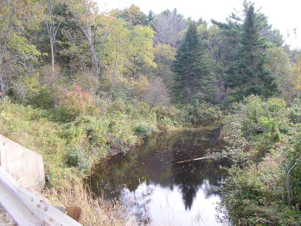
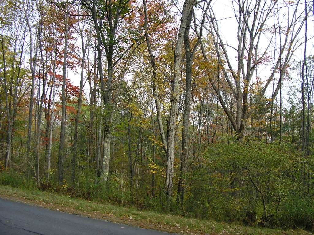
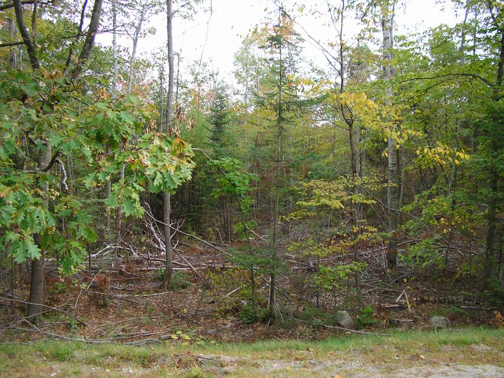
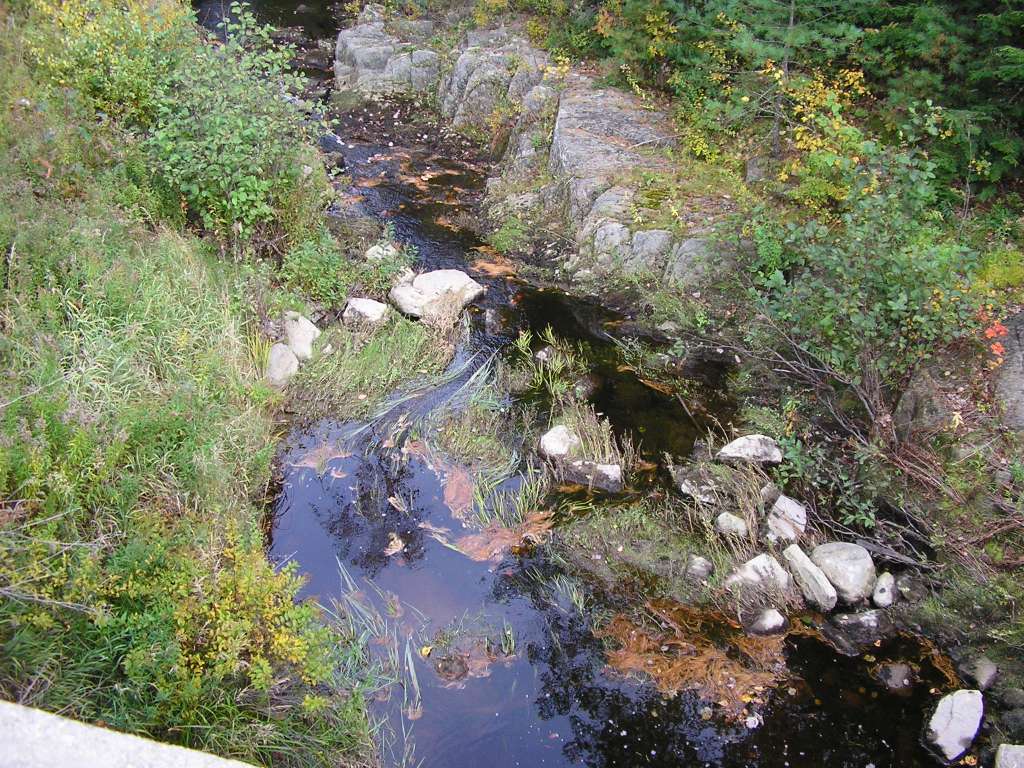
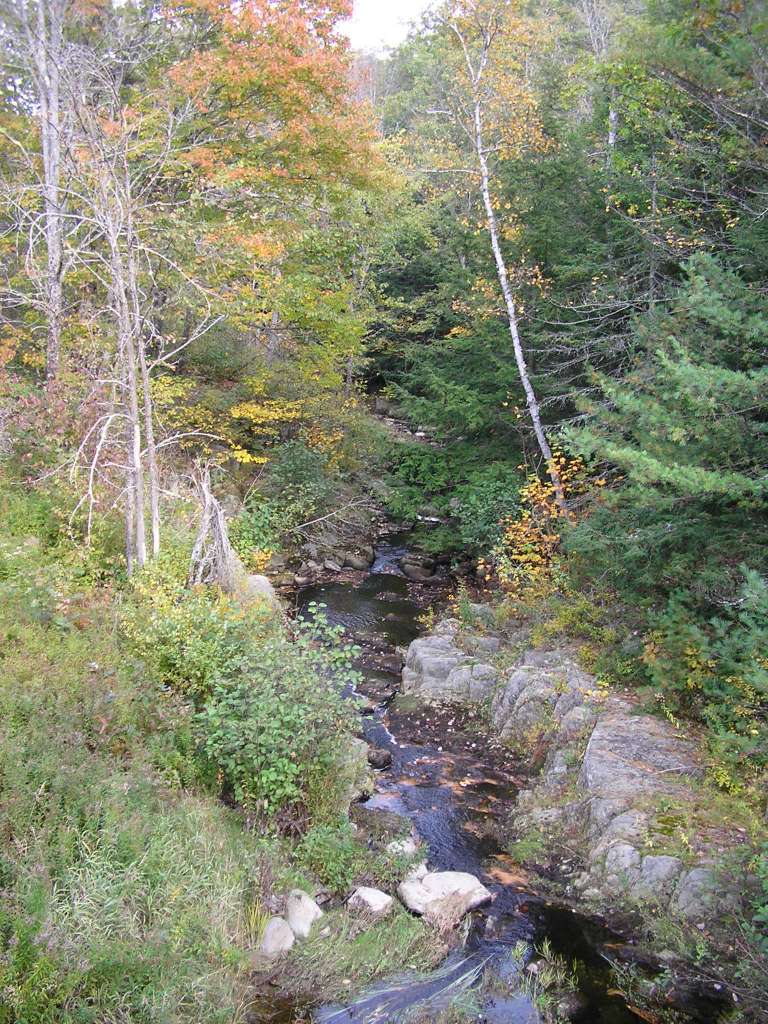
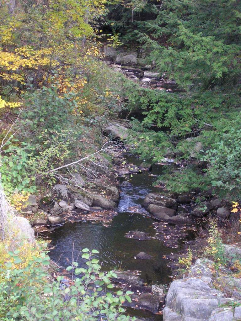
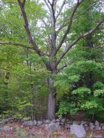
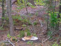
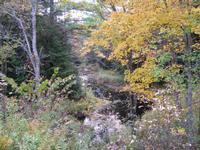
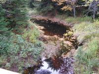
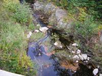
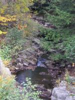
This photo shows a scene in the Trout Brook watershed along West Alna Road. This site is located in the Below Head Tide sub-basin. Photograph was taken by Eli Asarian on 10/9/2004. |
| CaptionTemplate |
[description] This site is located in the [SubBasin] sub-basin. Photograph was taken by [photographer] on [photodate]. |
| Category |
Watershed Tour |
| Description |
This photo shows a scene in the Trout Brook watershed along West Alna Road. |
| Filename |
sheep_2004-10-09_12-06-38.jpg |
| Filesize |
193499 |
| Path |
sheep_ifr_04\sheep_2004-10-09_12-06-38.jpg |
| Photodate |
10/9/2004 |
| Photographer |
Eli Asarian |
| Restriction |
None |
| Series |
Tour- Trout Brook Watershed 2004 |
| SubBasin |
Below Head Tide |
| UpdateDate |
10/20/2004 |
| UpdateName |
JEA |

| Agency |
Institute for Fisheries Resources |
| Basin |
Sheepscot |
| Caption |
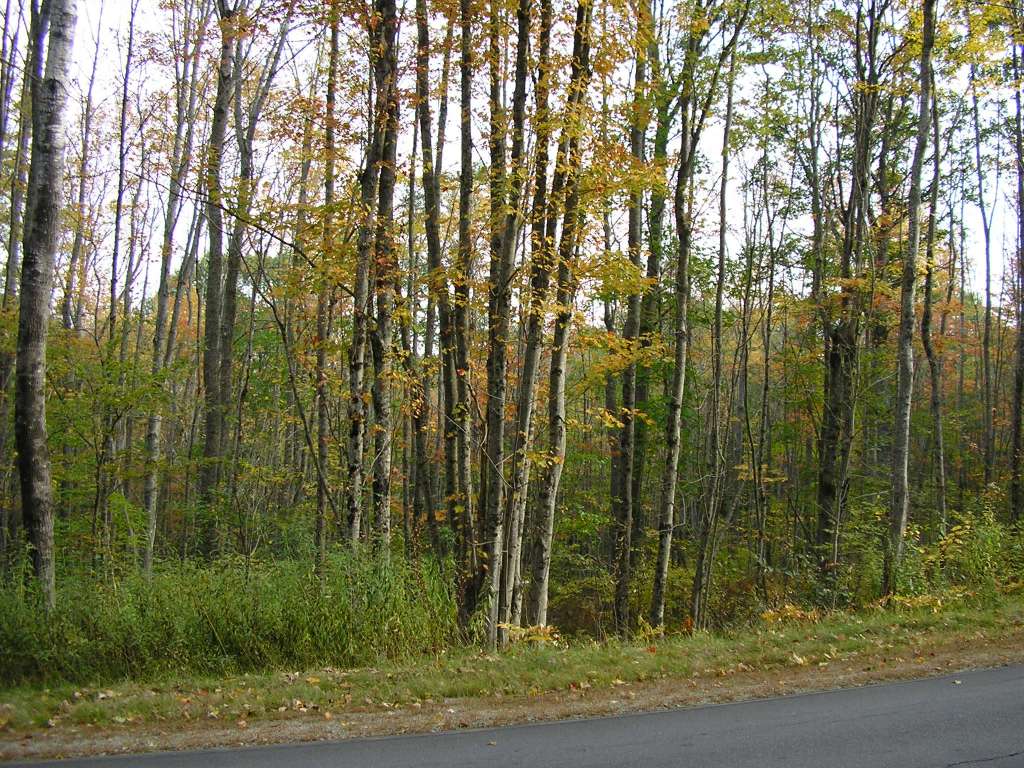
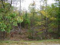
This photo shows a scene in the Trout Brook watershed along West Alna Road. This site is located in the Below Head Tide sub-basin. Photograph was taken by Eli Asarian on 10/9/2004. |
| CaptionTemplate |
[description] This site is located in the [SubBasin] sub-basin. Photograph was taken by [photographer] on [photodate]. |
| Category |
Watershed Tour |
| Description |
This photo shows a scene in the Trout Brook watershed along West Alna Road. |
| Filename |
sheep_2004-10-09_12-06-43.jpg |
| Filesize |
197429 |
| Path |
sheep_ifr_04\sheep_2004-10-09_12-06-43.jpg |
| Photodate |
10/9/2004 |
| Photographer |
Eli Asarian |
| Restriction |
None |
| Series |
Tour- Trout Brook Watershed 2004 |
| SubBasin |
Below Head Tide |
| UpdateDate |
10/20/2004 |
| UpdateName |
JEA |
| Agency |
Institute for Fisheries Resources |
| Basin |
Sheepscot |
| Caption |
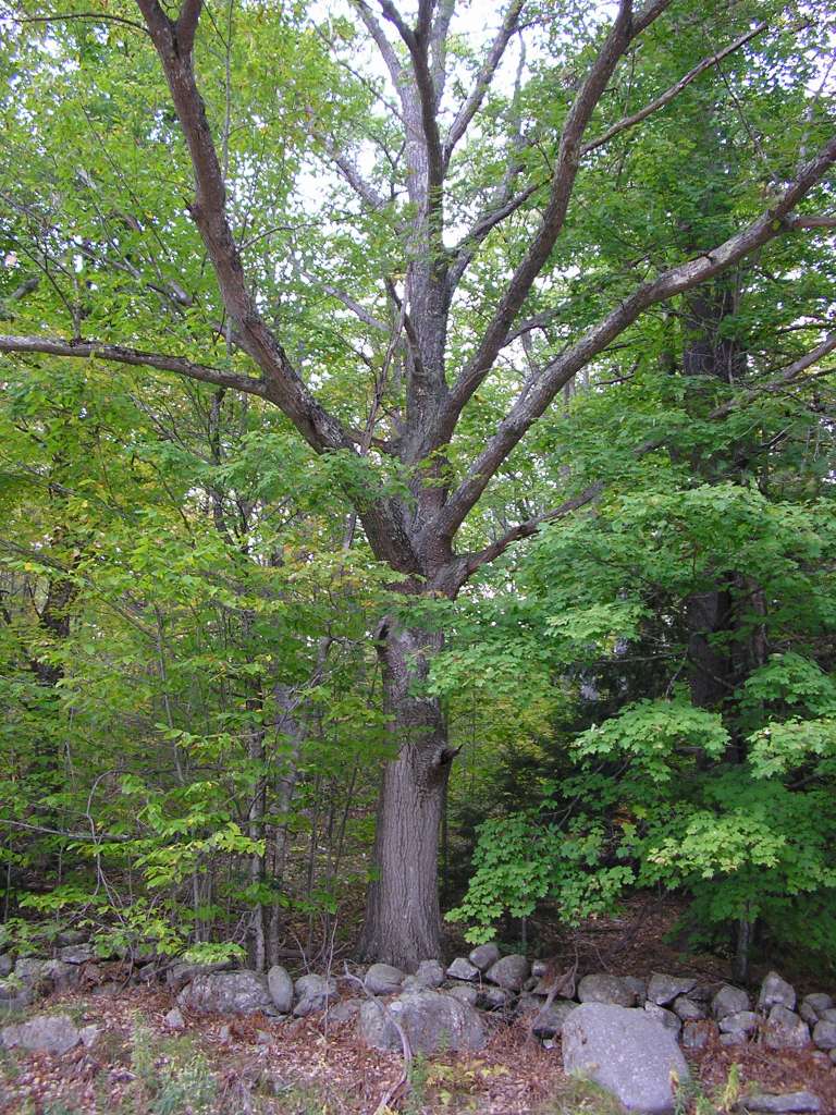
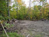
This photo shows a scene in the Trout Brook watershed along West Alna Road. This site is located in the Below Head Tide sub-basin. Photograph was taken by Eli Asarian on 10/9/2004. |
| CaptionTemplate |
[description] This site is located in the [SubBasin] sub-basin. Photograph was taken by [photographer] on [photodate]. |
| Category |
Watershed Tour |
| Description |
This photo shows a scene in the Trout Brook watershed along West Alna Road. |
| Filename |
sheep_2004-10-09_12-07-12.jpg |
| Filesize |
187655 |
| Path |
sheep_ifr_04\sheep_2004-10-09_12-07-12.jpg |
| Photodate |
10/9/2004 |
| Photographer |
Eli Asarian |
| Restriction |
None |
| Series |
Tour- Trout Brook Watershed 2004 |
| SubBasin |
Below Head Tide |
| UpdateDate |
10/20/2004 |
| UpdateName |
JEA |
| Agency |
Institute for Fisheries Resources |
| Basin |
Sheepscot |
| Caption |
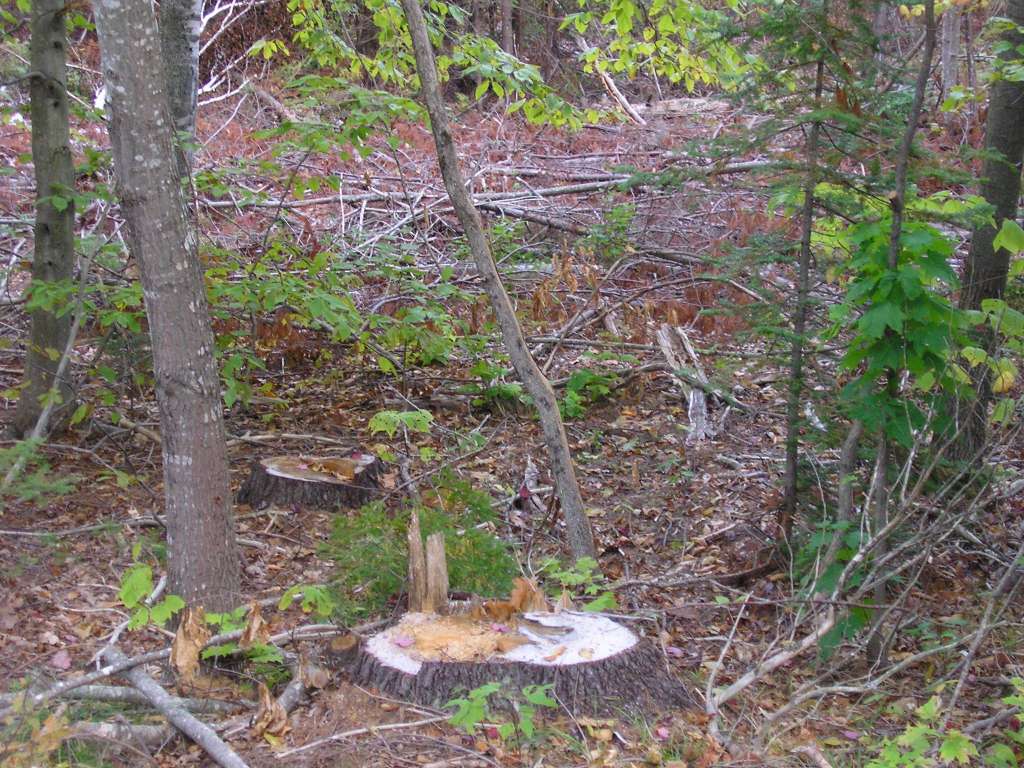
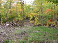
This photo shows a scene in the Trout Brook watershed along West Alna Road. This site is located in the Below Head Tide sub-basin. Photograph was taken by Eli Asarian on 10/9/2004. |
| CaptionTemplate |
[description] This site is located in the [SubBasin] sub-basin. Photograph was taken by [photographer] on [photodate]. |
| Category |
Watershed Tour |
| Description |
This photo shows a scene in the Trout Brook watershed along West Alna Road. |
| Filename |
sheep_2004-10-09_12-09-11.jpg |
| Filesize |
165379 |
| Path |
sheep_ifr_04\sheep_2004-10-09_12-09-11.jpg |
| Photodate |
10/9/2004 |
| Photographer |
Eli Asarian |
| Restriction |
None |
| Series |
Tour- Trout Brook Watershed 2004 |
| SubBasin |
Below Head Tide |
| UpdateDate |
10/20/2004 |
| UpdateName |
JEA |
| Agency |
Institute for Fisheries Resources |
| Basin |
Sheepscot |
| Caption |
This photo shows a scene in the Trout Brook watershed along West Alna Road. This site is located in the Below Head Tide sub-basin. Photograph was taken by Eli Asarian on 10/9/2004. |
| CaptionTemplate |
[description] This site is located in the [SubBasin] sub-basin. Photograph was taken by [photographer] on [photodate]. |
| Category |
Watershed Tour |
| Description |
This photo shows a scene in the Trout Brook watershed along West Alna Road. |
| Filename |
sheep_2004-10-09_12-09-33.jpg |
| Filesize |
182667 |
| Path |
sheep_ifr_04\sheep_2004-10-09_12-09-33.jpg |
| Photodate |
10/9/2004 |
| Photographer |
Eli Asarian |
| Restriction |
None |
| Series |
Tour- Trout Brook Watershed 2004 |
| SubBasin |
Below Head Tide |
| UpdateDate |
10/20/2004 |
| UpdateName |
JEA |
| Agency |
Institute for Fisheries Resources |
| Basin |
Sheepscot |
| Caption |
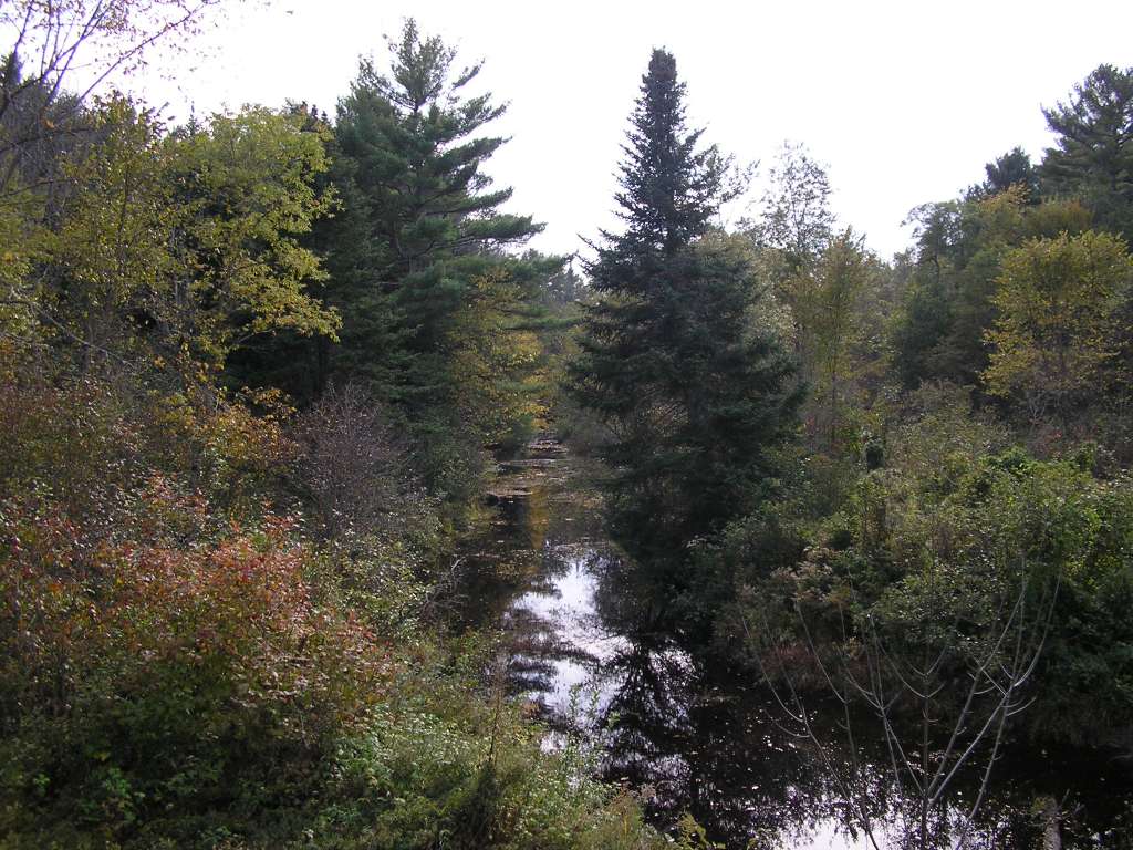
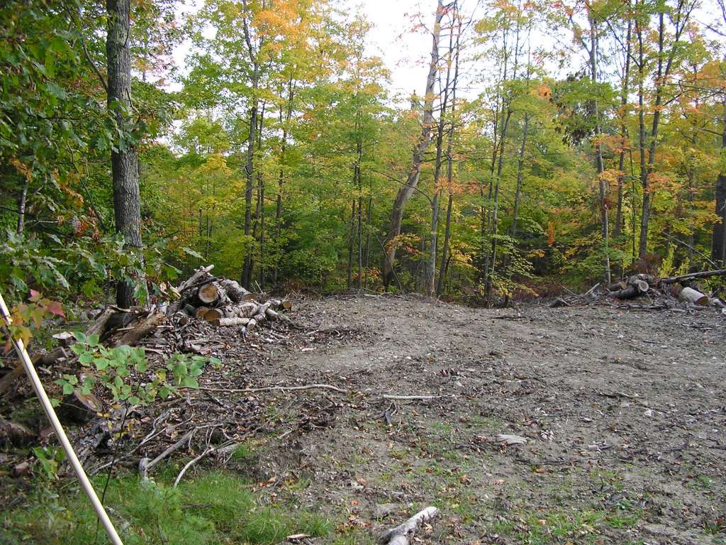
This photo shows a scene in the Trout Brook watershed along West Alna Road. This site is located in the Below Head Tide sub-basin. Photograph was taken by Eli Asarian on 10/9/2004. |
| CaptionTemplate |
[description] This site is located in the [SubBasin] sub-basin. Photograph was taken by [photographer] on [photodate]. |
| Category |
Watershed Tour |
| Description |
This photo shows a scene in the Trout Brook watershed along West Alna Road. |
| Filename |
sheep_2004-10-09_12-10-55.jpg |
| Filesize |
204790 |
| Path |
sheep_ifr_04\sheep_2004-10-09_12-10-55.jpg |
| Photodate |
10/9/2004 |
| Photographer |
Eli Asarian |
| Restriction |
None |
| Series |
Tour- Trout Brook Watershed 2004 |
| SubBasin |
Below Head Tide |
| UpdateDate |
10/20/2004 |
| UpdateName |
JEA |
| Agency |
Institute for Fisheries Resources |
| Basin |
Sheepscot |
| Caption |
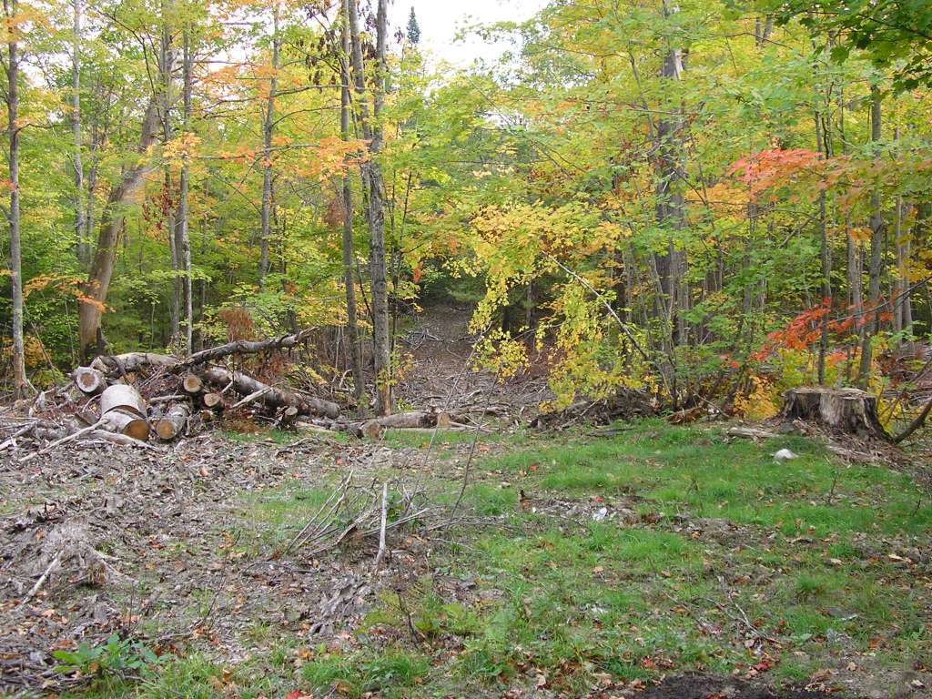
This photo shows a scene in the Trout Brook watershed along West Alna Road. This site is located in the Below Head Tide sub-basin. Photograph was taken by Eli Asarian on 10/9/2004. |
| CaptionTemplate |
[description] This site is located in the [SubBasin] sub-basin. Photograph was taken by [photographer] on [photodate]. |
| Category |
Watershed Tour |
| Description |
This photo shows a scene in the Trout Brook watershed along West Alna Road. |
| Filename |
sheep_2004-10-09_12-11-41.jpg |
| Filesize |
206391 |
| Path |
sheep_ifr_04\sheep_2004-10-09_12-11-41.jpg |
| Photodate |
10/9/2004 |
| Photographer |
Eli Asarian |
| Restriction |
None |
| Series |
Tour- Trout Brook Watershed 2004 |
| SubBasin |
Below Head Tide |
| UpdateDate |
10/20/2004 |
| UpdateName |
JEA |
| Agency |
Institute for Fisheries Resources |
| Basin |
Sheepscot |
| Caption |
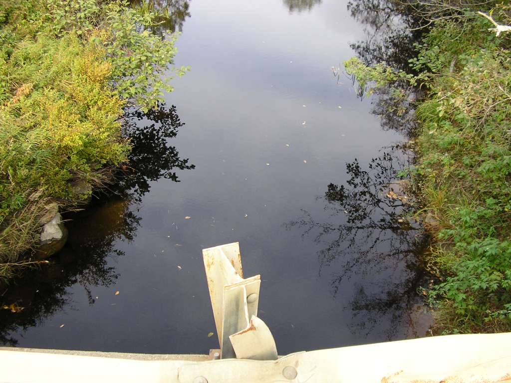
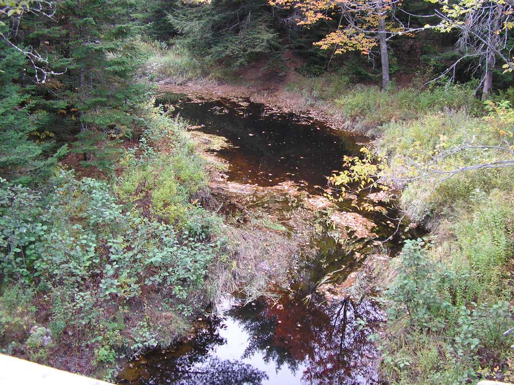
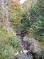
This photo shows Trout Brook where it crosses West Alna Road. This site is located in the Below Head Tide sub-basin. Photograph was taken by Eli Asarian on 10/9/2004. |
| CaptionTemplate |
[description] This site is located in the [SubBasin] sub-basin. Photograph was taken by [photographer] on [photodate]. |
| Category |
Watershed Tour |
| Description |
This photo shows Trout Brook where it crosses West Alna Road. |
| Filename |
sheep_2004-10-09_12-16-37.jpg |
| Filesize |
218422 |
| Path |
sheep_ifr_04\sheep_2004-10-09_12-16-37.jpg |
| Photodate |
10/9/2004 |
| Photographer |
Eli Asarian |
| Restriction |
None |
| Series |
Tour- Trout Brook Watershed 2004 |
| SubBasin |
Below Head Tide |
| UpdateDate |
10/20/2004 |
| UpdateName |
JEA |
| Agency |
Institute for Fisheries Resources |
| Basin |
Sheepscot |
| Caption |
This photo shows Trout Brook where it crosses West Alna Road. This site is located in the Below Head Tide sub-basin. Photograph was taken by Eli Asarian on 10/9/2004. |
| CaptionTemplate |
[description] This site is located in the [SubBasin] sub-basin. Photograph was taken by [photographer] on [photodate]. |
| Category |
Watershed Tour |
| Description |
This photo shows Trout Brook where it crosses West Alna Road. |
| Filename |
sheep_2004-10-09_12-17-04.jpg |
| Filesize |
199962 |
| Path |
sheep_ifr_04\sheep_2004-10-09_12-17-04.jpg |
| Photodate |
10/9/2004 |
| Photographer |
Eli Asarian |
| Restriction |
None |
| Series |
Tour- Trout Brook Watershed 2004 |
| SubBasin |
Below Head Tide |
| UpdateDate |
10/20/2004 |
| UpdateName |
JEA |
| Agency |
Institute for Fisheries Resources |
| Basin |
Sheepscot |
| Caption |
This photo shows Trout Brook where it crosses West Alna Road. This site is located in the Below Head Tide sub-basin. Photograph was taken by Eli Asarian on 10/9/2004. |
| CaptionTemplate |
[description] This site is located in the [SubBasin] sub-basin. Photograph was taken by [photographer] on [photodate]. |
| Category |
Watershed Tour |
| Description |
This photo shows Trout Brook where it crosses West Alna Road. |
| Filename |
sheep_2004-10-09_12-17-26.jpg |
| Filesize |
193330 |
| Path |
sheep_ifr_04\sheep_2004-10-09_12-17-26.jpg |
| Photodate |
10/9/2004 |
| Photographer |
Eli Asarian |
| Restriction |
None |
| Series |
Tour- Trout Brook Watershed 2004 |
| SubBasin |
Below Head Tide |
| UpdateDate |
10/20/2004 |
| UpdateName |
JEA |
| Agency |
Institute for Fisheries Resources |
| Basin |
Sheepscot |
| Caption |
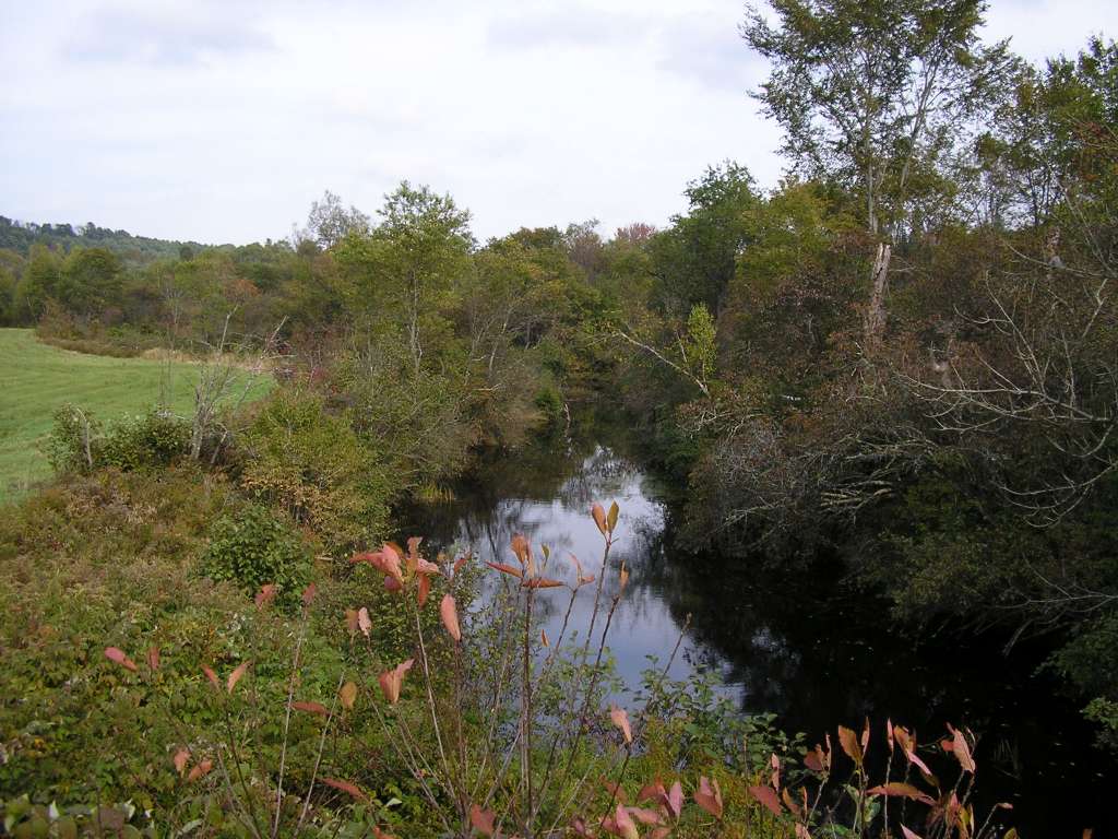
This photo shows Trout Brook where it crosses West Alna Road. This site is located in the Below Head Tide sub-basin. Photograph was taken by Eli Asarian on 10/9/2004. |
| CaptionTemplate |
[description] This site is located in the [SubBasin] sub-basin. Photograph was taken by [photographer] on [photodate]. |
| Category |
Watershed Tour |
| Description |
This photo shows Trout Brook where it crosses West Alna Road. |
| Filename |
sheep_2004-10-09_12-17-47.jpg |
| Filesize |
192964 |
| Path |
sheep_ifr_04\sheep_2004-10-09_12-17-47.jpg |
| Photodate |
10/9/2004 |
| Photographer |
Eli Asarian |
| Restriction |
None |
| Series |
Tour- Trout Brook Watershed 2004 |
| SubBasin |
Below Head Tide |
| UpdateDate |
10/20/2004 |
| UpdateName |
JEA |
| Agency |
Institute for Fisheries Resources |
| Basin |
Sheepscot |
| Caption |
This photo shows Trout Brook where it crosses West Alna Road. This site is located in the Below Head Tide sub-basin. Photograph was taken by Eli Asarian on 10/9/2004. |
| CaptionTemplate |
[description] This site is located in the [SubBasin] sub-basin. Photograph was taken by [photographer] on [photodate]. |
| Category |
Watershed Tour |
| Description |
This photo shows Trout Brook where it crosses West Alna Road. |
| Filename |
sheep_2004-10-09_12-17-58.jpg |
| Filesize |
164222 |
| Path |
sheep_ifr_04\sheep_2004-10-09_12-17-58.jpg |
| Photodate |
10/9/2004 |
| Photographer |
Eli Asarian |
| Restriction |
None |
| Series |
Tour- Trout Brook Watershed 2004 |
| SubBasin |
Below Head Tide |
| UpdateDate |
10/20/2004 |
| UpdateName |
JEA |