| Agency |
Institute for Fisheries Resources |
| Basin |
Sheepscot |
| Caption |
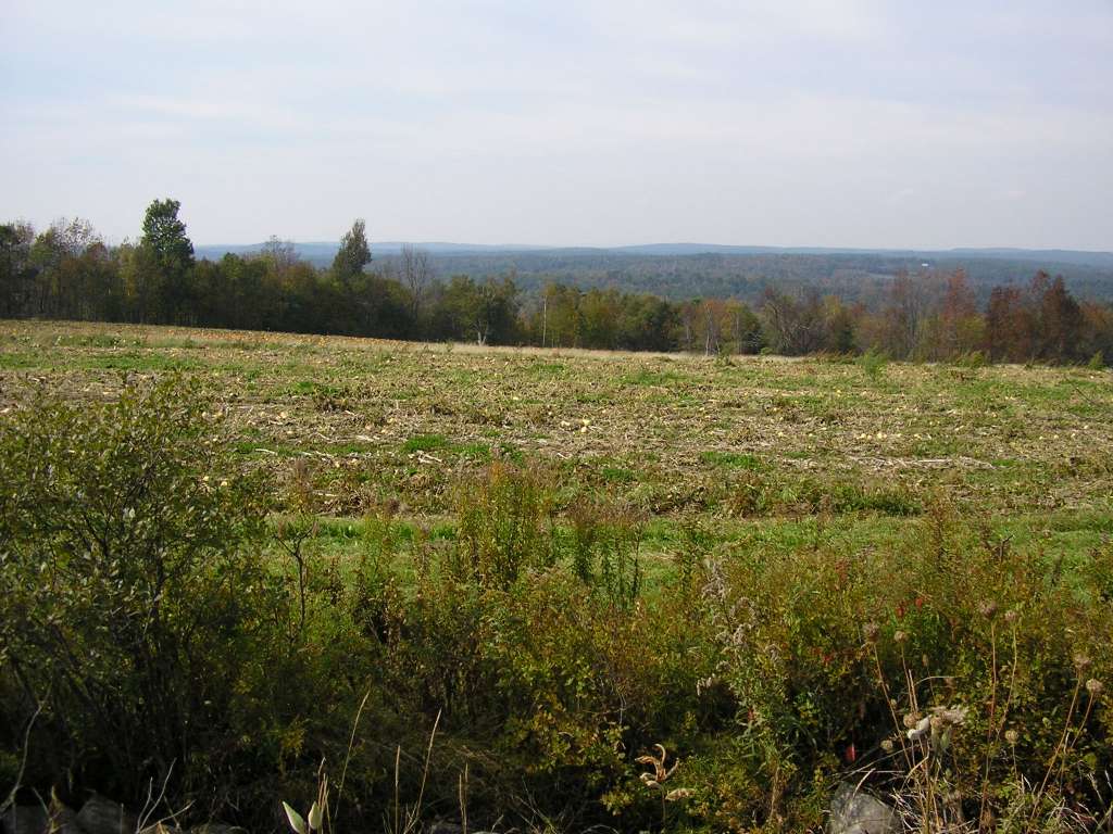
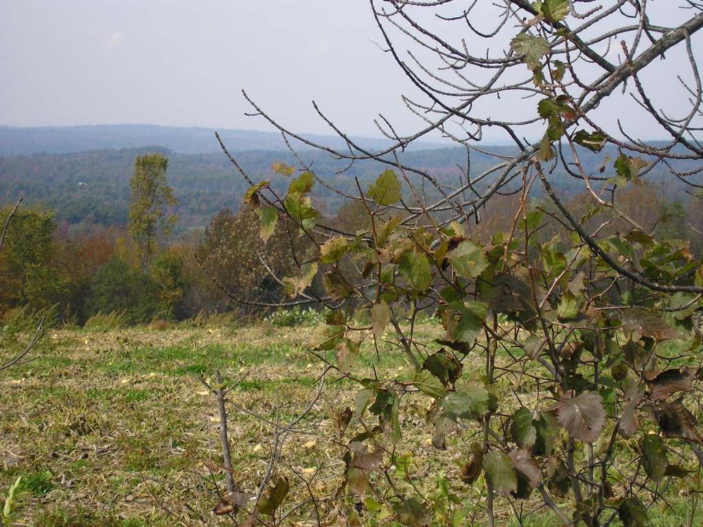
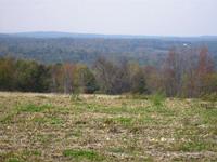
This photo shows a farm scene along Windsor Neck Road, between Windsor Station and Weeks Mills. The West Branch Sheepscot River is at the bottom of the valley, but is not visible in this picture. This site is located in the West Branch Sheepscot sub-basin. Photograph was taken by Eli Asarian on 10/9/2004. |
| CaptionTemplate |
[description] This site is located in the [SubBasin] sub-basin. Photograph was taken by [photographer] on [photodate]. |
| Category |
Watershed Tour |
| Description |
This photo shows a farm scene along Windsor Neck Road, between Windsor Station and Weeks Mills. The West Branch Sheepscot River is at the bottom of the valley, but is not visible in this picture. |
| Filename |
sheep_2004-10-09_09-11-05.jpg |
| Filesize |
124209 |
| Path |
sheep_ifr_04\sheep_2004-10-09_09-11-05.jpg |
| Photodate |
10/9/2004 |
| Photographer |
Eli Asarian |
| Restriction |
None |
| Series |
Tour- West Br. Sheepscot Landscape Photos 2004 |
| SubBasin |
West Branch Sheepscot |
| UpdateDate |
10/20/2004 |
| UpdateName |
JEA |
| Agency |
Institute for Fisheries Resources |
| Basin |
Sheepscot |
| Caption |
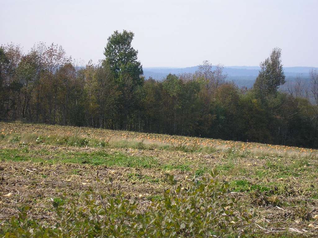
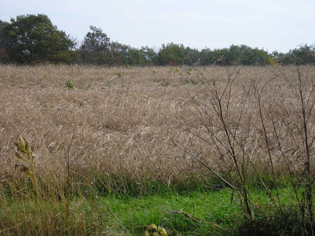
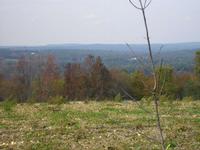
This photo shows a farm scene along Windsor Neck Road, between Windsor Station and Weeks Mills. The West Branch Sheepscot River is at the bottom of the valley, but is not visible in this picture. This site is located in the West Branch Sheepscot sub-basin. Photograph was taken by Eli Asarian on 10/9/2004. |
| CaptionTemplate |
[description] This site is located in the [SubBasin] sub-basin. Photograph was taken by [photographer] on [photodate]. |
| Category |
Watershed Tour |
| Description |
This photo shows a farm scene along Windsor Neck Road, between Windsor Station and Weeks Mills. The West Branch Sheepscot River is at the bottom of the valley, but is not visible in this picture. |
| Filename |
sheep_2004-10-09_09-11-19.jpg |
| Filesize |
136519 |
| Path |
sheep_ifr_04\sheep_2004-10-09_09-11-19.jpg |
| Photodate |
10/9/2004 |
| Photographer |
Eli Asarian |
| Restriction |
None |
| Series |
Tour- West Br. Sheepscot Landscape Photos 2004 |
| SubBasin |
West Branch Sheepscot |
| UpdateDate |
10/20/2004 |
| UpdateName |
JEA |
| Agency |
Institute for Fisheries Resources |
| Basin |
Sheepscot |
| Caption |
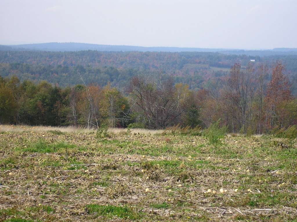
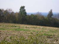
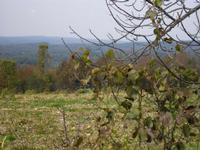
This photo shows a farm scene along Windsor Neck Road, between Windsor Station and Weeks Mills. The West Branch Sheepscot River is at the bottom of the valley, but is not visible in this picture. This site is located in the West Branch Sheepscot sub-basin. Photograph was taken by Eli Asarian on 10/9/2004. |
| CaptionTemplate |
[description] This site is located in the [SubBasin] sub-basin. Photograph was taken by [photographer] on [photodate]. |
| Category |
Watershed Tour |
| Description |
This photo shows a farm scene along Windsor Neck Road, between Windsor Station and Weeks Mills. The West Branch Sheepscot River is at the bottom of the valley, but is not visible in this picture. |
| Filename |
sheep_2004-10-09_09-11-34.jpg |
| Filesize |
127133 |
| Path |
sheep_ifr_04\sheep_2004-10-09_09-11-34.jpg |
| Photodate |
10/9/2004 |
| Photographer |
Eli Asarian |
| Restriction |
None |
| Series |
Tour- West Br. Sheepscot Landscape Photos 2004 |
| SubBasin |
West Branch Sheepscot |
| UpdateDate |
10/20/2004 |
| UpdateName |
JEA |
| Agency |
Institute for Fisheries Resources |
| Basin |
Sheepscot |
| Caption |
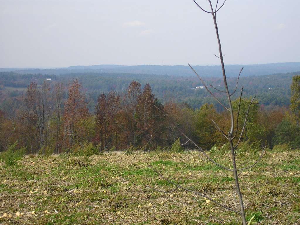
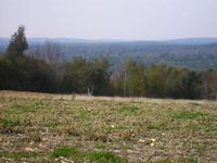
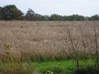
This photo shows a farm scene along Windsor Neck Road, between Windsor Station and Weeks Mills. The West Branch Sheepscot River is at the bottom of the valley, but is not visible in this picture. This site is located in the West Branch Sheepscot sub-basin. Photograph was taken by Eli Asarian on 10/9/2004. |
| CaptionTemplate |
[description] This site is located in the [SubBasin] sub-basin. Photograph was taken by [photographer] on [photodate]. |
| Category |
Watershed Tour |
| Description |
This photo shows a farm scene along Windsor Neck Road, between Windsor Station and Weeks Mills. The West Branch Sheepscot River is at the bottom of the valley, but is not visible in this picture. |
| Filename |
sheep_2004-10-09_09-11-42.jpg |
| Filesize |
135933 |
| Path |
sheep_ifr_04\sheep_2004-10-09_09-11-42.jpg |
| Photodate |
10/9/2004 |
| Photographer |
Eli Asarian |
| Restriction |
None |
| Series |
Tour- West Br. Sheepscot Landscape Photos 2004 |
| SubBasin |
West Branch Sheepscot |
| UpdateDate |
10/20/2004 |
| UpdateName |
JEA |
| Agency |
Institute for Fisheries Resources |
| Basin |
Sheepscot |
| Caption |
This photo shows a farm scene along Windsor Neck Road, between Windsor Station and Weeks Mills. The West Branch Sheepscot River is at the bottom of the valley, but is not visible in this picture. This site is located in the West Branch Sheepscot sub-basin. Photograph was taken by Eli Asarian on 10/9/2004. |
| CaptionTemplate |
[description] This site is located in the [SubBasin] sub-basin. Photograph was taken by [photographer] on [photodate]. |
| Category |
Watershed Tour |
| Description |
This photo shows a farm scene along Windsor Neck Road, between Windsor Station and Weeks Mills. The West Branch Sheepscot River is at the bottom of the valley, but is not visible in this picture. |
| Filename |
sheep_2004-10-09_09-11-49.jpg |
| Filesize |
117171 |
| Path |
sheep_ifr_04\sheep_2004-10-09_09-11-49.jpg |
| Photodate |
10/9/2004 |
| Photographer |
Eli Asarian |
| Restriction |
None |
| Series |
Tour- West Br. Sheepscot Landscape Photos 2004 |
| SubBasin |
West Branch Sheepscot |
| UpdateDate |
10/20/2004 |
| UpdateName |
JEA |
| Agency |
Institute for Fisheries Resources |
| Basin |
Sheepscot |
| Caption |
This photo shows a farm scene along Windsor Neck Road, between Windsor Station and Weeks Mills. The West Branch Sheepscot River is at the bottom of the valley, but is not visible in this picture. This site is located in the West Branch Sheepscot sub-basin. Photograph was taken by Eli Asarian on 10/9/2004. |
| CaptionTemplate |
[description] This site is located in the [SubBasin] sub-basin. Photograph was taken by [photographer] on [photodate]. |
| Category |
Watershed Tour |
| Description |
This photo shows a farm scene along Windsor Neck Road, between Windsor Station and Weeks Mills. The West Branch Sheepscot River is at the bottom of the valley, but is not visible in this picture. |
| Filename |
sheep_2004-10-09_09-11-54.jpg |
| Filesize |
135887 |
| Path |
sheep_ifr_04\sheep_2004-10-09_09-11-54.jpg |
| Photodate |
10/9/2004 |
| Photographer |
Eli Asarian |
| Restriction |
None |
| Series |
Tour- West Br. Sheepscot Landscape Photos 2004 |
| SubBasin |
West Branch Sheepscot |
| UpdateDate |
10/20/2004 |
| UpdateName |
JEA |
| Agency |
Institute for Fisheries Resources |
| Basin |
Sheepscot |
| Caption |
This photo shows a farm scene along Windsor Neck Road, between Windsor Station and Weeks Mills. The West Branch Sheepscot River is at the bottom of the valley, but is not visible in this picture. This site is located in the West Branch Sheepscot sub-basin. Photograph was taken by Eli Asarian on 10/9/2004. |
| CaptionTemplate |
[description] This site is located in the [SubBasin] sub-basin. Photograph was taken by [photographer] on [photodate]. |
| Category |
Watershed Tour |
| Description |
This photo shows a farm scene along Windsor Neck Road, between Windsor Station and Weeks Mills. The West Branch Sheepscot River is at the bottom of the valley, but is not visible in this picture. |
| Filename |
sheep_2004-10-09_09-12-19.jpg |
| Filesize |
151142 |
| Path |
sheep_ifr_04\sheep_2004-10-09_09-12-19.jpg |
| Photodate |
10/9/2004 |
| Photographer |
Eli Asarian |
| Restriction |
None |
| Series |
Tour- West Br. Sheepscot Landscape Photos 2004 |
| SubBasin |
West Branch Sheepscot |
| UpdateDate |
10/20/2004 |
| UpdateName |
JEA |