|
Area/Topic | Bibliography | Background | Hypotheses | Home |
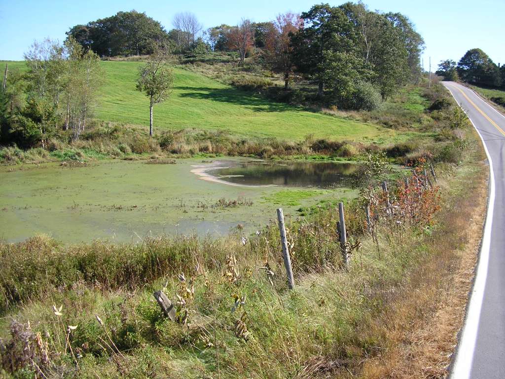
162 KB
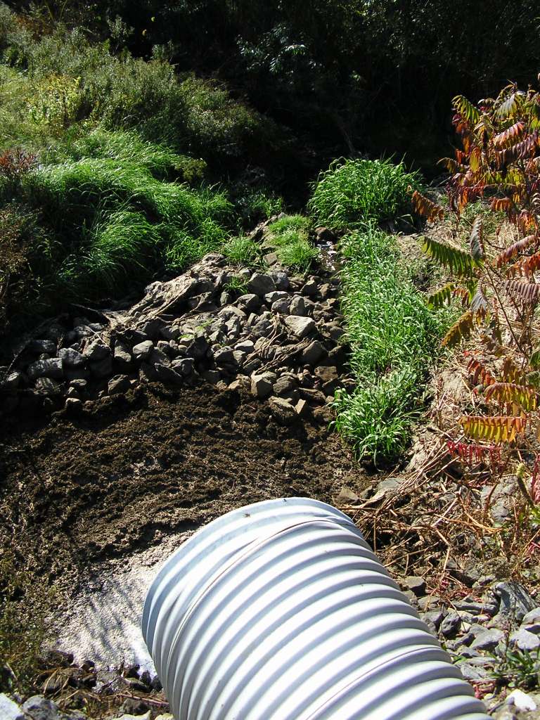
 150 KB
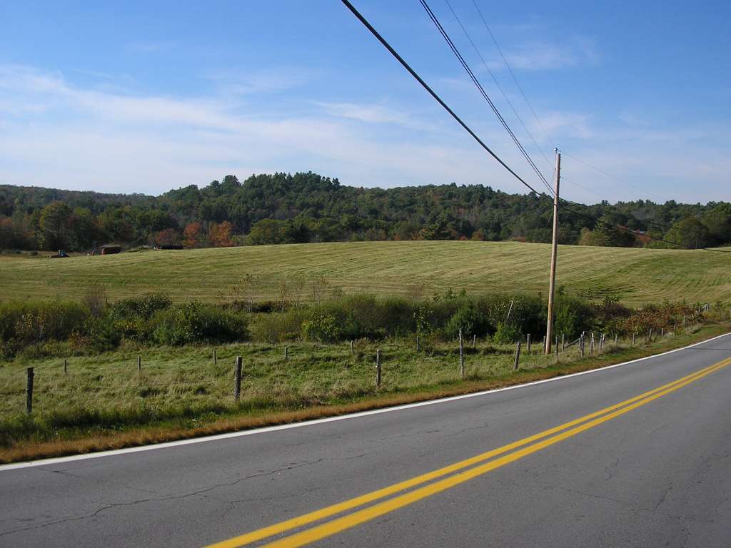
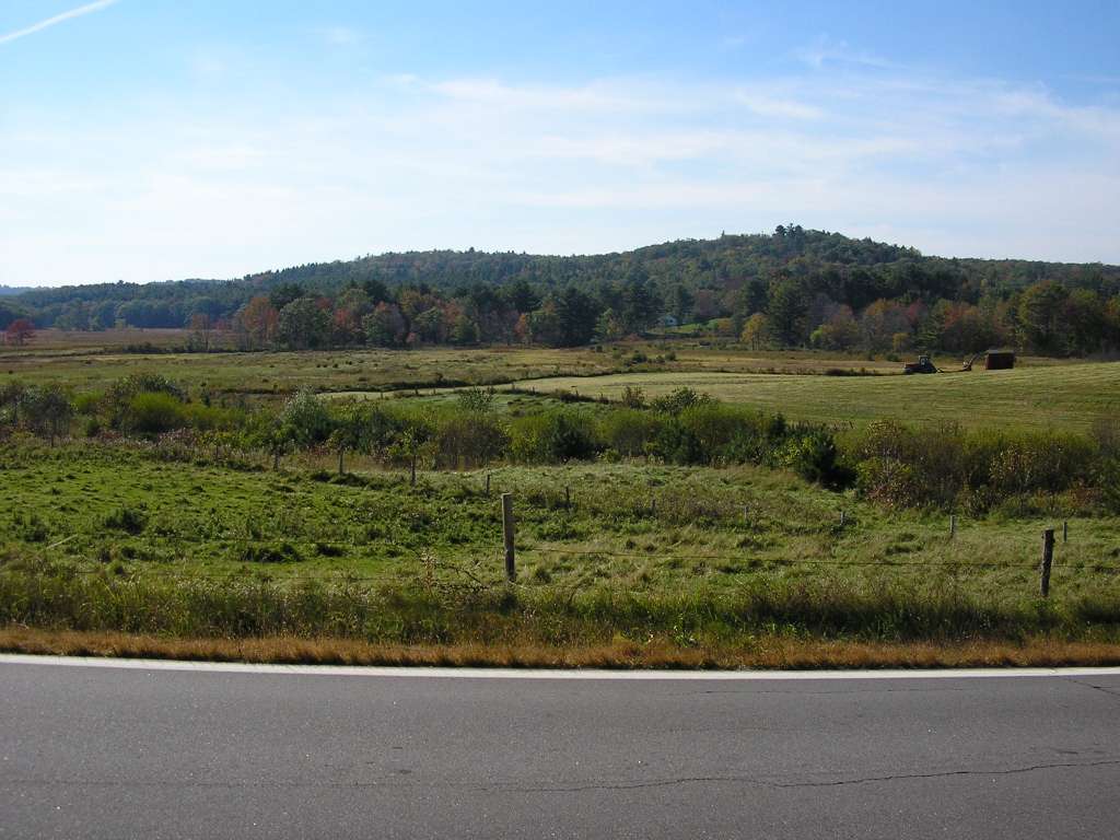
 127 KB
 103 KB
 144 KB
 126 KB
 105 KB
 179 KB
 164 KB
 196 KB
 81 KB
81 KB
 90 KB
90 KB
 161 KB
 142 KB
| www.krisweb.com |