Photo Pages. Photos on this page are from sub-basin Mainstem Sheepscot
and series Tour- Mainstem Sheepscot River.
Click on any thumbnail to see a larger photo.
For detailed information on these photos click here.
346 KB
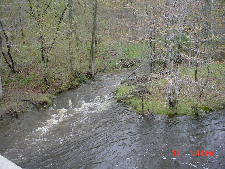
This is a photo of the junction of the West Branch, on the right, and the main stem, far left, in February 2003. Photo by M. Laser.
496 KB
This is a photo of junction of Finn Brook with the Sheepscot River, looking upstream from the Route 126 bridge. Note the color difference between the tributary and the river. Photo taken by M. Laser.
390 KB
This is a photo taken from the top of the Head Tide Dam looking upstream at the Sheepscot River taken in April 2002. The dam is located in the Town of Alna at the Head of Tide. Picture taken by M. Laser.
444 KB
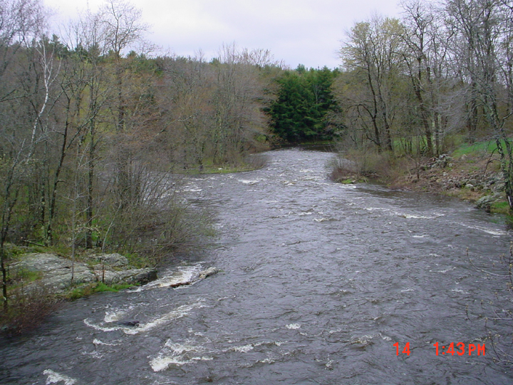
This is a photo taken from the Route 126 bridge looking downstream at the Sheepscot River. Picture taken by M. Laser.
443 KB
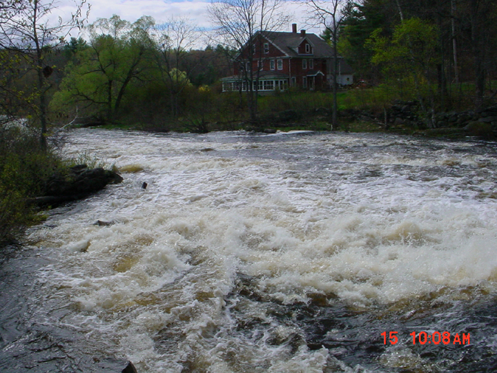
This is a photo taken during the high flows in April 2002 at the old dam site in Kings Mills. Picture taken by M. Laser.
393 KB
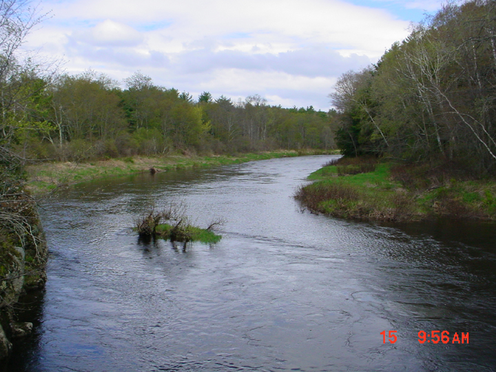
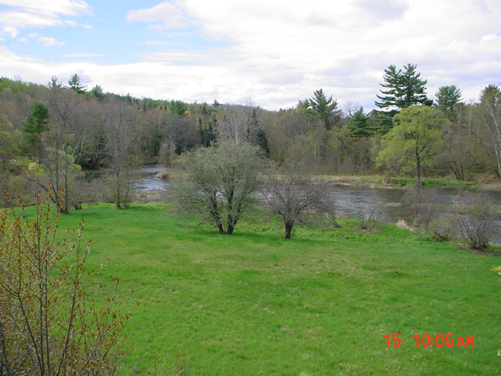
This is a photo of the Sheepscot River taken from Route 194 in Whitefield looking downstream at the Sheepscot River. The photo was taken in in April 2002. Picture taken by M. Laser.

 496 KB
 390 KB
 444 KB
 443 KB
 393 KB